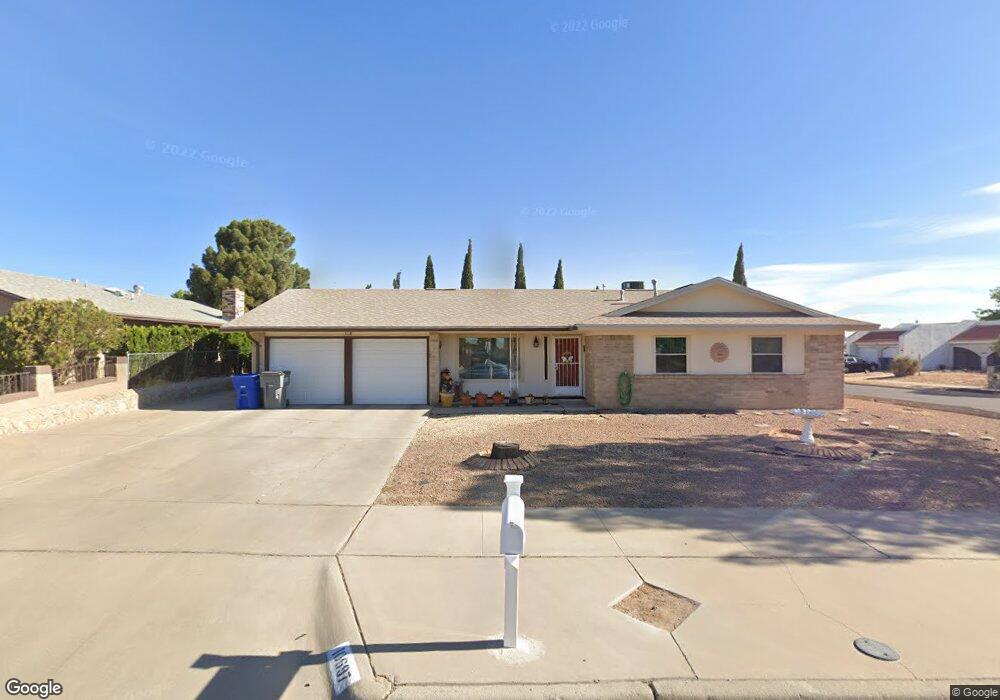
10697 Coralstone Dr El Paso, TX 79935
Pebble Hills NeighborhoodEstimated Value: $213,000 - $232,000
3
Beds
2
Baths
1,415
Sq Ft
$156/Sq Ft
Est. Value
About This Home
This home is located at 10697 Coralstone Dr, El Paso, TX 79935 and is currently estimated at $220,063, approximately $155 per square foot. 10697 Coralstone Dr is a home located in El Paso County with nearby schools including Robbin E L Washington Elementary School, J M Hanks High School, and New World Montessori School.
Ownership History
Date
Name
Owned For
Owner Type
Purchase Details
Closed on
Feb 6, 2025
Sold by
Vazquez Jose M
Bought by
Martinez Norma P
Current Estimated Value
Purchase Details
Closed on
Jun 5, 2002
Sold by
Sunde William Marvin and Sunde Resi
Bought by
Vazquez Jose M
Home Financials for this Owner
Home Financials are based on the most recent Mortgage that was taken out on this home.
Original Mortgage
$75,905
Interest Rate
6.89%
Create a Home Valuation Report for This Property
The Home Valuation Report is an in-depth analysis detailing your home's value as well as a comparison with similar homes in the area
Home Values in the Area
Average Home Value in this Area
Purchase History
| Date | Buyer | Sale Price | Title Company |
|---|---|---|---|
| Martinez Norma P | -- | None Listed On Document | |
| Vazquez Jose M | -- | -- |
Source: Public Records
Mortgage History
| Date | Status | Borrower | Loan Amount |
|---|---|---|---|
| Previous Owner | Vazquez Jose M | $75,905 |
Source: Public Records
Tax History Compared to Growth
Tax History
| Year | Tax Paid | Tax Assessment Tax Assessment Total Assessment is a certain percentage of the fair market value that is determined by local assessors to be the total taxable value of land and additions on the property. | Land | Improvement |
|---|---|---|---|---|
| 2025 | $3,317 | $203,654 | -- | -- |
| 2024 | $3,317 | $185,140 | -- | -- |
| 2023 | $3,317 | $168,309 | $0 | $0 |
| 2022 | $4,751 | $153,008 | $0 | $0 |
| 2021 | $4,521 | $139,098 | $23,785 | $115,313 |
| 2020 | $4,151 | $131,425 | $21,223 | $110,202 |
| 2018 | $3,960 | $127,342 | $21,223 | $106,119 |
| 2017 | $3,652 | $119,475 | $21,223 | $98,252 |
| 2016 | $3,652 | $119,475 | $21,223 | $98,252 |
| 2015 | $2,990 | $125,121 | $21,223 | $103,898 |
| 2014 | $2,990 | $125,586 | $21,223 | $104,363 |
Source: Public Records
Map
Nearby Homes
- 3400 Brookrock St
- 3453 Guthrie St
- 3425 Brookrock St
- 3369 Freeport Dr
- 10816 Cardigan Dr
- 10602 Drillstone Dr
- 10649 Islerock Dr
- 10605 Kinross Ave Unit B
- 3324 Kilgore Place
- 10905 Sagebrush Way Unit A & B
- 3213 Isla Cocoa Ln
- 10405 Darin Rd
- 3332 Dungarvan Dr
- 3112 Eads Place
- 3317 Dungarvan Dr
- 11016 Aqua Ct
- 3319 Menard Ln
- 3229 E Glen Dr
- 3200 Voss Dr
- 11025 Sunshine Ct
- 10693 Coralstone Dr
- 10696 Birthstone Dr
- 10692 Birthstone Dr
- 10689 Coralstone Dr
- 3444 Edgerock Dr
- 3448 Edgerock Dr
- 10696 Coralstone Dr
- 10692 Coralstone Dr
- 3440 Edgerock Dr
- 10688 Birthstone Dr
- 3452 Edgerock Dr
- 10688 Coralstone Dr
- 10685 Coralstone Dr
- 3436 Edgerock Dr
- 10684 Birthstone Dr
- 3456 Edgerock Dr
- 10684 Coralstone Dr
- 3445 Freeport Dr
- 3449 Freeport Dr
- 3441 Freeport Dr