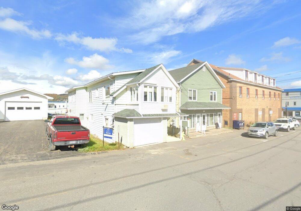
107 10th Ave Madawaska, ME 04756
Estimated Value: $149,000 - $199,000
3
Beds
2
Baths
--
Sq Ft
5,663
Sq Ft Lot
About This Home
This home is located at 107 10th Ave, Madawaska, ME 04756 and is currently estimated at $168,952. 107 10th Ave is a home located in Aroostook County with nearby schools including Madawaska Elementary School and Madawaska Middle/High School.
Ownership History
Date
Name
Owned For
Owner Type
Purchase Details
Closed on
Sep 4, 2025
Sold by
Louis Philip Baron Lt and Baron
Bought by
Dna Properties Llc
Current Estimated Value
Home Financials for this Owner
Home Financials are based on the most recent Mortgage that was taken out on this home.
Original Mortgage
$105,000
Outstanding Balance
$104,818
Interest Rate
6.74%
Mortgage Type
Purchase Money Mortgage
Estimated Equity
$64,134
Create a Home Valuation Report for This Property
The Home Valuation Report is an in-depth analysis detailing your home's value as well as a comparison with similar homes in the area
Home Values in the Area
Average Home Value in this Area
Purchase History
| Date | Buyer | Sale Price | Title Company |
|---|---|---|---|
| Dna Properties Llc | $150,000 | -- |
Source: Public Records
Mortgage History
| Date | Status | Borrower | Loan Amount |
|---|---|---|---|
| Open | Dna Properties Llc | $105,000 |
Source: Public Records
Tax History Compared to Growth
Tax History
| Year | Tax Paid | Tax Assessment Tax Assessment Total Assessment is a certain percentage of the fair market value that is determined by local assessors to be the total taxable value of land and additions on the property. | Land | Improvement |
|---|---|---|---|---|
| 2022 | $3,463 | $152,200 | $5,800 | $146,400 |
| 2021 | $3,269 | $148,600 | $5,800 | $142,800 |
| 2020 | $3,396 | $148,600 | $5,800 | $142,800 |
| 2019 | $3,448 | $148,600 | $5,800 | $142,800 |
| 2018 | $3,002 | $148,600 | $5,800 | $142,800 |
| 2017 | $2,927 | $148,600 | $5,800 | $142,800 |
| 2016 | $2,779 | $148,600 | $5,800 | $142,800 |
| 2015 | $2,764 | $148,600 | $5,800 | $142,800 |
| 2014 | $2,504 | $143,900 | $5,800 | $138,100 |
| 2013 | $2,576 | $143,900 | $5,800 | $138,100 |
Source: Public Records
Map
Nearby Homes
- 334 Main St
- 408 Saint Thomas St
- 432 St Thomas and 129 5th Avenue St
- 432 St Thomas St
- 111 4th Ave
- 039,40-40c 3rd Ave
- 134 18th Ave
- 114 19th Ave
- 137 Fox St
- 123 Birch St
- M 28D L66A Ridgeview Ave
- M28D L66B Ridgeview Ave
- M28D L66C Ridgeview Ave
- 586 Main St
- 543 E Main St
- 212 22nd Ave
- Lot 18 Cross Rd
- 109 Dionne St
- 282 19th Ave
- Map 28 Lot 5