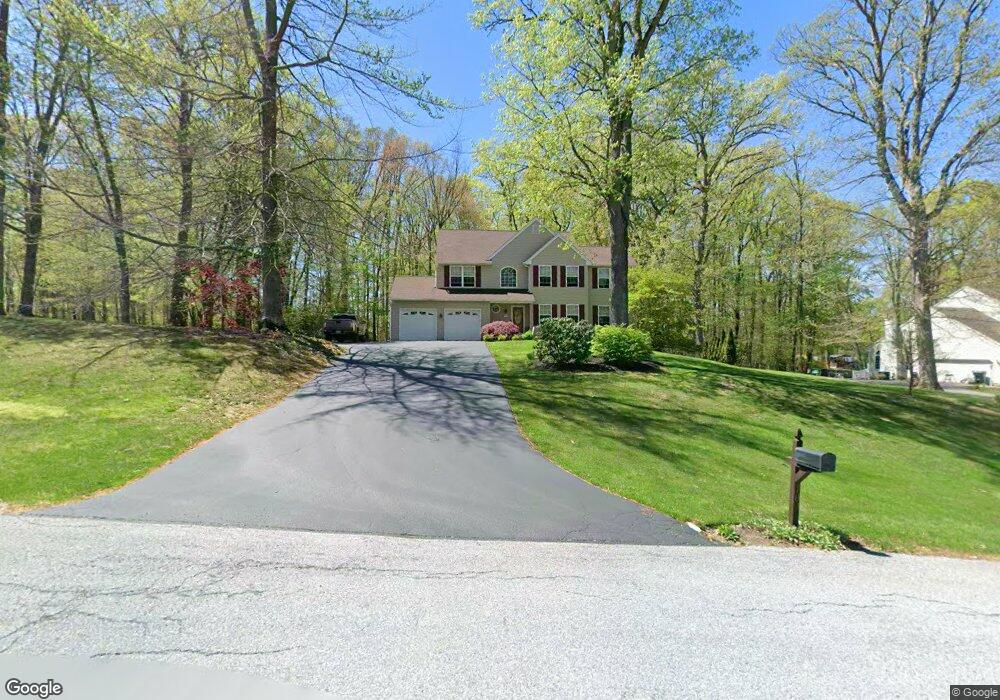
107 Acorn Way Honey Brook, PA 19344
Estimated Value: $501,000 - $580,000
4
Beds
3
Baths
2,584
Sq Ft
$207/Sq Ft
Est. Value
About This Home
This home is located at 107 Acorn Way, Honey Brook, PA 19344 and is currently estimated at $535,786, approximately $207 per square foot. 107 Acorn Way is a home located in Chester County with nearby schools including Kings Highway Elementary School, Coatesville Intermediate High School, and Coatesville Area Senior High School.
Ownership History
Date
Name
Owned For
Owner Type
Purchase Details
Closed on
Jul 16, 2010
Sold by
Taylor Thomas D and Taylor Tina L
Bought by
Choquette Ronald G and Choquette Patricia A
Current Estimated Value
Purchase Details
Closed on
Dec 20, 2001
Sold by
Williams Robert W and Williams Dyana A
Bought by
Smith Jay Alan and Morris Julie Elaine
Home Financials for this Owner
Home Financials are based on the most recent Mortgage that was taken out on this home.
Original Mortgage
$201,500
Interest Rate
6.61%
Purchase Details
Closed on
Jan 19, 2001
Sold by
Chester Point Land Development Inc
Bought by
Williams Robert W and Williams Dyana A
Home Financials for this Owner
Home Financials are based on the most recent Mortgage that was taken out on this home.
Original Mortgage
$173,500
Interest Rate
7.39%
Purchase Details
Closed on
Sep 3, 1999
Sold by
Cushman Stephen E and Marshman Donald L
Bought by
Chester Point Land Development Inc
Create a Home Valuation Report for This Property
The Home Valuation Report is an in-depth analysis detailing your home's value as well as a comparison with similar homes in the area
Home Values in the Area
Average Home Value in this Area
Purchase History
| Date | Buyer | Sale Price | Title Company |
|---|---|---|---|
| Choquette Ronald G | $295,000 | None Available | |
| Smith Jay Alan | $223,900 | T A Title Insurance Co | |
| Williams Robert W | $217,000 | -- | |
| Chester Point Land Development Inc | $43,000 | -- |
Source: Public Records
Mortgage History
| Date | Status | Borrower | Loan Amount |
|---|---|---|---|
| Previous Owner | Smith Jay Alan | $201,500 | |
| Previous Owner | Williams Robert W | $173,500 | |
| Closed | Williams Robert W | $32,550 |
Source: Public Records
Tax History Compared to Growth
Tax History
| Year | Tax Paid | Tax Assessment Tax Assessment Total Assessment is a certain percentage of the fair market value that is determined by local assessors to be the total taxable value of land and additions on the property. | Land | Improvement |
|---|---|---|---|---|
| 2025 | $8,717 | $176,560 | $27,160 | $149,400 |
| 2024 | $8,717 | $176,560 | $27,160 | $149,400 |
| 2023 | $8,390 | $176,560 | $27,160 | $149,400 |
| 2022 | $7,988 | $176,560 | $27,160 | $149,400 |
| 2021 | $7,857 | $176,560 | $27,160 | $149,400 |
| 2020 | $7,693 | $176,560 | $27,160 | $149,400 |
| 2019 | $7,437 | $176,560 | $27,160 | $149,400 |
| 2018 | $7,112 | $176,560 | $27,160 | $149,400 |
| 2017 | $6,856 | $176,560 | $27,160 | $149,400 |
| 2016 | $6,663 | $165,200 | $27,160 | $138,040 |
| 2015 | $6,663 | $165,200 | $27,160 | $138,040 |
| 2014 | $6,663 | $165,200 | $27,160 | $138,040 |
Source: Public Records
Map
Nearby Homes
- 114 Jacobs Dr
- 158 Leary Rd
- 116 Cornwall Place
- 105 Cambridge Rd
- 211 Michael Rd
- 151 S Sandy Hill Rd
- 146 Ash Rd
- 332 Beacon Light Rd
- 221 Creamery Rd
- 14 Blue Spruce Dr
- 317 Compass Rd
- 114 Wendy Cir
- 339 Churchtown Rd
- 808 Old Wilmington Rd
- 284 Old Mill Rd
- 215 Jamie Ln
- 102 Green Hill Rd Unit A1
- 201 Fox Trail Unit Y140
- 408 Green Hill Rd Unit D22
- 128 Larose Dr Unit 1F