Estimated Value: $343,954
Studio
--
Bath
5,800
Sq Ft
$59/Sq Ft
Est. Value
About This Home
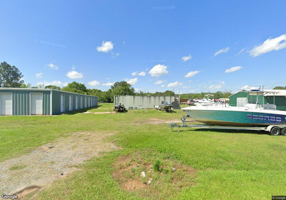
This home is located at 107 Adams St, Pavo, GA 31778 and is currently estimated at $343,954, approximately $59 per square foot. 107 Adams St is a home located in Brooks County with nearby schools including North Brooks Elementary School.
Ownership History
Date
Name
Owned For
Owner Type
Purchase Details
Closed on
Jun 13, 2025
Sold by
Herzog John
Bought by
Pavo Mini Storage Llc
Current Estimated Value
Home Financials for this Owner
Home Financials are based on the most recent Mortgage that was taken out on this home.
Original Mortgage
$337,340
Outstanding Balance
$329,043
Interest Rate
5.92%
Mortgage Type
New Conventional
Estimated Equity
$14,911
Purchase Details
Closed on
Sep 28, 2018
Sold by
Mediate Dale
Bought by
Herzog John
Purchase Details
Closed on
Jun 5, 2003
Sold by
Lewis Walter L
Bought by
Mediate Dale
Purchase Details
Closed on
Sep 5, 1995
Sold by
Vigoro Industries Inc
Bought by
Lewis Walter L
Purchase Details
Closed on
Jan 7, 1993
Sold by
Wilbur-Ellis Company
Bought by
Vigoro Industries Inc
Purchase Details
Closed on
Apr 3, 1989
Sold by
Tide Products Inc
Bought by
Wilbur-Ellis Company
Purchase Details
Closed on
Mar 2, 1981
Sold by
First National Of Atlanta
Bought by
Tide Products Inc
Create a Home Valuation Report for This Property
The Home Valuation Report is an in-depth analysis detailing your home's value as well as a comparison with similar homes in the area
Purchase History
| Date | Buyer | Sale Price | Title Company |
|---|---|---|---|
| Pavo Mini Storage Llc | $350,000 | -- | |
| Herzog John | $225,000 | -- | |
| Mediate Dale | $70,000 | -- | |
| Lewis Walter L | $35,000 | -- | |
| Vigoro Industries Inc | $49,000 | -- | |
| Wilbur-Ellis Company | $184,000 | -- | |
| Tide Products Inc | -- | -- | |
| Tide Products | $15,000 | -- |
Source: Public Records
Mortgage History
| Date | Status | Borrower | Loan Amount |
|---|---|---|---|
| Open | Pavo Mini Storage Llc | $337,340 |
Source: Public Records
Tax History
| Year | Tax Paid | Tax Assessment Tax Assessment Total Assessment is a certain percentage of the fair market value that is determined by local assessors to be the total taxable value of land and additions on the property. | Land | Improvement |
|---|---|---|---|---|
| 2025 | $1,875 | $41,240 | $11,920 | $29,320 |
| 2024 | $1,766 | $38,480 | $9,160 | $29,320 |
| 2023 | $1,914 | $39,560 | $9,160 | $30,400 |
| 2022 | $1,567 | $37,160 | $8,800 | $28,360 |
| 2021 | $1,335 | $31,640 | $3,360 | $28,280 |
| 2020 | $1,125 | $26,680 | $3,360 | $23,320 |
| 2019 | $769 | $21,320 | $3,440 | $17,880 |
| 2018 | $994 | $22,960 | $4,440 | $18,520 |
| 2017 | $838 | $23,240 | $4,440 | $18,800 |
Source: Public Records
Map
Nearby Homes
- 581 Harris St
- 1230 Parrish Rd
- 1136 Nesbitt Rd
- 813 Vonier Rd
- 813 Vonier Road (6 Acres)
- 8447 Airline Rd
- 1038-BA Church St
- 800 Clifford St
- 7402 Coffee Rd
- 9283 Tallokas Rd Unit 54/13
- 9283 Tallokas Rd
- 7921 Five Forks Rd
- 3812 Ponder Rd
- 111 Nicole Britt Dr
- 110 Nicole Britt Dr
- 106 Nicole Britt Dr
- 101 Bailey Cir
- 201 Bailey Cir
- 431 Dry Lake Rd
- 9900 Ozell Rd