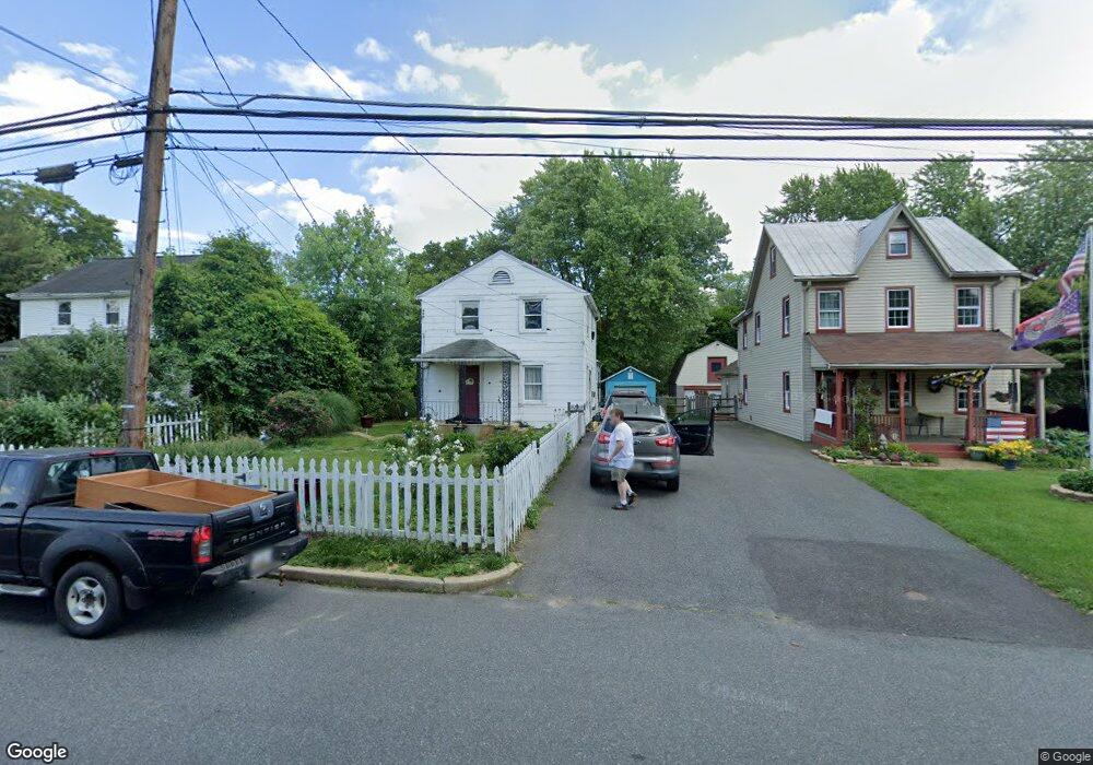
107 Baltimore St Aberdeen, MD 21001
Estimated Value: $204,000 - $281,000
Studio
2
Baths
1,180
Sq Ft
$211/Sq Ft
Est. Value
About This Home
This home is located at 107 Baltimore St, Aberdeen, MD 21001 and is currently estimated at $248,680, approximately $210 per square foot. 107 Baltimore St is a home located in Harford County with nearby schools including Bakerfield Elementary School, Aberdeen Middle School, and Aberdeen High School.
Ownership History
Date
Name
Owned For
Owner Type
Purchase Details
Closed on
Nov 14, 2001
Sold by
Borns Nicholas
Bought by
Ray Kathy L
Current Estimated Value
Purchase Details
Closed on
Dec 1, 1998
Sold by
Secretary Of Housing
Bought by
Borns Nicholas
Purchase Details
Closed on
Apr 20, 1998
Sold by
Bragg Joyce E
Bought by
Secretary Of Housing and Urban Development The
Purchase Details
Closed on
Nov 13, 1995
Sold by
Bragg Robert C
Bought by
Bragg Joyce E
Create a Home Valuation Report for This Property
The Home Valuation Report is an in-depth analysis detailing your home's value as well as a comparison with similar homes in the area
Home Values in the Area
Average Home Value in this Area
Purchase History
| Date | Buyer | Sale Price | Title Company |
|---|---|---|---|
| Ray Kathy L | $71,000 | -- | |
| Borns Nicholas | $61,351 | -- | |
| Secretary Of Housing | $113,000 | -- | |
| Bragg Joyce E | -- | -- |
Source: Public Records
Mortgage History
| Date | Status | Borrower | Loan Amount |
|---|---|---|---|
| Closed | Borns Nicholas | -- |
Source: Public Records
Tax History
| Year | Tax Paid | Tax Assessment Tax Assessment Total Assessment is a certain percentage of the fair market value that is determined by local assessors to be the total taxable value of land and additions on the property. | Land | Improvement |
|---|---|---|---|---|
| 2025 | $1,473 | $163,300 | $0 | $0 |
| 2024 | $1,473 | $154,500 | $0 | $0 |
| 2023 | $1,389 | $145,700 | $51,000 | $94,700 |
| 2022 | $1,373 | $144,067 | $0 | $0 |
| 2021 | $1,416 | $142,433 | $0 | $0 |
| 2020 | $1,416 | $140,800 | $51,000 | $89,800 |
| 2019 | $1,397 | $138,933 | $0 | $0 |
| 2018 | $1,366 | $137,067 | $0 | $0 |
| 2017 | $1,348 | $135,200 | $0 | $0 |
| 2016 | -- | $135,200 | $0 | $0 |
| 2015 | $1,457 | $135,200 | $0 | $0 |
| 2014 | $1,457 | $141,300 | $0 | $0 |
Source: Public Records
Map
Nearby Homes
- 0 Harford St Unit MDHR2039982
- 754 Custis St
- 125 Valley Rd
- 647 Elm St
- 687 Plater St
- 631 W Bel Air Ave
- 21 Gunnison Dr
- 321 S Law St
- 45 Mount Royal Ave
- 69 Baker St
- 107 Moyer Dr
- 740 Bur Oak Ct Unit 78
- 722 Bur Oak Ct Unit 77
- 444 Chestnut St
- 136 S Parke St
- 449 S Law St
- 0 S Philadelphia Blvd
- 302 Graceford Dr
- 648 S Rogers St
- 890 Oxford Ave
- 111 Baltimore St
- 103 Baltimore St
- 115 Baltimore St
- 119 Baltimore St
- 11 Baltimore St
- 123 Baltimore St
- 110 Baltimore St
- 102 Baltimore St
- 127 Baltimore St
- 12 Baltimore St
- 122 Harford St
- 116 Baltimore St
- 8 Baltimore St
- 129 Baltimore St
- 126 Baltimore St
- 136 Baltimore St
- 468 W Bel Air Ave
- 120 Harford St
- 2 Baltimore St
- 501 Market St
Your Personal Tour Guide
Ask me questions while you tour the home.