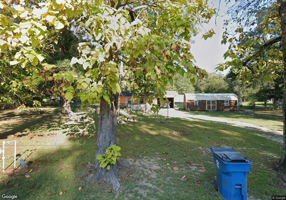
107 Barnett St Malvern, AR 72104
Estimated Value: $52,169 - $98,000
--
Bed
1
Bath
964
Sq Ft
$85/Sq Ft
Est. Value
About This Home
This home is located at 107 Barnett St, Malvern, AR 72104 and is currently estimated at $82,292, approximately $85 per square foot. 107 Barnett St is a home located in Hot Spring County with nearby schools including Malvern Elementary School, Wilson Intermediate School, and Malvern Junior High School.
Ownership History
Date
Name
Owned For
Owner Type
Purchase Details
Closed on
Mar 15, 2019
Sold by
Rowton Samuel and Rowton Jessica A
Bought by
Robbecke Vincent and Robbecke Debbie
Current Estimated Value
Home Financials for this Owner
Home Financials are based on the most recent Mortgage that was taken out on this home.
Original Mortgage
$25,000
Outstanding Balance
$21,979
Interest Rate
4.4%
Mortgage Type
Seller Take Back
Estimated Equity
$60,313
Purchase Details
Closed on
Mar 12, 1998
Bought by
Goyne James R and Goyne Dorothy
Purchase Details
Closed on
Mar 21, 1997
Bought by
Goyne James R and Goyne Dorothy
Create a Home Valuation Report for This Property
The Home Valuation Report is an in-depth analysis detailing your home's value as well as a comparison with similar homes in the area
Home Values in the Area
Average Home Value in this Area
Purchase History
| Date | Buyer | Sale Price | Title Company |
|---|---|---|---|
| Robbecke Vincent | $55,000 | None Available | |
| Goyne James R | -- | -- | |
| Goyne James R | -- | -- |
Source: Public Records
Mortgage History
| Date | Status | Borrower | Loan Amount |
|---|---|---|---|
| Open | Robbecke Vincent | $25,000 |
Source: Public Records
Tax History Compared to Growth
Tax History
| Year | Tax Paid | Tax Assessment Tax Assessment Total Assessment is a certain percentage of the fair market value that is determined by local assessors to be the total taxable value of land and additions on the property. | Land | Improvement |
|---|---|---|---|---|
| 2024 | -- | $4,135 | $550 | $3,585 |
| 2023 | $0 | $4,135 | $550 | $3,585 |
| 2022 | $0 | $4,135 | $550 | $3,585 |
| 2021 | $1,043 | $4,135 | $550 | $3,585 |
| 2020 | $1,043 | $3,350 | $1,000 | $2,350 |
| 2019 | $0 | $3,350 | $1,000 | $2,350 |
| 2018 | $0 | $3,350 | $1,000 | $2,350 |
| 2017 | $0 | $3,350 | $1,000 | $2,350 |
| 2016 | $178 | $3,350 | $1,000 | $2,350 |
| 2015 | -- | $4,110 | $900 | $3,210 |
| 2014 | -- | $4,110 | $900 | $3,210 |
Source: Public Records
Map
Nearby Homes
- 0 S Vinyard Rd Unit 25030774
- 312 Cabe St
- 420 Happy St
- 0 3rd St
- 315 W 3rd St
- 721 Fairview St
- 715 Division St
- 513 Lowden St
- 512 Hoover St
- 428 Babcock St
- 630 Hoover St
- 1320 Spruce St
- 619 Hoover St
- 609 W Highland Ave
- 124 W Sullenberger Ave
- 511 Moore St
- 325 W Mill St
- 541 Mcbee St
- 14377 U S Highway 67
- 1226 Grayson Cir
- 106 Barnett St
- 0 Hwy 9 Unit 15017592
- 0 Hwy 9 Unit 15018143
- 0 Hwy 9 Unit 15024448
- 0 Hwy 51 Unit 16003853
- 0 Hwy 51 Unit 16016715
- 0 Hwy 51 Unit 17004077
- 116 Barnett St
- 115 Barnett St
- XX Hwy 84
- 1126 Faith St
- 120 Barnett St
- 0 84 Hwy
- 0 E Butterfield Rd Unit 21008998
- 270 Highway 270
- 1027 Hope St
- 270 Rockport St
- 1207 Faith St
- 116 N Park Dr
- 1125 Hope St