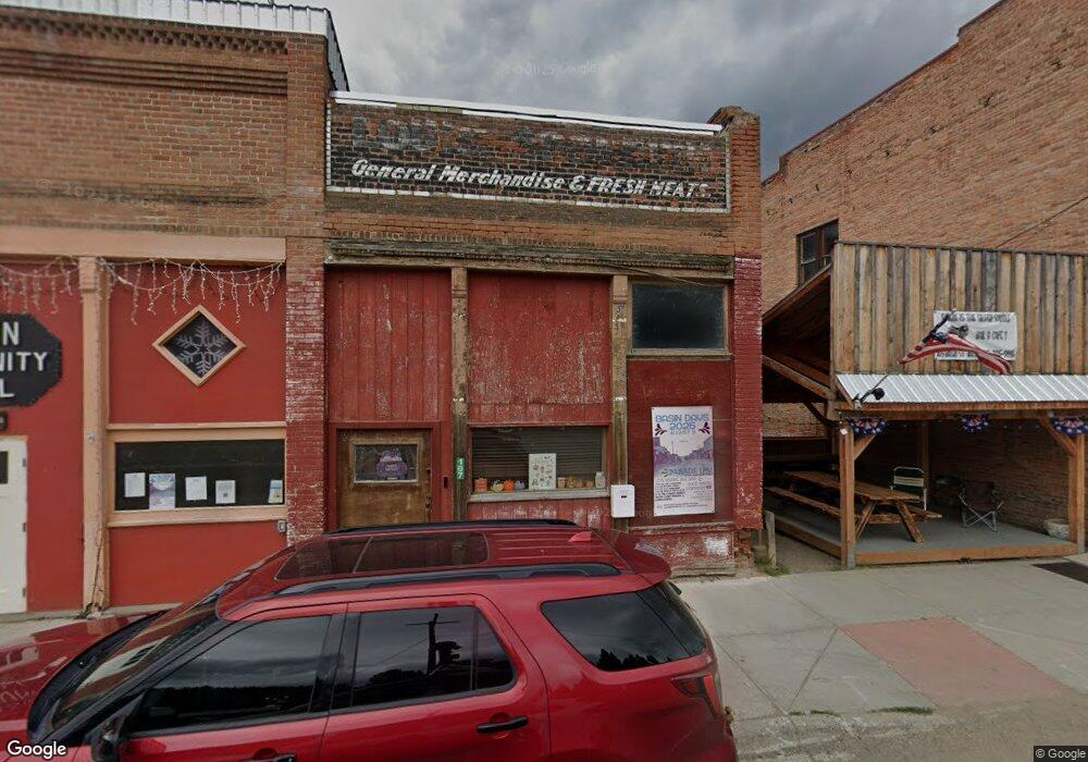
107 Basin St Basin, MT 59631
Estimated Value: $264,000 - $529,000
About This Home
This home is located at 107 Basin St, Basin, MT 59631 and is currently estimated at $357,256, approximately $200 per square foot. 107 Basin St is a home with nearby schools including Jefferson High School.
Ownership History
We collect this data history from publicly available records. To have your information removed, we recommend requesting removal directly through your county’s website.
Purchase Details
Purchase Details
Home Financials for this Owner
Home Financials are based on the most recent Mortgage that was taken out on this home.Purchase History
We collect this data history from publicly available records. To have your information removed, we recommend requesting removal directly through your county’s website.
| Date | Buyer | Sale Price | Title Company |
|---|---|---|---|
| -- | None Available | ||
| -- | United Title Company Nationa |
Mortgage History
We collect this data history from publicly available records. To have your information removed, we recommend requesting removal directly through your county’s website.
| Date | Status | Borrower | Loan Amount |
|---|---|---|---|
| Closed | $92,400 |
Tax History
We collect this data history from publicly available records. To have your information removed, we recommend requesting removal directly through your county’s website.
| Year | Tax Paid | Tax Assessment Tax Assessment Total Assessment is a certain percentage of the fair market value that is determined by local assessors to be the total taxable value of land and additions on the property. | Land | Improvement |
|---|---|---|---|---|
| 2025 | $213 | $326,200 | $0 | $0 |
| 2024 | $170 | $244,980 | $0 | $0 |
| 2023 | $1,727 | $244,060 | $0 | $0 |
| 2022 | $1,289 | $151,022 | $0 | $0 |
| 2021 | $166 | $126,482 | $0 | $0 |
| 2020 | $370 | $96,520 | $0 | $0 |
| 2019 | $476 | $96,520 | $0 | $0 |
| 2018 | $713 | $84,806 | $0 | $0 |
| 2017 | $150 | $84,806 | $0 | $0 |
| 2016 | $287 | $72,340 | $0 | $0 |
| 2015 | $144 | $72,340 | $0 | $0 |
| 2014 | $98 | $42,028 | $0 | $0 |
Map
- TBD Mining Claim Access
- 23 Quartz Ave
- 17 Quartz Ave
- 0 Tbd High Ore Rd Unit LotWP001
- TBD (12.7+/- acres) High Ore Rd
- TBD (12.7 +/- Acres High Ore Rd
- TBD (40.1 +/- Ac) High Ore Rd
- NHN Bishop Creek Rd
- 11 Silver Bell Rd
- TBD W Centennial Ave
- 117 S Cleveland St
- 602 W 2nd Ave
- 307 S Cleveland St
- 107 S Flaherty St
- 508 & 510 W 1st Ave
- 204 Cook St
- 608 N Monroe St
- 306 S Adams St Unit 3
- 306 S Adams St Unit 13
- 206 W 5th Ave Unit 13
- 114 & 116 S Quartz Ave
- 10 Gold Ave
- 82 Basin St
- 99 Basin St
- 76 Basin St
- 19 Gold Ave
- 8 Quartz Ave
- 106 Silver Ave
- 90 Basin St
- Tbd S Quartz Ave
- 106 Basin St
- 106 Basin St St
- 101 N Quartz
- 8 High Ore Rd
- Champion P Lockhart Meadows
- NHN Emma Loda Mining Claim
- NHN New York Lode Mining Claim
- 0 Cloud Peak Ave Unit 10008105
- 0 Ida M Quartz Lode Unit 309780
- NHN Emma Loda Mining Claim Unit Basing Creek Rd
Ask me questions while you tour the home.