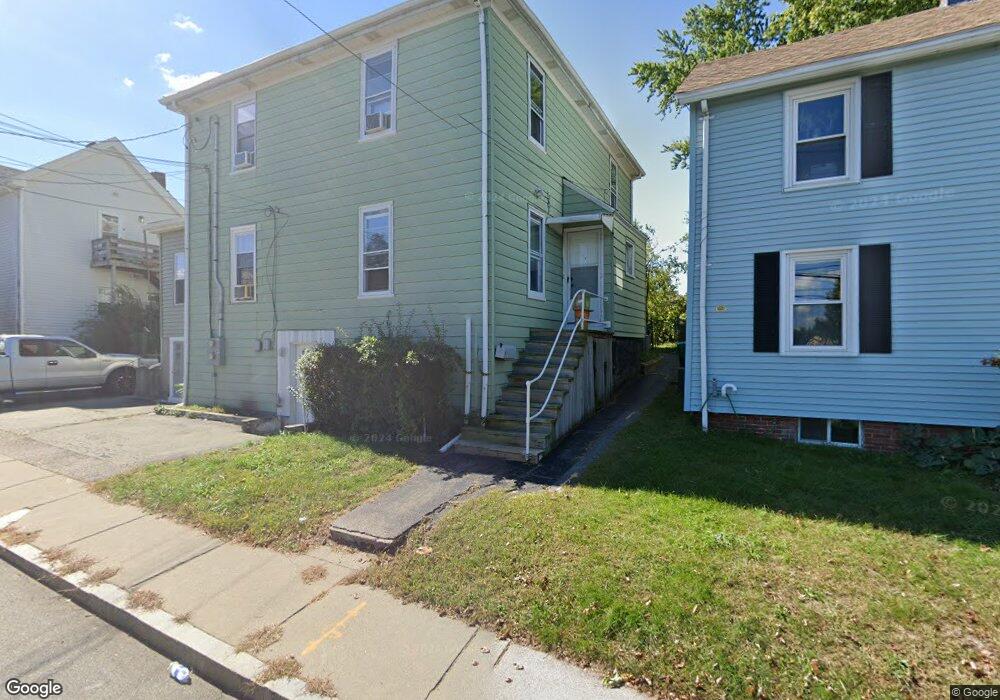
107 Bridge St Unit 109 Newton, MA 02458
Nonantum NeighborhoodEstimated Value: $1,242,000 - $1,453,000
6
Beds
4
Baths
2,733
Sq Ft
$483/Sq Ft
Est. Value
About This Home
This home is located at 107 Bridge St Unit 109, Newton, MA 02458 and is currently estimated at $1,319,976, approximately $482 per square foot. 107 Bridge St Unit 109 is a home located in Middlesex County with nearby schools including Lincoln-Eliot Elementary School, Bigelow Middle School, and Newton North High School.
Ownership History
Date
Name
Owned For
Owner Type
Purchase Details
Closed on
Oct 7, 2022
Sold by
Ngies Sokha
Bought by
Ngies Ft
Current Estimated Value
Purchase Details
Closed on
Oct 5, 1995
Sold by
Lizotte Rodolphe R and Lizotte Arline J
Bought by
Ngies Sokha and Ngies-Ky Chandavy
Home Financials for this Owner
Home Financials are based on the most recent Mortgage that was taken out on this home.
Original Mortgage
$160,000
Interest Rate
7.86%
Mortgage Type
Purchase Money Mortgage
Create a Home Valuation Report for This Property
The Home Valuation Report is an in-depth analysis detailing your home's value as well as a comparison with similar homes in the area
Home Values in the Area
Average Home Value in this Area
Purchase History
| Date | Buyer | Sale Price | Title Company |
|---|---|---|---|
| Ngies Ft | -- | None Available | |
| Ngies Sokha | $201,000 | -- | |
| Ngies Sokha | $201,000 | -- |
Source: Public Records
Mortgage History
| Date | Status | Borrower | Loan Amount |
|---|---|---|---|
| Previous Owner | Ngies Sokha | $160,000 |
Source: Public Records
Tax History Compared to Growth
Tax History
| Year | Tax Paid | Tax Assessment Tax Assessment Total Assessment is a certain percentage of the fair market value that is determined by local assessors to be the total taxable value of land and additions on the property. | Land | Improvement |
|---|---|---|---|---|
| 2025 | $9,695 | $989,300 | $639,200 | $350,100 |
| 2024 | $9,374 | $960,500 | $620,600 | $339,900 |
| 2023 | $9,083 | $892,200 | $506,400 | $385,800 |
| 2022 | $9,960 | $946,800 | $468,900 | $477,900 |
| 2021 | $7,472 | $694,400 | $417,900 | $276,500 |
| 2020 | $7,250 | $694,400 | $417,900 | $276,500 |
| 2019 | $6,299 | $602,800 | $390,600 | $212,200 |
| 2018 | $6,209 | $573,800 | $367,100 | $206,700 |
| 2017 | $5,854 | $526,400 | $336,800 | $189,600 |
| 2016 | $5,495 | $482,900 | $309,000 | $173,900 |
| 2015 | $5,240 | $451,300 | $288,800 | $162,500 |
Source: Public Records
Map
Nearby Homes
- 158 Adams St
- 34 West St Unit A
- 282 Nevada St Unit 282
- 286 Nevada St Unit 286
- 191 Linwood Ave
- 290 Watertown St Unit 3
- 44 Faxon St Unit 2
- 53 West St
- 188-190 Adams St
- 338 Nevada St Unit 338
- 49 Hawthorn St
- 11 Murphy Ct
- 3 Ashmont Ave
- 86 West St
- 42-44 Judkins St
- 22-24 Emerald St
- 12-14 Middle St
- 68 Los Angeles St Unit PH5
- 290 Pleasant St Unit 220
- 290 Pleasant St Unit 113
- 107 Bridge St
- 107 Bridge St Unit 1
- 109 Bridge St Unit 1
- 103 Bridge St
- 3 Chandler St
- 3 Chandler St Unit 1
- 3 Chandler St Unit 2
- 9 Chandler St Unit 11
- 9 Chandler St
- 11 Chandler St Unit 11
- 68 Silver Lake Ave
- 95 Bridge St
- 95 Bridge St Unit 1
- 95 Bridge St Unit 2
- 8 Silver Lake Ave Unit 2
- 102 Bridge St
- 123 Bridge St
- 14 Silver Lake Ave
- 121 Bridge St
- 17 Chandler St