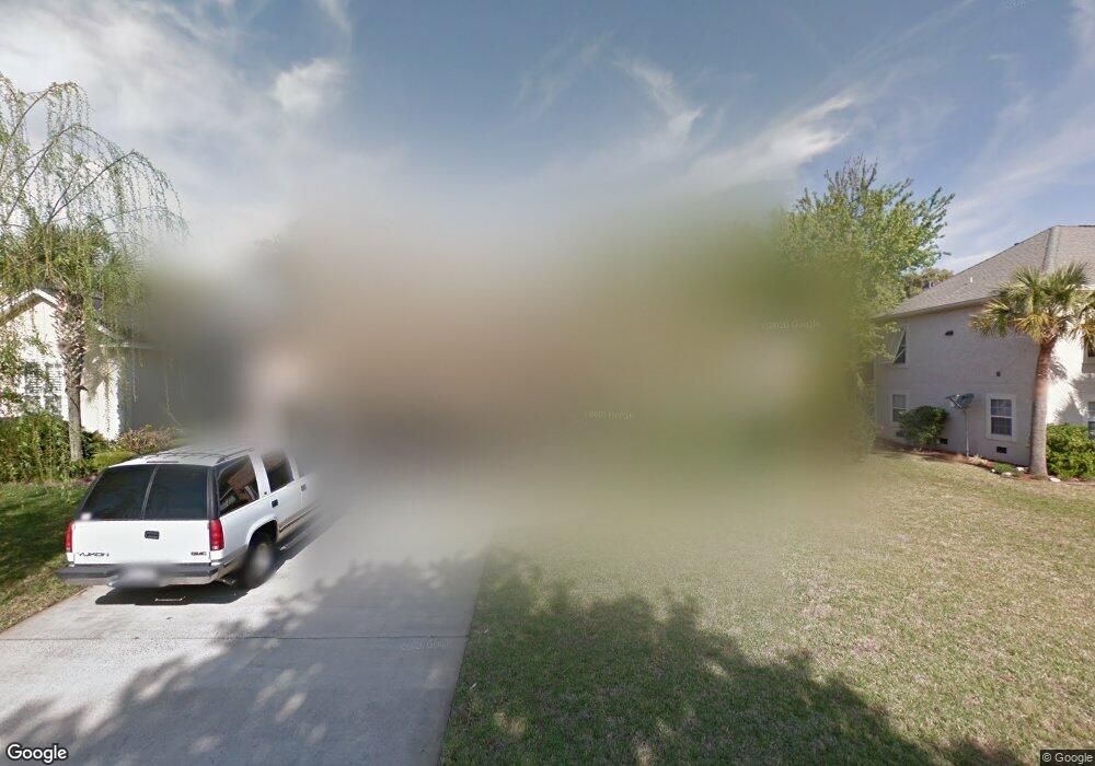
107 Brookfield Trace Saint Simons Island, GA 31522
Estimated Value: $553,000 - $628,000
3
Beds
2
Baths
1,640
Sq Ft
$363/Sq Ft
Est. Value
About This Home
This home is located at 107 Brookfield Trace, Saint Simons Island, GA 31522 and is currently estimated at $595,032, approximately $362 per square foot. 107 Brookfield Trace is a home located in Glynn County with nearby schools including Oglethorpe Point Elementary School, Glynn Middle School, and Glynn Academy.
Ownership History
Date
Name
Owned For
Owner Type
Purchase Details
Closed on
Apr 5, 2007
Sold by
Sanders Gwendolyn J
Bought by
Maloy Jeffrey S and Maloy Kelly L
Current Estimated Value
Home Financials for this Owner
Home Financials are based on the most recent Mortgage that was taken out on this home.
Original Mortgage
$276,000
Outstanding Balance
$165,591
Interest Rate
6.1%
Mortgage Type
New Conventional
Estimated Equity
$429,441
Create a Home Valuation Report for This Property
The Home Valuation Report is an in-depth analysis detailing your home's value as well as a comparison with similar homes in the area
Home Values in the Area
Average Home Value in this Area
Purchase History
| Date | Buyer | Sale Price | Title Company |
|---|---|---|---|
| Maloy Jeffrey S | $345,000 | -- |
Source: Public Records
Mortgage History
| Date | Status | Borrower | Loan Amount |
|---|---|---|---|
| Open | Maloy Jeffrey S | $276,000 | |
| Closed | Maloy Jeffrey S | $51,750 |
Source: Public Records
Tax History Compared to Growth
Tax History
| Year | Tax Paid | Tax Assessment Tax Assessment Total Assessment is a certain percentage of the fair market value that is determined by local assessors to be the total taxable value of land and additions on the property. | Land | Improvement |
|---|---|---|---|---|
| 2025 | $4,932 | $196,640 | $92,000 | $104,640 |
| 2024 | $4,972 | $198,240 | $92,000 | $106,240 |
| 2023 | $2,326 | $198,240 | $92,000 | $106,240 |
| 2022 | $2,762 | $165,000 | $80,000 | $85,000 |
| 2021 | $2,844 | $121,480 | $38,000 | $83,480 |
| 2020 | $2,869 | $121,480 | $38,000 | $83,480 |
| 2019 | $2,869 | $121,480 | $38,000 | $83,480 |
| 2018 | $2,802 | $107,560 | $38,000 | $69,560 |
| 2017 | $2,593 | $99,560 | $30,000 | $69,560 |
| 2016 | $2,404 | $99,560 | $30,000 | $69,560 |
| 2015 | $2,145 | $99,560 | $30,000 | $69,560 |
| 2014 | $2,145 | $88,440 | $30,000 | $58,440 |
Source: Public Records
Map
Nearby Homes
- 112 Brookfield Trace
- 123 Shadow Wood Bend
- 129 Shadow Wood Bend
- 131 Shadow Wood Bend
- 512 Brockinton S
- 18 Canopy Ct
- 24 Canopy Ct
- 3 Canopy Ct
- 8 Canopy Ct
- LOT 18 Canopy Ct
- LOT 3 Canopy Ct
- LOT 1 Canopy Ct
- LOT 24 Canopy Ct
- LOT 8 Canopy Ct
- 622 Brockinton Point
- 110 Pirates Cove
- 361 Brockinton Marsh
- 103 Travellers Way
- 104 Ashwood Way
- 101 Barkentine Ct Unit A-1
- 109 Brookfield Trace
- 105 Brookfield Trace
- 107 Canopy Ct
- 105 Canopy Ct
- 0 Brookfield Trace
- 103 Brookfield Trace
- 106 Brookfield Trace
- 111 Brookfield Trace
- 104 Canopy Ct
- 110 Brookfield Trace
- 104 Brookfield Trace
- 119 Brookfield Trace
- 103 Canopy Ct
- 101 Brookfield Trace
- 134 Shadow Wood Bend
- 102 Canopy Ct
- 114 Shadow Wood Bend
- 112 Shadow Wood Bend
- 116 Shadow Wood Bend
- 125 Brookfield Trace