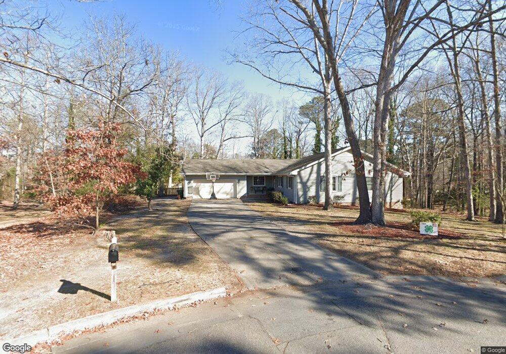
107 Brookside Ct Roanoke Rapids, NC 27870
Estimated Value: $250,341 - $322,000
3
Beds
2
Baths
2,101
Sq Ft
$133/Sq Ft
Est. Value
About This Home
This home is located at 107 Brookside Ct, Roanoke Rapids, NC 27870 and is currently estimated at $280,085, approximately $133 per square foot. 107 Brookside Ct is a home located in Halifax County with nearby schools including Roanoke Rapids High School, Gingerbread House, and Miracle Tabernacle Christian School.
Ownership History
Date
Name
Owned For
Owner Type
Purchase Details
Closed on
Jul 27, 2000
Bought by
Peele Patricia J
Current Estimated Value
Create a Home Valuation Report for This Property
The Home Valuation Report is an in-depth analysis detailing your home's value as well as a comparison with similar homes in the area
Purchase History
| Date | Buyer | Sale Price | Title Company |
|---|---|---|---|
| Peele Patricia J | $160,000 | -- |
Source: Public Records
Tax History
| Year | Tax Paid | Tax Assessment Tax Assessment Total Assessment is a certain percentage of the fair market value that is determined by local assessors to be the total taxable value of land and additions on the property. | Land | Improvement |
|---|---|---|---|---|
| 2025 | $33 | $193,100 | $40,600 | $152,500 |
| 2024 | $33 | $193,100 | $40,600 | $152,500 |
| 2023 | $2,958 | $163,900 | $40,600 | $123,300 |
| 2022 | $2,994 | $163,900 | $40,600 | $123,300 |
| 2021 | $2,909 | $163,900 | $40,600 | $123,300 |
| 2020 | $2,928 | $163,900 | $40,600 | $123,300 |
| 2019 | $2,840 | $156,600 | $40,600 | $116,000 |
| 2018 | $2,780 | $156,600 | $40,600 | $116,000 |
| 2017 | $2,782 | $156,600 | $40,600 | $116,000 |
| 2016 | $2,857 | $156,600 | $40,600 | $116,000 |
| 2015 | $2,722 | $156,600 | $40,600 | $116,000 |
| 2014 | $2,811 | $169,370 | $46,220 | $123,150 |
Source: Public Records
Map
Nearby Homes
- 104 Dunshill Rd
- 305 Rollingwood Rd
- 772 Rivers Edge Pkwy
- 770 Rivers Edge Pkwy
- 778 Rivers Edge Pkwy
- Lot 88R Old Farm Rd
- 780 Rivers Edge Pkwy
- 769 Rivers Edge Pkwy
- 207 Beechwood Dr
- 784 Rivers Edge Pkwy
- 0 Chestnut St
- 755 Rivers Edge Pkwy
- 786 Rivers Edge Pkwy
- 108 Eagle Ct
- 792 Rivers Edge Pkwy
- 873 Chestnut St
- 748 Rivers Edge Pkwy
- 1506 Pruden St
- 746 Rivers Edge Pkwy
- 1401 Pruden St
- 224 Old Farm Rd
- 226 Old Farm Rd
- 109 Brookside Ct
- 222 Old Farm Rd
- 103 Brookside Ct
- 0 Old Farm Rd Also Known As Lot1 MacAllen Ct S D Unit 127726
- 213 Hunting Ridge Rd
- 211 Hunting Ridge Rd
- 110 Berrywood Ct
- 212 Hunting Ridge Rd
- 221 Old Farm Rd
- 214 Hunting Ridge Rd
- 220 Old Farm Rd
- 225 Old Farm Rd
- 208 Hunting Ridge Rd
- 209 Hunting Ridge Rd
- 111 Berrywood Ct
- 216 Hunting Ridge Rd
- 227 Old Farm Rd
- 101 Tanbar Ct
Your Personal Tour Guide
Ask me questions while you tour the home.