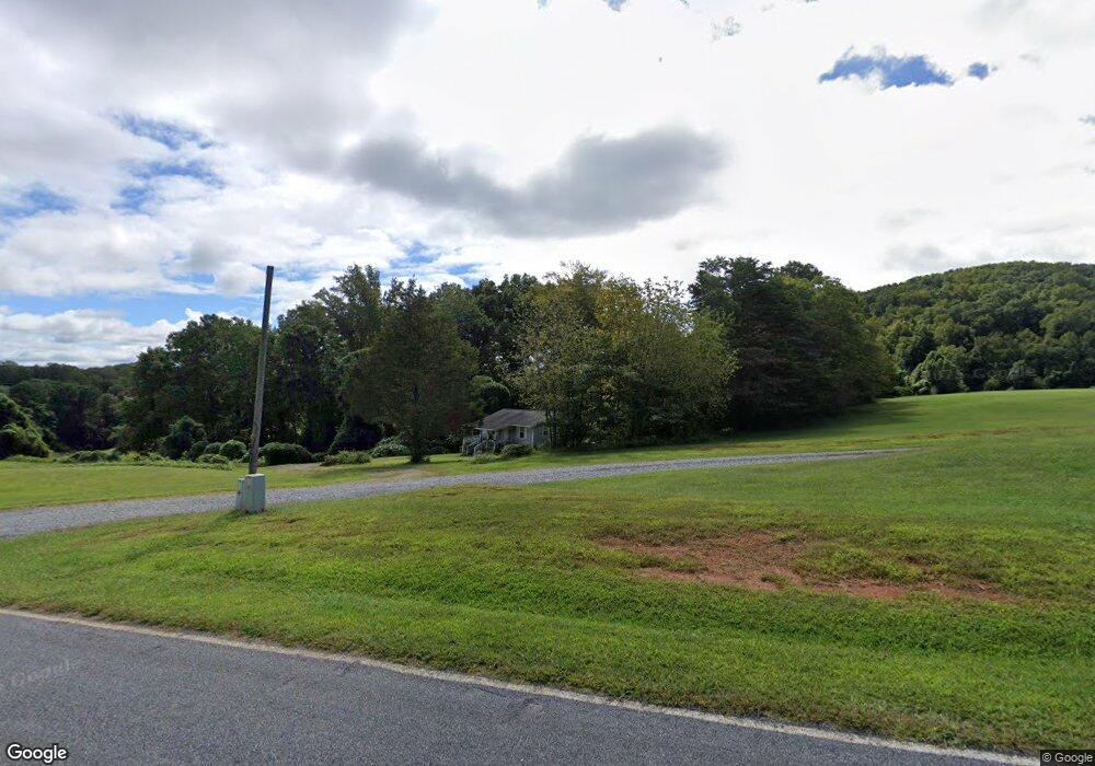
107 Burning Bush Ln Mount Airy, NC 27030
Estimated Value: $127,840 - $175,000
2
Beds
1
Bath
560
Sq Ft
$278/Sq Ft
Est. Value
About This Home
This home is located at 107 Burning Bush Ln, Mount Airy, NC 27030 and is currently estimated at $155,960, approximately $278 per square foot. 107 Burning Bush Ln is a home with nearby schools including White Plains Elementary School, J. Sam Gentry Middle School, and North Surry High School.
Ownership History
Date
Name
Owned For
Owner Type
Purchase Details
Closed on
Jan 29, 2009
Sold by
Sawyers Sahnnon B
Bought by
Sawyers Larry Gray
Current Estimated Value
Purchase Details
Closed on
Sep 27, 2007
Sold by
Sawyers Mandy Tolbert
Bought by
Sawyers Larry G and Sawyers Shannon B
Home Financials for this Owner
Home Financials are based on the most recent Mortgage that was taken out on this home.
Original Mortgage
$16,577
Interest Rate
6.57%
Mortgage Type
New Conventional
Purchase Details
Closed on
Aug 1, 1999
Purchase Details
Closed on
Feb 1, 1983
Purchase Details
Closed on
May 1, 1966
Create a Home Valuation Report for This Property
The Home Valuation Report is an in-depth analysis detailing your home's value as well as a comparison with similar homes in the area
Home Values in the Area
Average Home Value in this Area
Purchase History
| Date | Buyer | Sale Price | Title Company |
|---|---|---|---|
| Sawyers Larry Gray | -- | None Available | |
| Sawyers Larry G | $16,000 | None Available | |
| -- | -- | -- | |
| -- | -- | -- | |
| -- | -- | -- |
Source: Public Records
Mortgage History
| Date | Status | Borrower | Loan Amount |
|---|---|---|---|
| Closed | Sawyers Larry G | $16,577 |
Source: Public Records
Tax History Compared to Growth
Tax History
| Year | Tax Paid | Tax Assessment Tax Assessment Total Assessment is a certain percentage of the fair market value that is determined by local assessors to be the total taxable value of land and additions on the property. | Land | Improvement |
|---|---|---|---|---|
| 2025 | $390 | $59,320 | $17,000 | $42,320 |
| 2024 | $354 | $49,300 | $14,000 | $35,300 |
| 2023 | $349 | $49,300 | $14,000 | $35,300 |
| 2022 | $349 | $49,300 | $14,000 | $35,300 |
| 2021 | $354 | $49,300 | $14,000 | $35,300 |
| 2020 | $355 | $47,680 | $13,000 | $34,680 |
| 2019 | $352 | $47,680 | $0 | $0 |
| 2018 | $352 | $47,680 | $0 | $0 |
| 2017 | $349 | $47,680 | $0 | $0 |
| 2016 | $349 | $47,680 | $0 | $0 |
| 2013 | -- | $48,710 | $0 | $0 |
Source: Public Records
Map
Nearby Homes
- 112 Balcony Ln
- 123 Old Brintle St
- 000 Old Childress Ave
- 151 Siloam Rd
- 1398 Simpson Mill Rd
- 235 Hunter Ridge Ln
- TBD Marion Dr
- 0 Marion Dr
- 146 Hooker Trail
- 153 Hooker Trail
- 00 Nancy Dr
- 250 High Meadow Trail
- 189 Village Main Trail
- 153 Fresh Water Ln
- 195 Piney Grove Rd
- 156 Grace Way
- 167 Buck Hollow Trail
- 1520 Edgewood Dr
- 129 Seabrook Rd
- 366 Sheep Farm Rd
- 143 Burning Bush Ln
- 355 Old Creed Rd
- 135 Kauffman Ln
- 302 Old Creed Rd
- 140 Kauffman Ln
- 106 Holyfield Dr
- 132 Holyfield Dr
- 143 Old Creed Rd
- SR 1602 Old Low Gap Rd
- 419 Old Creed Rd
- 172 Old Creed Rd
- 109 Wallace Creed Rd
- 464 Old Creed Rd
- 127 Kallam Rd
- 237 Wallace Creed Rd
- 263 Wallace Creed Rd
- 117 Old Creed Rd
- 164 Alcorn Ln
- 496 Old Creed Rd
- 930 Siloam Rd