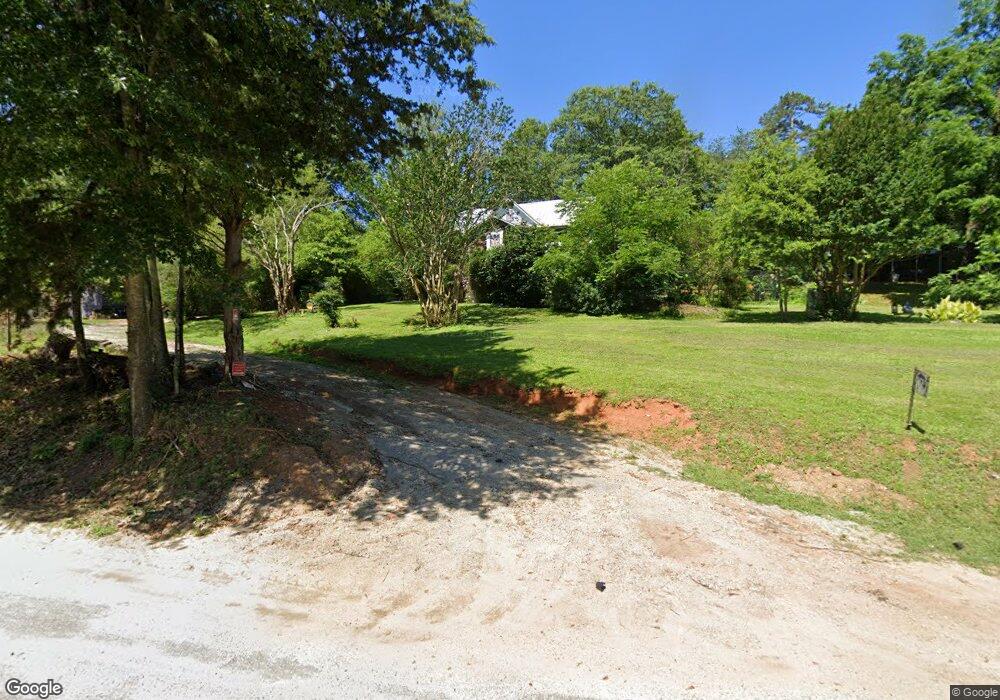
107 Campground Rd Liberty, SC 29657
Estimated Value: $90,000 - $218,000
3
Beds
1
Bath
1,136
Sq Ft
$134/Sq Ft
Est. Value
About This Home
This home is located at 107 Campground Rd, Liberty, SC 29657 and is currently estimated at $152,780, approximately $134 per square foot. 107 Campground Rd is a home located in Pickens County with nearby schools including Liberty Elementary School, Liberty Middle School, and Liberty High School.
Ownership History
Date
Name
Owned For
Owner Type
Purchase Details
Closed on
Mar 4, 2021
Sold by
Brooks Sue Moll
Bought by
Powell Alicia
Current Estimated Value
Home Financials for this Owner
Home Financials are based on the most recent Mortgage that was taken out on this home.
Original Mortgage
$40,000
Outstanding Balance
$35,857
Interest Rate
2.7%
Mortgage Type
Purchase Money Mortgage
Estimated Equity
$116,923
Purchase Details
Closed on
Aug 2, 2019
Sold by
Prurin Jim
Bought by
Brooks Sue Moll
Purchase Details
Closed on
Sep 15, 2018
Sold by
Hall Geneva Elizabeth
Bought by
Hall Geneva Elizabeth
Create a Home Valuation Report for This Property
The Home Valuation Report is an in-depth analysis detailing your home's value as well as a comparison with similar homes in the area
Home Values in the Area
Average Home Value in this Area
Purchase History
| Date | Buyer | Sale Price | Title Company |
|---|---|---|---|
| Powell Alicia | $40,000 | None Available | |
| Brooks Sue Moll | -- | None Available | |
| Hall Geneva Elizabeth | -- | None Available |
Source: Public Records
Mortgage History
| Date | Status | Borrower | Loan Amount |
|---|---|---|---|
| Open | Powell Alicia | $40,000 |
Source: Public Records
Tax History Compared to Growth
Tax History
| Year | Tax Paid | Tax Assessment Tax Assessment Total Assessment is a certain percentage of the fair market value that is determined by local assessors to be the total taxable value of land and additions on the property. | Land | Improvement |
|---|---|---|---|---|
| 2024 | $630 | $1,610 | $960 | $650 |
| 2023 | $190 | $1,610 | $960 | $650 |
| 2022 | $194 | $1,610 | $960 | $650 |
| 2021 | $0 | $2,820 | $1,300 | $1,520 |
| 2020 | $757 | $2,860 | $1,200 | $1,660 |
| 2019 | $156 | $1,900 | $800 | $1,100 |
| 2018 | $156 | $1,800 | $800 | $1,000 |
| 2017 | $120 | $1,800 | $800 | $1,000 |
| 2015 | $422 | $1,800 | $0 | $0 |
| 2008 | -- | $1,530 | $720 | $810 |
Source: Public Records
Map
Nearby Homes
- 121 Forrester Dr
- 108 Forrester Dr
- 100 Forrester Dr Unit 205 Ashton Drive
- 202 Ashton Dr
- 714 N Ashton Dr
- 311 Davis Rd
- 426 N Palmetto St
- 11 Moorefield Memorial Hwy
- 10 Moorefield Memorial Hwy
- 09 Moorefield Memorial Hwy
- 03 Moorefield Memorial Hwy
- 12 Moorefield Memorial Hwy
- 01 Moorefield Memorial Hwy
- 00 Moorefield Memorial Hwy
- 02 Moorefield Memorial Hwy
- 05 Moorefield Memorial Hwy
- 409 W Main St
- 202 Forest Dr
- 108 Meadow Ln
- 00 E Main St
- 117 Forrester Dr
- 125 Forrester Dr
- 113 Forrester Dr
- 129 Forrester Dr
- 109 Forrester Dr
- 105 Ashton Dr
- 105 Forrester Dr
- 116 Forrester Dr
- 120 Forrester Dr
- 3 Ashton Dr Unit ASHTON RIDGE SUBDIVI
- 7 Ashton Dr Unit ASHTON RIDGE SUBDIVI
- 51 Ashton Dr Unit ASHTON RIDGE SUBDIVI
- 55 Ashton Dr Unit ASHTON RIDGE SUBDIVI
- 71 Ashton Dr Unit ASHTON RIDGE SUBDIVI
- 79 Ashton Dr Unit ASHTON RIDGE SUBDIVS
- 3 Ashton Dr Unit LOT 3
- 7 Ashton Dr Unit LOT 7
- 3 Ashton Dr Unit LOT
- 7 Ashton Dr Unit LOT
- 71 Ashton Dr