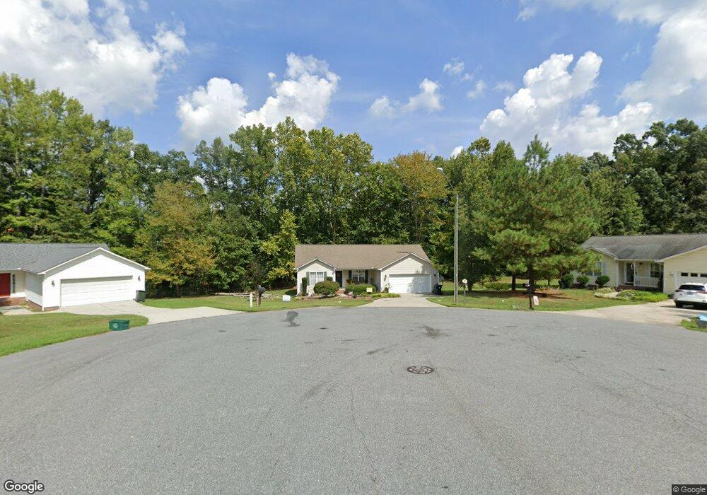
107 Cherokee Dr Thomasville, NC 27360
Estimated Value: $237,000 - $293,000
3
Beds
2
Baths
2,186
Sq Ft
$121/Sq Ft
Est. Value
About This Home
This home is located at 107 Cherokee Dr, Thomasville, NC 27360 and is currently estimated at $264,226, approximately $120 per square foot. 107 Cherokee Dr is a home located in Davidson County with nearby schools including Thomasville Primary School, Liberty Drive Elementary School, and Thomasville Middle School.
Ownership History
Date
Name
Owned For
Owner Type
Purchase Details
Closed on
Jul 12, 2007
Sold by
G M W Properties Inc
Bought by
Edwards Will Junior and Edwards Evelyn Gale
Current Estimated Value
Home Financials for this Owner
Home Financials are based on the most recent Mortgage that was taken out on this home.
Original Mortgage
$92,000
Interest Rate
6.37%
Mortgage Type
Purchase Money Mortgage
Create a Home Valuation Report for This Property
The Home Valuation Report is an in-depth analysis detailing your home's value as well as a comparison with similar homes in the area
Home Values in the Area
Average Home Value in this Area
Purchase History
| Date | Buyer | Sale Price | Title Company |
|---|---|---|---|
| Edwards Will Junior | $139,000 | None Available |
Source: Public Records
Mortgage History
| Date | Status | Borrower | Loan Amount |
|---|---|---|---|
| Closed | Edwards Will Junior | $92,000 |
Source: Public Records
Tax History Compared to Growth
Tax History
| Year | Tax Paid | Tax Assessment Tax Assessment Total Assessment is a certain percentage of the fair market value that is determined by local assessors to be the total taxable value of land and additions on the property. | Land | Improvement |
|---|---|---|---|---|
| 2025 | $2,007 | $150,340 | $0 | $0 |
| 2024 | $2,007 | $150,340 | $0 | $0 |
| 2023 | $2,037 | $150,340 | $0 | $0 |
| 2022 | $2,007 | $150,340 | $0 | $0 |
| 2021 | $2,014 | $150,340 | $0 | $0 |
| 2020 | $1,803 | $137,090 | $0 | $0 |
| 2019 | $1,837 | $137,090 | $0 | $0 |
| 2018 | $1,837 | $137,090 | $0 | $0 |
| 2017 | $1,810 | $137,090 | $0 | $0 |
| 2016 | $1,755 | $137,090 | $0 | $0 |
| 2015 | $1,755 | $137,090 | $0 | $0 |
| 2014 | $1,796 | $140,330 | $0 | $0 |
Source: Public Records
Map
Nearby Homes
- 223 S Westwood Ave
- 0 Smith Dr
- 1 Westwood Ave
- 122 S Old Fisher Ferry Rd
- 307 Fisher Ferry St
- 25 Cedar Lodge Rd
- 296 Fairgrove Rd
- 6 Curtis Ct
- 708 Ferndale Dr
- 715 Dillon St
- 300 Willowbrook Dr
- 14 Welloski Dr
- 106 Kincemac Dr
- 217 Moon St
- 259 S Old Raleigh Rd
- 2619 N Carolina 109
- 512 Concord St
- 902 Liberty Dr
- GALEN Plan at Aspen Place
- TAYLOR Plan at Aspen Place
- 104 Cherokee Dr
- 105 Cherokee Dr
- 102 Cherokee Dr
- 103 Cherokee Dr
- 101 Cherokee Dr
- 100 Cherokee Dr
- 0 Cherokee Dr
- 404 Hillcrest Cir
- 408 Hillcrest Cir
- 410 Hillcrest Cir
- 1105 Ferndale Dr
- 1203 Ferndale Dr
- 1103 Ferndale Dr
- 416 Hillcrest Cir
- 1101 Ferndale Dr
- 420 Hillcrest Cir
- 405 Hillcrest Cir
- 401 Hillcrest Cir
- 1202 Ferndale Dr
- 1200 Ferndale Dr