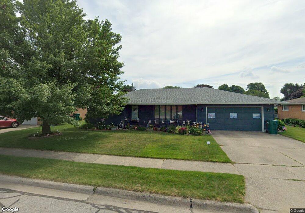
107 David Ct La Porte, IN 46350
Estimated Value: $238,000 - $250,000
3
Beds
2
Baths
1,516
Sq Ft
$159/Sq Ft
Est. Value
About This Home
This home is located at 107 David Ct, La Porte, IN 46350 and is currently estimated at $241,497, approximately $159 per square foot. 107 David Ct is a home located in LaPorte County with nearby schools including Hailmann Elementary School, La Porte High School, and Kesling Intermediate School.
Ownership History
Date
Name
Owned For
Owner Type
Purchase Details
Closed on
May 15, 2008
Sold by
Boardman Ronald G and Boardman Marilyn L
Bought by
Keller Judith A and Keller Jennifer S
Current Estimated Value
Home Financials for this Owner
Home Financials are based on the most recent Mortgage that was taken out on this home.
Original Mortgage
$135,326
Outstanding Balance
$85,925
Interest Rate
5.93%
Mortgage Type
Purchase Money Mortgage
Estimated Equity
$155,572
Create a Home Valuation Report for This Property
The Home Valuation Report is an in-depth analysis detailing your home's value as well as a comparison with similar homes in the area
Home Values in the Area
Average Home Value in this Area
Purchase History
| Date | Buyer | Sale Price | Title Company |
|---|---|---|---|
| Keller Judith A | -- | Meridian Title Corp |
Source: Public Records
Mortgage History
| Date | Status | Borrower | Loan Amount |
|---|---|---|---|
| Open | Keller Judith A | $135,326 |
Source: Public Records
Tax History Compared to Growth
Tax History
| Year | Tax Paid | Tax Assessment Tax Assessment Total Assessment is a certain percentage of the fair market value that is determined by local assessors to be the total taxable value of land and additions on the property. | Land | Improvement |
|---|---|---|---|---|
| 2024 | $1,651 | $184,800 | $26,700 | $158,100 |
| 2023 | $1,572 | $145,700 | $18,000 | $127,700 |
| 2022 | $1,588 | $151,400 | $18,000 | $133,400 |
| 2021 | $1,461 | $139,700 | $18,000 | $121,700 |
| 2020 | $1,395 | $139,700 | $18,000 | $121,700 |
| 2019 | $1,383 | $126,000 | $21,400 | $104,600 |
| 2018 | $1,263 | $114,500 | $15,400 | $99,100 |
| 2017 | $1,237 | $115,600 | $15,400 | $100,200 |
| 2016 | $1,251 | $111,600 | $13,400 | $98,200 |
| 2014 | $1,110 | $110,000 | $13,400 | $96,600 |
Source: Public Records
Map
Nearby Homes
- 0 E Jefferson Ave
- 916 Ohio St
- 907 Division St
- 810 Virginia Ave
- 807 Division St
- 205 Lawrence St
- 414 Allen St
- 208 Norton St
- 602 Plain St
- 330 Virginia Ave
- 717 E Lincolnway
- 1401 Rumely St
- 117 Evergreen Dr
- 206 Ohio St
- 503 Grove St
- 1168 Indiana 4
- 403 Rose St
- 0 Brighton St Unit NRA542345
- 710 John St
- 2010 Monroe St
- 109 David Ct
- 105 David Ct
- 815 Eagle Flight Ln
- 785 Eagle Flight Ln
- 775 Eagle Flight Ln
- 751 Eagle Flight Ln
- 786 Eagle Flight Ln
- 752 Eagle Flight Ln
- 786 Eagle Flight Ln
- 752 Eagle Flight Ln
- 786 Eagle Flight Ln
- 786 Eagle Flight Ln
- 900 Leonard Ct
- 904 Leonard Ct
- 812 Leonard Ct
- 111 David Ct
- 108 David Ct
- 103 David Ct
- 110 David Ct
- 106 David Ct