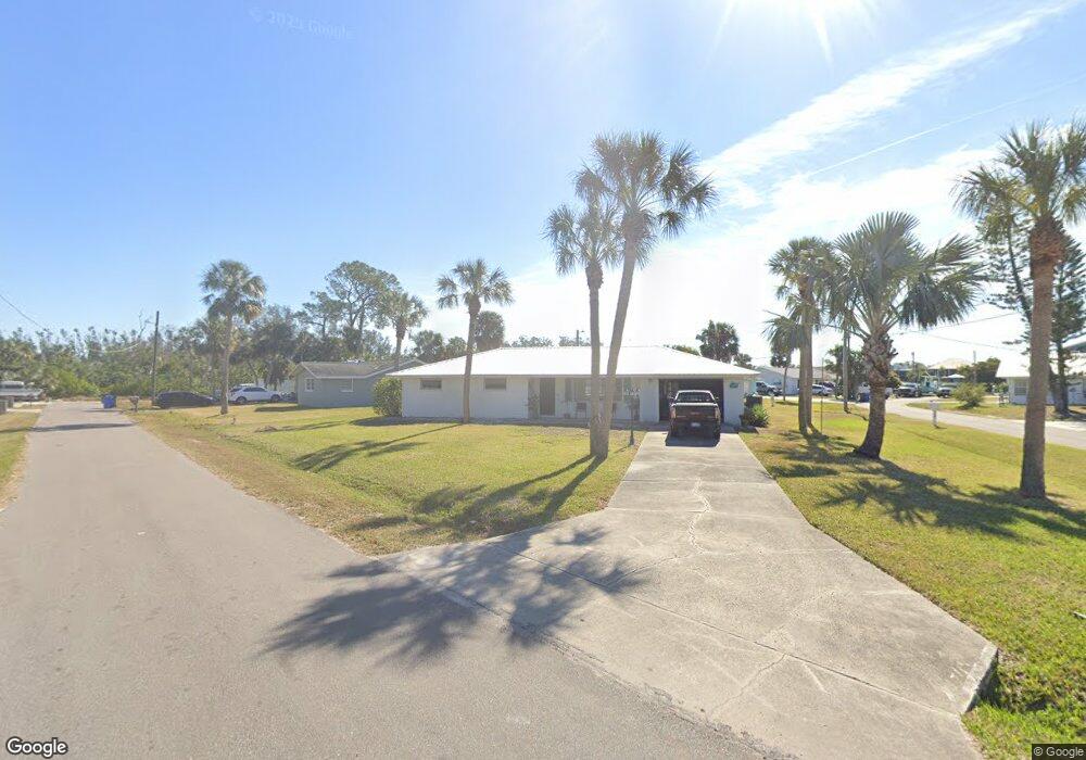
107 E North Branch Rd Ruskin, FL 33570
Estimated Value: $272,000 - $414,000
3
Beds
2
Baths
1,415
Sq Ft
$228/Sq Ft
Est. Value
About This Home
This home is located at 107 E North Branch Rd, Ruskin, FL 33570 and is currently estimated at $323,289, approximately $228 per square foot. 107 E North Branch Rd is a home located in Hillsborough County with nearby schools including Thompson Elementary School, Shields Middle School, and Lennard High School.
Ownership History
Date
Name
Owned For
Owner Type
Purchase Details
Closed on
Jun 20, 2018
Sold by
Holmes Frances E
Bought by
Brown Francine and Brown Rick A
Current Estimated Value
Home Financials for this Owner
Home Financials are based on the most recent Mortgage that was taken out on this home.
Original Mortgage
$120,000
Outstanding Balance
$71,963
Interest Rate
4.5%
Mortgage Type
New Conventional
Estimated Equity
$251,326
Purchase Details
Closed on
Sep 21, 1994
Sold by
Holmes Roger G and Holmes Frances E
Bought by
Holmes Roger G
Create a Home Valuation Report for This Property
The Home Valuation Report is an in-depth analysis detailing your home's value as well as a comparison with similar homes in the area
Home Values in the Area
Average Home Value in this Area
Purchase History
| Date | Buyer | Sale Price | Title Company |
|---|---|---|---|
| Brown Francine | $150,000 | First American Title Insuran | |
| Holmes Roger G | $11,500 | -- |
Source: Public Records
Mortgage History
| Date | Status | Borrower | Loan Amount |
|---|---|---|---|
| Open | Brown Francine | $120,000 |
Source: Public Records
Tax History Compared to Growth
Tax History
| Year | Tax Paid | Tax Assessment Tax Assessment Total Assessment is a certain percentage of the fair market value that is determined by local assessors to be the total taxable value of land and additions on the property. | Land | Improvement |
|---|---|---|---|---|
| 2024 | $4,885 | $263,630 | $80,285 | $183,345 |
| 2023 | $4,508 | $245,848 | $70,135 | $175,713 |
| 2022 | $4,115 | $237,871 | $63,168 | $174,703 |
| 2021 | $3,694 | $188,292 | $41,568 | $146,724 |
| 2020 | $3,325 | $165,685 | $38,477 | $127,208 |
| 2019 | $3,176 | $158,871 | $36,356 | $122,515 |
| 2018 | $2,808 | $148,286 | $0 | $0 |
| 2017 | $2,507 | $121,096 | $0 | $0 |
| 2016 | $1,065 | $84,894 | $0 | $0 |
| 2015 | $1,075 | $84,304 | $0 | $0 |
| 2014 | $1,051 | $83,635 | $0 | $0 |
| 2013 | -- | $82,399 | $0 | $0 |
Source: Public Records
Map
Nearby Homes
- 119 18th St NW
- 106 W North Branch Rd
- 105 E North Branch Rd
- 102 W North Branch Rd
- 138 19th St NW
- 140 19th St NW
- 1800 Kofresi Ct
- 133 Trouve Ln
- 150 19th St NW
- 100 18th St NW
- 1603 W Shell Point Rd
- 304 14th St SW
- 2312 W Shell Point Rd
- 1761 Bonita Bluff Ct
- 105 12th St SW
- 0 Sable Cove Unit MFRTB8439435
- 526 19th St NW
- 426 Stone Briar Dr
- 427 Stone Briar Dr
- 1112 W Shell Point Rd Unit 207
- 1607 Middle Branch Rd
- 112 E North Branch Rd
- 201 17th St NW
- 1608 Middle Branch Rd
- 103 E North Branch Rd
- 104 E North Branch Rd
- 203 17th St NW
- 107 W North Branch Rd
- 112 W North Branch Rd
- 110 W North Branch Rd
- 101 E North Branch Rd
- 204 17th St NW
- 204 17th St NW Unit A
- 209 17th St NW
- 108 W North Branch Rd
- 102 E North Branch Rd
- 101 W North Branch Rd
- 208 15th St NW
- 208 17th St NW Unit A