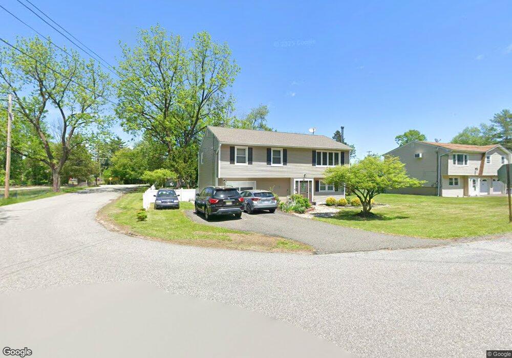
107 Forest Rd Andover, NJ 07821
Estimated Value: $404,490 - $515,000
Studio
--
Bath
1,556
Sq Ft
$295/Sq Ft
Est. Value
About This Home
This home is located at 107 Forest Rd, Andover, NJ 07821 and is currently estimated at $458,623, approximately $294 per square foot. 107 Forest Rd is a home located in Sussex County with nearby schools including Green Hills School and Tranquility Adventist School.
Ownership History
Date
Name
Owned For
Owner Type
Purchase Details
Closed on
Aug 4, 2004
Sold by
Adams Robert C and Adams Lynn P
Bought by
Mones Joel A and Mones Shirley
Current Estimated Value
Home Financials for this Owner
Home Financials are based on the most recent Mortgage that was taken out on this home.
Original Mortgage
$212,000
Outstanding Balance
$102,466
Interest Rate
5.62%
Mortgage Type
Purchase Money Mortgage
Estimated Equity
$356,157
Purchase Details
Closed on
Mar 17, 1995
Sold by
Mueller Chris J and Mueller Kyoko
Bought by
Adams Robert C and Adams Lynn P
Create a Home Valuation Report for This Property
The Home Valuation Report is an in-depth analysis detailing your home's value as well as a comparison with similar homes in the area
Home Values in the Area
Average Home Value in this Area
Purchase History
| Date | Buyer | Sale Price | Title Company |
|---|---|---|---|
| Mones Joel A | $265,000 | Commonwealth Land Title Ins | |
| Adams Robert C | $138,000 | -- |
Source: Public Records
Mortgage History
| Date | Status | Borrower | Loan Amount |
|---|---|---|---|
| Open | Mones Joel A | $212,000 |
Source: Public Records
Tax History
| Year | Tax Paid | Tax Assessment Tax Assessment Total Assessment is a certain percentage of the fair market value that is determined by local assessors to be the total taxable value of land and additions on the property. | Land | Improvement |
|---|---|---|---|---|
| 2025 | $6,854 | $356,900 | $152,000 | $204,900 |
| 2024 | $6,805 | $176,100 | $78,400 | $97,700 |
Source: Public Records
Map
Nearby Homes
- 95 Forest Rd
- 30 Scenic Dr
- 4 Spruce Dr
- 0 Decker Pond Airport Rd Unit 3945534
- 88 Kennedy Rd
- 10 Sunny Ln
- 52 Whitehall Rd
- 37 Pequest Rd
- 70 S Shore Rd
- 30 MacKerley Rd
- 203 Johnsonburg Rd
- 6 Jans Way
- 8 Cub Lake Rd
- 10 Rushmore Ln
- 14 Golden Crowned Kinglet Unit 7
- 5 Rushmore Ln
- 43 Rushmore Ln
- 17 Rushmore Ln
- 17 High St
- 127 Osprey Unit 2
Your Personal Tour Guide
Ask me questions while you tour the home.