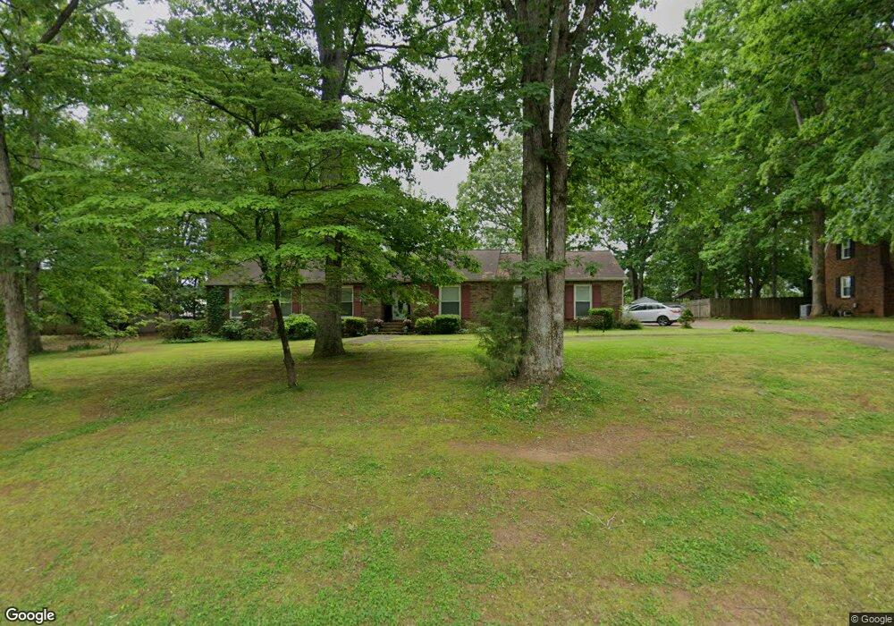
107 Hastings Rd Athens, AL 35613
Estimated Value: $307,000 - $391,000
--
Bed
--
Bath
2,481
Sq Ft
$140/Sq Ft
Est. Value
About This Home
This home is located at 107 Hastings Rd, Athens, AL 35613 and is currently estimated at $348,288, approximately $140 per square foot. 107 Hastings Rd is a home with nearby schools including Julian Newman Elementary School, Athens Intermediate School, and Athens Middle School.
Ownership History
Date
Name
Owned For
Owner Type
Purchase Details
Closed on
Dec 14, 2005
Sold by
Lindsay Lane Baptist Church
Bought by
Stockbridge Jonathan W and Stockbridge Leslie
Current Estimated Value
Home Financials for this Owner
Home Financials are based on the most recent Mortgage that was taken out on this home.
Original Mortgage
$100,000
Outstanding Balance
$55,618
Interest Rate
6.19%
Estimated Equity
$292,670
Purchase Details
Closed on
Mar 7, 2005
Sold by
Ogles Michael R and Lindsay Lane Baptist Church I
Bought by
Lindsay Lane Baptist Church Inc
Create a Home Valuation Report for This Property
The Home Valuation Report is an in-depth analysis detailing your home's value as well as a comparison with similar homes in the area
Home Values in the Area
Average Home Value in this Area
Purchase History
| Date | Buyer | Sale Price | Title Company |
|---|---|---|---|
| Stockbridge Jonathan W | -- | -- | |
| Lindsay Lane Baptist Church Inc | -- | -- |
Source: Public Records
Mortgage History
| Date | Status | Borrower | Loan Amount |
|---|---|---|---|
| Open | Stockbridge Jonathan W | $100,000 |
Source: Public Records
Tax History Compared to Growth
Tax History
| Year | Tax Paid | Tax Assessment Tax Assessment Total Assessment is a certain percentage of the fair market value that is determined by local assessors to be the total taxable value of land and additions on the property. | Land | Improvement |
|---|---|---|---|---|
| 2024 | $1,095 | $32,560 | $0 | $0 |
| 2023 | $1,064 | $31,120 | $0 | $0 |
| 2022 | $871 | $26,800 | $0 | $0 |
| 2021 | $786 | $24,280 | $0 | $0 |
| 2020 | $858 | $22,780 | $0 | $0 |
| 2019 | $823 | $21,900 | $0 | $0 |
| 2018 | $825 | $21,960 | $0 | $0 |
| 2017 | $825 | $21,960 | $0 | $0 |
| 2016 | $825 | $219,570 | $0 | $0 |
| 2015 | $825 | $21,960 | $0 | $0 |
| 2014 | $810 | $0 | $0 | $0 |
Source: Public Records
Map
Nearby Homes
- 627 Summit Lakes Dr
- 108 Summit Lakes Dr
- 22135 Pepper Rd
- 121 Ozy Dr
- 22160 Hood St
- 341 Summit Lakes Dr
- 174 Summit Lakes Dr
- 22078 Saratoga Dr
- The Longleaf Plan at Summit Lakes South
- The Ash Plan at Summit Lakes South
- 336 Summit Lakes Dr
- 190 Summit Lakes Dr
- 21899 Williamsburg Dr
- 22236 Merlot Dr
- 31 Summit Dr
- 21255 Scuttle St
- 21267 Scuttle St
- 21239 Scuttle St
- 21254 Scuttle St
- 21246 Scuttle St
- 109 Hastings Rd
- 106 Hastings Rd
- 111 Hastings Rd
- 103 Hastings Rd
- 108 Hastings Rd
- 102 Hastings Rd
- 110 Hastings Rd
- 101 Hastings Rd
- 100 Hastings Rd
- 107 Yorkshire Dr
- 103 Yorkshire Dr
- 112 Hastings Rd
- 1300 Lindsay Ln S
- 115 Hastings Rd
- 109 Yorkshire Dr
- 101 Yorkshire Dr
- 107 Wellington Rd
- 102 Yorkshire Dr
- 504 Wellington Rd
- 24 Yorkshire Dr