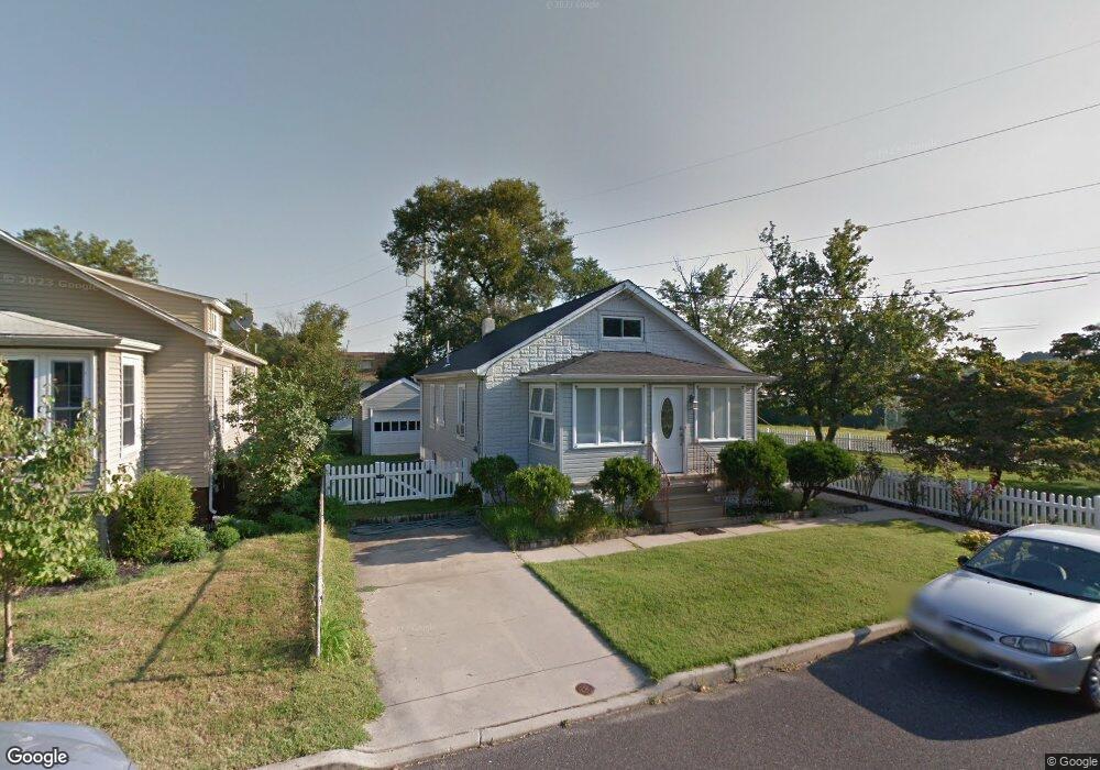
107 High St Glendora, NJ 08029
Estimated Value: $237,119 - $305,000
--
Bed
--
Bath
975
Sq Ft
$283/Sq Ft
Est. Value
About This Home
This home is located at 107 High St, Glendora, NJ 08029 and is currently estimated at $276,280, approximately $283 per square foot. 107 High St is a home located in Camden County with nearby schools including Glen Landing Middle School, Triton High School, and St. Teresa Regional School.
Ownership History
Date
Name
Owned For
Owner Type
Purchase Details
Closed on
Dec 2, 2014
Sold by
Crispin Gary M and Crispin Edith M
Bought by
Crispin Gary M
Current Estimated Value
Home Financials for this Owner
Home Financials are based on the most recent Mortgage that was taken out on this home.
Original Mortgage
$129,762
Interest Rate
3.5%
Mortgage Type
FHA
Create a Home Valuation Report for This Property
The Home Valuation Report is an in-depth analysis detailing your home's value as well as a comparison with similar homes in the area
Home Values in the Area
Average Home Value in this Area
Purchase History
| Date | Buyer | Sale Price | Title Company |
|---|---|---|---|
| Crispin Gary M | -- | None Available |
Source: Public Records
Mortgage History
| Date | Status | Borrower | Loan Amount |
|---|---|---|---|
| Closed | Crispin Gary M | $129,762 |
Source: Public Records
Tax History Compared to Growth
Tax History
| Year | Tax Paid | Tax Assessment Tax Assessment Total Assessment is a certain percentage of the fair market value that is determined by local assessors to be the total taxable value of land and additions on the property. | Land | Improvement |
|---|---|---|---|---|
| 2025 | $6,369 | $150,700 | $57,800 | $92,900 |
| 2024 | $6,156 | $150,700 | $57,800 | $92,900 |
| 2023 | $6,156 | $150,700 | $57,800 | $92,900 |
| 2022 | $6,123 | $150,700 | $57,800 | $92,900 |
| 2021 | $5,995 | $150,700 | $57,800 | $92,900 |
| 2020 | $5,999 | $150,700 | $57,800 | $92,900 |
| 2019 | $5,867 | $150,700 | $57,800 | $92,900 |
| 2018 | $5,841 | $150,700 | $57,800 | $92,900 |
| 2017 | $6,806 | $150,700 | $57,800 | $92,900 |
| 2016 | $5,528 | $150,700 | $57,800 | $92,900 |
| 2015 | $5,131 | $150,700 | $57,800 | $92,900 |
| 2014 | $5,101 | $150,700 | $57,800 | $92,900 |
Source: Public Records
Map
Nearby Homes
- 30 12th Ave
- 14 E Evesham Rd
- 1100 Central Ave
- 47 Whaler Dr
- 45 Whaler Ave
- 43 Whaler Ave
- 41 Whaler Ave
- 37 Whaler Ave
- 810 Central Ave
- 230 E Evesham Rd Unit B-1
- 516 Huntington Ave
- 200 E 9th Ave
- 21 S Oakland Ave
- 263 Chestnut St
- 525 W Evesham Rd
- 32 Lake Ave
- 200 Knight Ave
- 104 Lake Ave
- 217 3rd Ave
- 330 Price Ave
- 109 High St
- 1111 Main St
- 1105 Huntington Ave
- 1107 Huntington Ave
- 1119 Huntington Ave
- 1019 Huntington Ave
- 205 High St
- 1115 N Black Horse Pike
- 1013 Main St
- 208 High St
- 204 High St
- 212 High St
- 211 High St
- 1009 Huntington Ave
- 1132 Oak Ave
- 115 Bozarth Ave
- 119 Bozarth Ave
- 109 Bozarth Ave
- 217 High St
- 101 Bozarth Ave