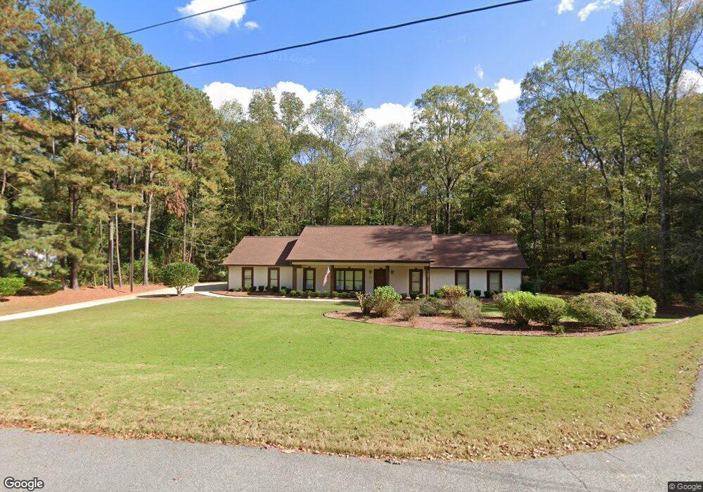
107 Independence Ct Lagrange, GA 30240
Estimated Value: $295,836 - $333,000
4
Beds
2
Baths
2,147
Sq Ft
$149/Sq Ft
Est. Value
About This Home
This home is located at 107 Independence Ct, Lagrange, GA 30240 and is currently estimated at $320,209, approximately $149 per square foot. 107 Independence Ct is a home located in Troup County with nearby schools including Long Cane Elementary School, Berta Weathersbee Elementary School, and Whitesville Road Elementary School.
Ownership History
Date
Name
Owned For
Owner Type
Purchase Details
Closed on
May 5, 2006
Sold by
Bell Shriley
Bought by
Lustri James C
Current Estimated Value
Purchase Details
Closed on
Aug 20, 1999
Sold by
Donald C Bell
Bought by
Bell Shirley
Purchase Details
Closed on
Oct 5, 1998
Sold by
Clifton Steve Looney Etal
Bought by
Donald C Bell
Purchase Details
Closed on
Apr 26, 1996
Sold by
Timothy P Cherry
Bought by
Clifton Steve Looney Etal
Purchase Details
Closed on
Apr 26, 1991
Sold by
Dan-Ric
Bought by
Timothy P Cherry
Purchase Details
Closed on
Jun 1, 1986
Bought by
Dan-Ric
Create a Home Valuation Report for This Property
The Home Valuation Report is an in-depth analysis detailing your home's value as well as a comparison with similar homes in the area
Purchase History
| Date | Buyer | Sale Price | Title Company |
|---|---|---|---|
| Lustri James C | $165,500 | -- | |
| Bell Shirley | -- | -- | |
| Donald C Bell | $135,500 | -- | |
| Clifton Steve Looney Etal | $127,500 | -- | |
| Timothy P Cherry | $38,800 | -- | |
| Dan-Ric | $124,500 | -- |
Source: Public Records
Tax History
| Year | Tax Paid | Tax Assessment Tax Assessment Total Assessment is a certain percentage of the fair market value that is determined by local assessors to be the total taxable value of land and additions on the property. | Land | Improvement |
|---|---|---|---|---|
| 2025 | -- | $109,400 | $14,000 | $95,400 |
| 2024 | -- | $89,640 | $14,000 | $75,640 |
| 2023 | $0 | $89,320 | $14,000 | $75,320 |
| 2022 | $2,237 | $80,160 | $10,000 | $70,160 |
| 2021 | $2,122 | $70,360 | $10,000 | $60,360 |
| 2020 | $2,122 | $70,360 | $10,000 | $60,360 |
| 2019 | $2,109 | $69,920 | $8,000 | $61,920 |
| 2018 | $0 | $66,800 | $8,000 | $58,800 |
| 2017 | $2,015 | $66,800 | $8,000 | $58,800 |
| 2016 | -- | $57,086 | $8,000 | $49,086 |
| 2015 | -- | $57,086 | $8,000 | $49,086 |
| 2014 | -- | $54,359 | $8,000 | $46,359 |
| 2013 | -- | $56,874 | $8,000 | $48,874 |
Source: Public Records
Map
Nearby Homes
- 119 Plymouth Dr
- 311 Cumberland Dr
- 113 Colonial Ct Unit 100
- 124 Lincoln Ln
- 101 Ivy Springs Dr
- 474 Newton Rd
- 40 River Point Dr
- 640 Hudson Rd
- 266 Glass Bridge Rd
- 104 Hidden Springs Dr
- 135 Planters Ridge Dr
- 112 Foxdale Dr
- 104 Bridlewood Dr
- 124 Foxdale Dr
- 106 Landings Way
- 104 Landings Way
- 0 Glass Bridge Rd Unit 10679358
- 102 Landings Way
- 101 Riverbluff Dr
- 201 Lakeview Ct
- 105 Independence Ct
- 112 Franklin Place
- 109 Independence Ct
- 102 Independence Ct
- 114 Franklin Place
- 103 Independence Ct
- 104 Independence Ct
- 110 Franklin Place
- 116 Franklin Place Unit 166
- 116 Franklin Place
- 114 Plymouth Dr
- 112 Plymouth Dr
- 101 Independence Ct
- 176 Courtney Dr
- 101 Franklin Place
- 110 Madison Place
- 191 Courtney Dr Unit 15&16
- 191 Courtney Dr
- 110 Plymouth Dr
- 104 Madison Place
Your Personal Tour Guide
Ask me questions while you tour the home.