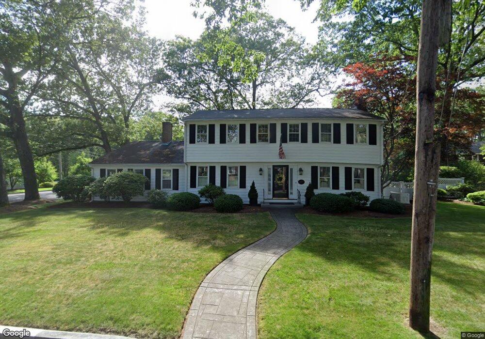
107 King Philip Rd Pawtucket, RI 02861
Darlington NeighborhoodEstimated Value: $599,000 - $708,000
4
Beds
3
Baths
2,246
Sq Ft
$289/Sq Ft
Est. Value
About This Home
This home is located at 107 King Philip Rd, Pawtucket, RI 02861 and is currently estimated at $648,029, approximately $288 per square foot. 107 King Philip Rd is a home located in Providence County with nearby schools including St Cecilia School and Saint Teresa Catholic Elementary School.
Ownership History
Date
Name
Owned For
Owner Type
Purchase Details
Closed on
Jun 18, 2024
Sold by
Enright John L and Enright K D
Bought by
Enright Ft and Enright
Current Estimated Value
Purchase Details
Closed on
Apr 3, 2001
Sold by
Douglas James N and Douglas Jean M
Bought by
Enright John L and Karen Enright D
Home Financials for this Owner
Home Financials are based on the most recent Mortgage that was taken out on this home.
Original Mortgage
$208,000
Interest Rate
6.96%
Create a Home Valuation Report for This Property
The Home Valuation Report is an in-depth analysis detailing your home's value as well as a comparison with similar homes in the area
Home Values in the Area
Average Home Value in this Area
Purchase History
| Date | Buyer | Sale Price | Title Company |
|---|---|---|---|
| Enright Ft | -- | None Available | |
| Enright Ft | -- | None Available | |
| Enright John L | $265,000 | -- | |
| Enright John L | $265,000 | -- |
Source: Public Records
Mortgage History
| Date | Status | Borrower | Loan Amount |
|---|---|---|---|
| Previous Owner | Enright John L | $50,000 | |
| Previous Owner | Enright John L | $202,000 | |
| Previous Owner | Enright John L | $208,000 |
Source: Public Records
Tax History
| Year | Tax Paid | Tax Assessment Tax Assessment Total Assessment is a certain percentage of the fair market value that is determined by local assessors to be the total taxable value of land and additions on the property. | Land | Improvement |
|---|---|---|---|---|
| 2025 | $6,061 | $460,900 | $156,100 | $304,800 |
| 2024 | $5,688 | $460,900 | $156,100 | $304,800 |
| 2023 | $6,905 | $407,600 | $119,300 | $288,300 |
| 2022 | $6,758 | $407,600 | $119,300 | $288,300 |
| 2021 | $6,758 | $407,600 | $119,300 | $288,300 |
| 2020 | $6,910 | $330,800 | $111,800 | $219,000 |
| 2019 | $6,910 | $330,800 | $111,800 | $219,000 |
| 2018 | $6,659 | $330,800 | $111,800 | $219,000 |
| 2017 | $7,441 | $327,500 | $108,400 | $219,100 |
| 2016 | $7,169 | $327,500 | $108,400 | $219,100 |
| 2015 | $7,169 | $327,500 | $108,400 | $219,100 |
| 2014 | $7,490 | $324,800 | $94,800 | $230,000 |
Source: Public Records
Map
Nearby Homes
- 245 Manton St
- 242 Manton St
- 242 Manton #41 St
- 91 Seabiscuit Place
- 64 Brookdale Blvd
- 1150 Newman Ave
- 57 Whirlaway Place
- 40 Camac St
- 619 Armistice Blvd
- 400 Newport Ave
- 128 Warwick Rd
- 66 1st St
- 66 State St
- 70 Whittier Rd
- 38 Lowell Ave
- 43 Warwick Rd
- 40 Rosemere Rd
- 359 Williston Way
- 70 Manistee St
- 275 Columbus Ave
- 110 Alexander Mcgregor Rd
- 101 King Philip Rd
- 100 King Philip Rd
- 120 Alexander Mcgregor Rd
- 96 Alexander Mcgregor Rd
- 00 Narragansett Ave
- 15 Narragansett Ave
- 96 King Philip Rd
- 85 King Philip Rd
- 90 King Philip Rd
- 34 Narragansett Ave
- 10 Naushon Rd
- 10 Naushon Rd Unit 1
- 130 Alexander Mcgregor Rd
- 20 Naushon Rd
- 84 King Philip Rd
- 90 Alexander Mcgregor Rd
- 85 Anawan Rd
- 35 Narragansett Ave
- 28 Naushon Rd
Your Personal Tour Guide
Ask me questions while you tour the home.