107 Lansdowne Westport, CT 06880
Greens Farms NeighborhoodEstimated Value: $1,537,000 - $1,750,000
3
Beds
3
Baths
2,450
Sq Ft
$672/Sq Ft
Est. Value
About This Home
This home is located at 107 Lansdowne, Westport, CT 06880 and is currently estimated at $1,647,371, approximately $672 per square foot. 107 Lansdowne is a home located in Fairfield County with nearby schools including Green's Farms School, Bedford Middle School, and Staples High School.
Ownership History
Date
Name
Owned For
Owner Type
Purchase Details
Closed on
Oct 24, 2014
Sold by
Wachtel Arthur and Wachtel Phyllis
Bought by
Shwisha Haim and Shwisha Birthe
Current Estimated Value
Purchase Details
Closed on
Oct 13, 2004
Sold by
Manville Lawrence Reed and Manville Philip Brook
Bought by
Wachtel Arthur and Wachtel Phyllis
Purchase Details
Closed on
Oct 21, 2003
Sold by
Kutz Sue and Rabison Samuel
Bought by
Manville Richard
Create a Home Valuation Report for This Property
The Home Valuation Report is an in-depth analysis detailing your home's value as well as a comparison with similar homes in the area
Home Values in the Area
Average Home Value in this Area
Purchase History
| Date | Buyer | Sale Price | Title Company |
|---|---|---|---|
| Shwisha Haim | $1,050,000 | -- | |
| Shwisha Haim | $1,050,000 | -- | |
| Wachtel Arthur | $774,000 | -- | |
| Wachtel Arthur | $774,000 | -- | |
| Manville Richard | $730,000 | -- | |
| Manville Richard | $730,000 | -- |
Source: Public Records
Tax History Compared to Growth
Tax History
| Year | Tax Paid | Tax Assessment Tax Assessment Total Assessment is a certain percentage of the fair market value that is determined by local assessors to be the total taxable value of land and additions on the property. | Land | Improvement |
|---|---|---|---|---|
| 2025 | $12,402 | $657,600 | $0 | $657,600 |
| 2024 | $12,245 | $657,600 | $0 | $657,600 |
| 2023 | $12,067 | $657,600 | $0 | $657,600 |
| 2022 | $11,883 | $657,600 | $0 | $657,600 |
| 2021 | $11,883 | $657,600 | $0 | $657,600 |
| 2020 | $11,410 | $682,800 | $0 | $682,800 |
| 2019 | $11,512 | $682,800 | $0 | $682,800 |
| 2018 | $11,512 | $682,800 | $0 | $682,800 |
| 2017 | $11,512 | $682,800 | $0 | $682,800 |
| 2016 | $11,512 | $682,800 | $0 | $682,800 |
| 2015 | $9,052 | $500,400 | $0 | $500,400 |
| 2014 | $8,977 | $500,400 | $0 | $500,400 |
Source: Public Records
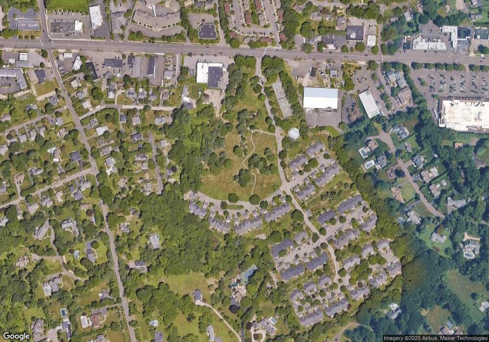
Map
Nearby Homes
- 7 High Gate Rd
- 220 Lansdowne
- 36 Maple Ave S
- 125 Old Rd
- 1 Coastal Ct
- 185 Regents Park
- 107 Old Rd
- 40 Maple Ave N
- 342 Greens Farms Rd
- 86 Maple Ave S
- 61 Clapboard Hill Rd
- 305 S Gate Ln
- 10 Debra Ln
- 944 Pequot Ave
- 1 Sturges Hwy Unit Lot 1
- 1 Sturges Hwy Unit 2
- 22 Morningside Dr S
- 20 Morningside Dr S
- 2 Elmwood Dr Unit 2
- 7 Morningside Ln
- 129 Lansdowne Unit 129
- 129 Lansdowne
- 129 Lansdowne Unit 129
- 113 Lansdowne Unit 113
- 136 Lansdowne
- 136 Lansdowne Unit 136
- 136 Lansdowne Unit 136
- 127 Lansdowne Unit 127
- 131 Lansdowne Unit 131
- 131 Lansdowne Unit 131
- 103 Lansdowne
- 103 Lansdowne
- 138 Lansdowne
- 139 Lansdowne
- 136 Lansdowne
- 103 Lansdowne
- 113 Lansdowne
- 119 Lansdowne
- 129 Lansdowne
- 125 Lansdowne