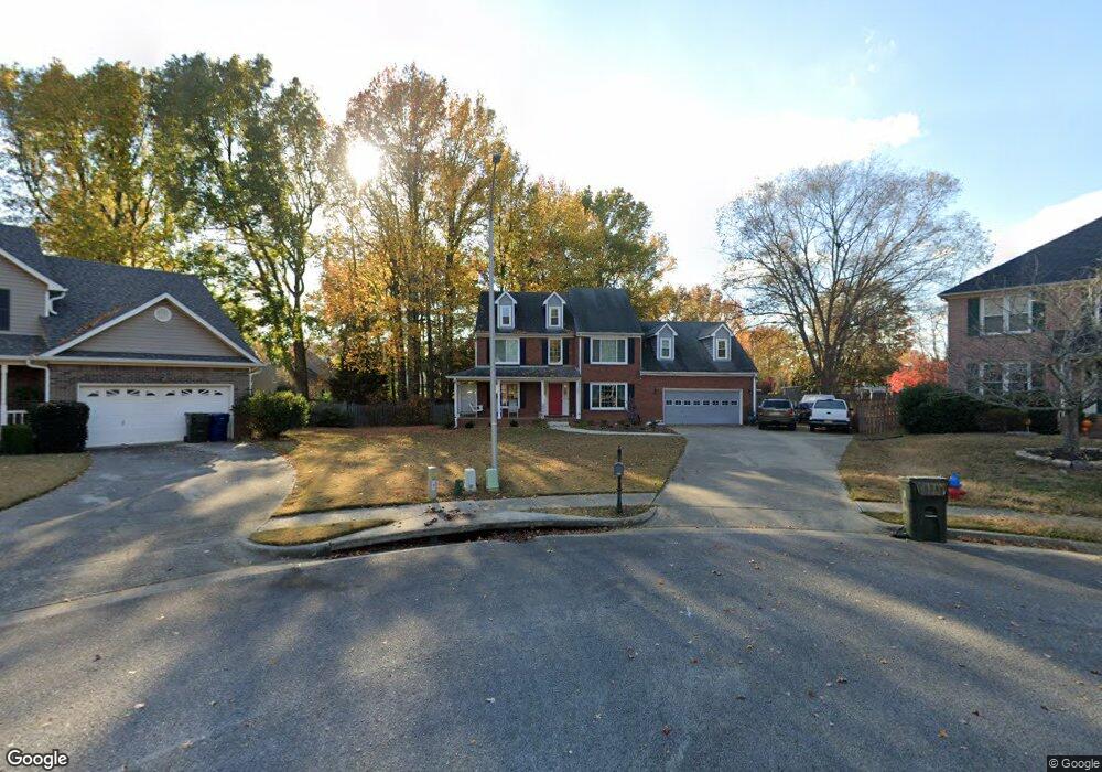
107 Leabrook Cir Madison, AL 35758
Estimated Value: $429,177 - $471,000
--
Bed
1
Bath
2,662
Sq Ft
$169/Sq Ft
Est. Value
About This Home
This home is located at 107 Leabrook Cir, Madison, AL 35758 and is currently estimated at $450,044, approximately $169 per square foot. 107 Leabrook Cir is a home with nearby schools including Rainbow Elementary School, Discovery Middle School, and Bob Jones High School.
Ownership History
Date
Name
Owned For
Owner Type
Purchase Details
Closed on
Jul 15, 2015
Sold by
Joyce Robert F and Cantrell Joyce Stacey
Bought by
Cantrell Stacey
Current Estimated Value
Purchase Details
Closed on
Apr 9, 2007
Sold by
Dodson Scott K and Dodson Sandra J
Bought by
Cantrell Joyce Stacey and Joyce Robert F
Home Financials for this Owner
Home Financials are based on the most recent Mortgage that was taken out on this home.
Original Mortgage
$199,200
Interest Rate
6.15%
Mortgage Type
New Conventional
Create a Home Valuation Report for This Property
The Home Valuation Report is an in-depth analysis detailing your home's value as well as a comparison with similar homes in the area
Home Values in the Area
Average Home Value in this Area
Purchase History
| Date | Buyer | Sale Price | Title Company |
|---|---|---|---|
| Cantrell Stacey | $13,500 | None Available | |
| Cantrell Joyce Stacey | -- | -- |
Source: Public Records
Mortgage History
| Date | Status | Borrower | Loan Amount |
|---|---|---|---|
| Previous Owner | Cantrell Joyce Stacey | $199,200 |
Source: Public Records
Tax History Compared to Growth
Tax History
| Year | Tax Paid | Tax Assessment Tax Assessment Total Assessment is a certain percentage of the fair market value that is determined by local assessors to be the total taxable value of land and additions on the property. | Land | Improvement |
|---|---|---|---|---|
| 2024 | $2,743 | $40,020 | $7,500 | $32,520 |
| 2023 | $2,743 | $38,720 | $7,500 | $31,220 |
| 2022 | $2,224 | $32,540 | $5,400 | $27,140 |
| 2021 | $1,787 | $26,260 | $2,040 | $24,220 |
| 2020 | $1,693 | $24,890 | $2,030 | $22,860 |
| 2019 | $1,339 | $23,920 | $2,030 | $21,890 |
| 2018 | $1,260 | $22,580 | $0 | $0 |
| 2017 | $1,249 | $22,380 | $0 | $0 |
| 2016 | $1,249 | $22,380 | $0 | $0 |
| 2015 | $1,249 | $22,380 | $0 | $0 |
| 2014 | $1,223 | $22,100 | $0 | $0 |
Source: Public Records
Map
Nearby Homes
- 215 Pebblebrook Dr
- 102 Appaloosa Ct
- 104 Patra Dr
- 203 Silverado Dr
- 107 Patra Dr
- 111 Lonesome Ct
- 128 Murry Dr
- 29111 Highway 72
- 108 Whitehall
- 225 Shortland Dr
- 3.44 acres Highway 72
- 4.9 Acres Highway 72
- 5190 Wall Triana Hwy
- 105 Yorkshire Dr
- 116 Lake Crest Cir
- 165 Brass Oak Dr
- 101 Mountain View Ln
- 209 Chantilly Ln
- 30633 Highway 72
- 1 Thomas Dr
- 109 Lea Brook Cir
- 105 Leabrook Cir
- 111 Leabrook Cir
- 107 Brookside Cir
- 107 Rolling Lea Place
- 105 Brookside Cir
- 113 Lea Brook Cir
- 103 Rolling Lea Place
- 115 Leabrook Cir
- 109 Brookside Cir
- 103 Brookside Cir
- 109 Rolling Lea Place
- 109 Lea Cir
- 221 Pebblebrook Dr
- 111 Rolling Lea Place
- 219 Pebble Brook Dr
- 103 Leabrook Dr
- 109 Lea Cir
- 111 Brookside Cir
- 111 Lea Cir