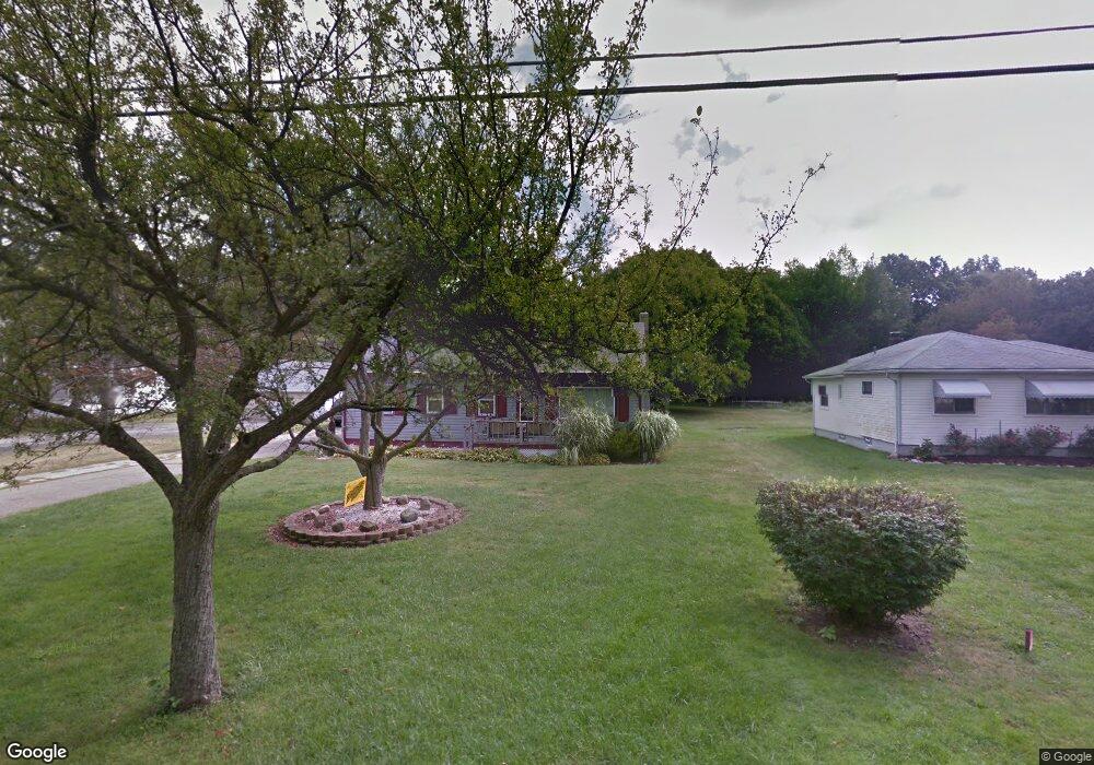
107 Lee Rd Painesville, OH 44077
Estimated Value: $205,000 - $262,000
4
Beds
1
Bath
1,239
Sq Ft
$187/Sq Ft
Est. Value
About This Home
This home is located at 107 Lee Rd, Painesville, OH 44077 and is currently estimated at $231,405, approximately $186 per square foot. 107 Lee Rd is a home located in Lake County with nearby schools including Henry F. Lamuth Middle School, Riverside Junior/Senior High School, and Summit Academy Community School - Painesville.
Ownership History
Date
Name
Owned For
Owner Type
Purchase Details
Closed on
May 24, 2016
Sold by
Rhodes John R
Bought by
Rhodes Tammy L
Current Estimated Value
Purchase Details
Closed on
May 15, 2006
Sold by
Knee Henry C and Knee Sandra L
Bought by
Rhodes John R and Rhodes Tammy L
Home Financials for this Owner
Home Financials are based on the most recent Mortgage that was taken out on this home.
Original Mortgage
$173,655
Outstanding Balance
$100,516
Interest Rate
6.39%
Mortgage Type
VA
Estimated Equity
$130,889
Purchase Details
Closed on
Apr 2, 1985
Bought by
Knee Henry C
Create a Home Valuation Report for This Property
The Home Valuation Report is an in-depth analysis detailing your home's value as well as a comparison with similar homes in the area
Home Values in the Area
Average Home Value in this Area
Purchase History
| Date | Buyer | Sale Price | Title Company |
|---|---|---|---|
| Rhodes Tammy L | -- | None Available | |
| Rhodes John R | $170,000 | Enterprise Title | |
| Knee Henry C | -- | -- |
Source: Public Records
Mortgage History
| Date | Status | Borrower | Loan Amount |
|---|---|---|---|
| Open | Rhodes John R | $173,655 |
Source: Public Records
Tax History Compared to Growth
Tax History
| Year | Tax Paid | Tax Assessment Tax Assessment Total Assessment is a certain percentage of the fair market value that is determined by local assessors to be the total taxable value of land and additions on the property. | Land | Improvement |
|---|---|---|---|---|
| 2024 | -- | $63,380 | $13,640 | $49,740 |
| 2023 | $4,438 | $40,730 | $9,900 | $30,830 |
| 2022 | $2,440 | $40,730 | $9,900 | $30,830 |
| 2021 | $2,449 | $40,730 | $9,900 | $30,830 |
| 2020 | $2,413 | $35,420 | $8,610 | $26,810 |
| 2019 | $2,431 | $35,420 | $8,610 | $26,810 |
| 2018 | $2,438 | $35,890 | $7,920 | $27,970 |
| 2017 | $2,543 | $35,890 | $7,920 | $27,970 |
| 2016 | $2,245 | $35,890 | $7,920 | $27,970 |
| 2015 | $2,057 | $35,890 | $7,920 | $27,970 |
| 2014 | $2,091 | $35,890 | $7,920 | $27,970 |
| 2013 | $2,043 | $35,890 | $7,920 | $27,970 |
Source: Public Records
Map
Nearby Homes
- 0 N Ridge Rd Unit 5110949
- 1787 Muirfield Ln
- 269 Hale Rd
- 1598 Bogie Ln
- 389 Sand Trap Cir
- 108 Birch Dr
- 500 Park Rd
- 399 Sandtrap Cir
- 547 Greenside Dr
- 1865 Marsh Ln Unit 1865
- 499 Sand Trap Cir
- 1791 Muirfield Ln
- 808 N Creek Dr
- 1806 Muirfield Ln
- 525 Morgan Dr
- 396 Park Rd
- 1978 Marsh Ln Unit 1978
- 712 N Creek Dr
- 720 N Creek Dr
- V/L Morgan Dr