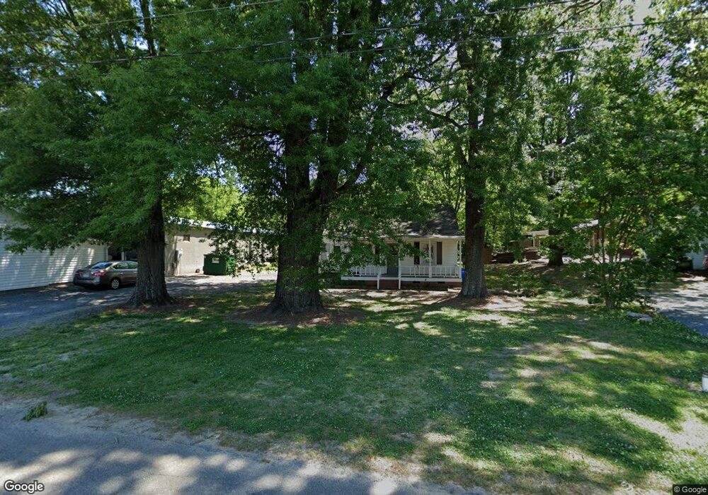
107 Locust Ave Locust, NC 28097
2
Beds
1
Bath
840
Sq Ft
14,375
Sq Ft
About This Home
This home is located at 107 Locust Ave, Locust, NC 28097. 107 Locust Ave is a home located in Stanly County with nearby schools including Locust Elementary School, West Stanly Middle School, and West Stanly High School.
Create a Home Valuation Report for This Property
The Home Valuation Report is an in-depth analysis detailing your home's value as well as a comparison with similar homes in the area
Home Values in the Area
Average Home Value in this Area
Tax History
| Year | Tax Paid | Tax Assessment Tax Assessment Total Assessment is a certain percentage of the fair market value that is determined by local assessors to be the total taxable value of land and additions on the property. | Land | Improvement |
|---|---|---|---|---|
| 2024 | $864 | $79,278 | $16,087 | $63,191 |
| 2023 | $984 | $79,278 | $16,087 | $63,191 |
| 2022 | $976 | $79,278 | $16,087 | $63,191 |
| 2021 | $968 | $79,278 | $16,087 | $63,191 |
| 2020 | $711 | $52,928 | $14,107 | $38,821 |
| 2019 | $718 | $52,928 | $14,107 | $38,821 |
| 2018 | $598 | $52,928 | $14,107 | $38,821 |
| 2017 | $598 | $52,928 | $14,107 | $38,821 |
| 2016 | $516 | $45,620 | $13,117 | $32,503 |
| 2015 | $635 | $45,620 | $13,117 | $32,503 |
| 2014 | $571 | $45,620 | $13,117 | $32,503 |
Source: Public Records
Map
Nearby Homes
- 288 Harrison Ln
- 417 Kiser Ln
- 617 Ardsley Dr
- 402 Church St
- 219 Kerri Dawn Ln
- 169 Abigail Ln
- 319 N Central Ave
- 700 Elm St
- 117 Battery Dr
- 117 Danita Dr
- 166 Battery Dr
- 240 Ella Dr
- 708 Redah Ave
- 206 Delancy St
- 213 Delancy St
- 106 Marlwood Dr
- 211 Amber Glen Dr
- 142 Flame Azalea Ct
- 230 Battery Dr
- 201 N Beverly Dr
Your Personal Tour Guide
Ask me questions while you tour the home.