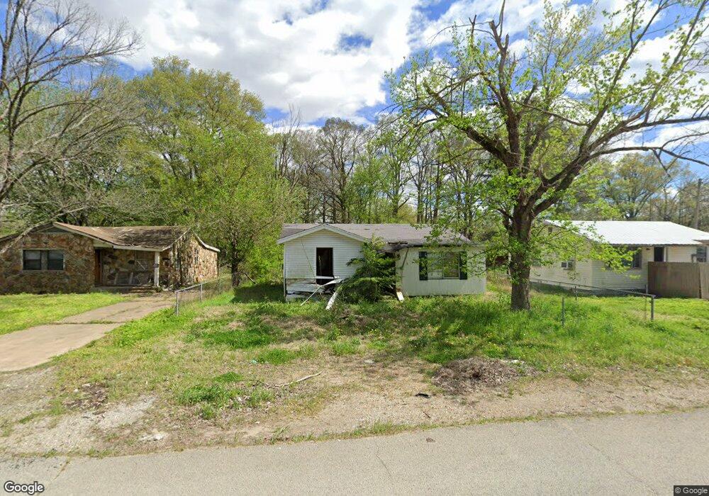
107 Logan St Newport, AR 72112
Estimated Value: $53,124 - $122,000
--
Bed
1
Bath
736
Sq Ft
$113/Sq Ft
Est. Value
About This Home
This home is located at 107 Logan St, Newport, AR 72112 and is currently estimated at $83,281, approximately $113 per square foot. 107 Logan St is a home located in Jackson County with nearby schools including Newport Elementary School and Newport High School.
Ownership History
Date
Name
Owned For
Owner Type
Purchase Details
Closed on
Feb 2, 2022
Sold by
Commissioner Of State Lands
Bought by
Whybrew Rhonda and Whybrew Harold
Current Estimated Value
Purchase Details
Closed on
Aug 21, 2020
Sold by
Whybrew Rhonda and Campbell Iwana
Bought by
Whybrew Dr Rhonda and Campbell Benika L
Purchase Details
Closed on
Jul 30, 2009
Bought by
Campbeli Iwana
Purchase Details
Closed on
Jan 22, 2008
Bought by
Whybrew Rhonda E
Purchase Details
Closed on
Apr 1, 1994
Bought by
Pigg Iwana Campbell
Create a Home Valuation Report for This Property
The Home Valuation Report is an in-depth analysis detailing your home's value as well as a comparison with similar homes in the area
Home Values in the Area
Average Home Value in this Area
Purchase History
| Date | Buyer | Sale Price | Title Company |
|---|---|---|---|
| Whybrew Rhonda | $426 | None Listed On Document | |
| Whybrew Dr Rhonda | -- | None Available | |
| Campbeli Iwana | -- | -- | |
| Whybrew Rhonda E | -- | -- | |
| Pigg Iwana Campbell | -- | -- |
Source: Public Records
Tax History Compared to Growth
Tax History
| Year | Tax Paid | Tax Assessment Tax Assessment Total Assessment is a certain percentage of the fair market value that is determined by local assessors to be the total taxable value of land and additions on the property. | Land | Improvement |
|---|---|---|---|---|
| 2024 | $114 | $4,800 | $600 | $4,200 |
| 2023 | $104 | $2,000 | $200 | $1,800 |
| 2022 | $112 | $2,000 | $200 | $1,800 |
| 2021 | $110 | $2,000 | $200 | $1,800 |
| 2020 | $110 | $2,000 | $200 | $1,800 |
| 2019 | $110 | $2,000 | $200 | $1,800 |
| 2018 | $105 | $2,050 | $1,000 | $1,050 |
| 2017 | $105 | $2,050 | $1,000 | $1,050 |
| 2015 | -- | $2,050 | $1,000 | $1,050 |
| 2014 | -- | $2,013 | $783 | $1,230 |
| 2013 | -- | $1,830 | $400 | $1,430 |
| 2012 | -- | $1,830 | $400 | $1,430 |
Source: Public Records
Map
Nearby Homes
- 604 Mclain St
- 721 Mclain St
- 623 Holden Ave
- 900 Josephine St
- 900 Dill St
- 208 Forrest Dr
- 910 & 914 Dill St
- 000 Forrest Dr
- 318 Wilkerson Dr
- 0 Holmes St Unit 25033630
- 0 Holmes St Unit 25-486
- 1311 Dill St
- 418 Pine St
- 315 Pine St
- 4 Virginia Rd
- 1407 Dill St
- 304 Ash St
- 1016 Front St
- 203 Alice Ct
- 2001 S Main St