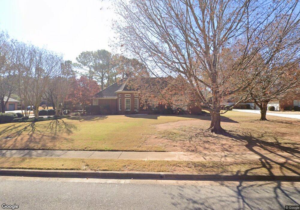
107 Lost Tree Dr SW Huntsville, AL 35824
Edgewater NeighborhoodEstimated Value: $457,000 - $595,000
--
Bed
1
Bath
2,817
Sq Ft
$187/Sq Ft
Est. Value
About This Home
This home is located at 107 Lost Tree Dr SW, Huntsville, AL 35824 and is currently estimated at $528,039, approximately $187 per square foot. 107 Lost Tree Dr SW is a home with nearby schools including Williams Elementary School, Williams Middle School, and Columbia High School.
Ownership History
Date
Name
Owned For
Owner Type
Purchase Details
Closed on
Mar 1, 2019
Sold by
Buie Walton O and Henderson Jo Ann
Bought by
Burcham Stephen W and Burcham Cynthia E
Current Estimated Value
Home Financials for this Owner
Home Financials are based on the most recent Mortgage that was taken out on this home.
Original Mortgage
$75,000
Outstanding Balance
$65,938
Interest Rate
4.4%
Mortgage Type
New Conventional
Estimated Equity
$462,101
Create a Home Valuation Report for This Property
The Home Valuation Report is an in-depth analysis detailing your home's value as well as a comparison with similar homes in the area
Home Values in the Area
Average Home Value in this Area
Purchase History
| Date | Buyer | Sale Price | Title Company |
|---|---|---|---|
| Burcham Stephen W | $340,000 | None Available |
Source: Public Records
Mortgage History
| Date | Status | Borrower | Loan Amount |
|---|---|---|---|
| Open | Burcham Stephen W | $75,000 |
Source: Public Records
Tax History Compared to Growth
Tax History
| Year | Tax Paid | Tax Assessment Tax Assessment Total Assessment is a certain percentage of the fair market value that is determined by local assessors to be the total taxable value of land and additions on the property. | Land | Improvement |
|---|---|---|---|---|
| 2024 | $2,303 | $40,540 | $6,000 | $34,540 |
| 2023 | $2,303 | $39,220 | $6,000 | $33,220 |
| 2022 | $0 | $35,400 | $6,000 | $29,400 |
| 2021 | $1,665 | $32,040 | $6,000 | $26,040 |
| 2020 | $1,665 | $29,530 | $6,000 | $23,530 |
| 2019 | $1,665 | $29,530 | $6,000 | $23,530 |
| 2018 | $1,653 | $29,320 | $0 | $0 |
| 2017 | $1,653 | $29,320 | $0 | $0 |
| 2016 | $1,653 | $29,320 | $0 | $0 |
| 2015 | $1,960 | $34,620 | $0 | $0 |
| 2014 | $1,938 | $34,240 | $0 | $0 |
Source: Public Records
Map
Nearby Homes
- 106 Spinnaker Ridge Dr SW
- 492 Sussex Dr SW
- 105 Brac Cir SW
- 111 Cane Brook Ct
- 109 Rainwood Dr SW
- 110 Chimes Way SW
- 507 Balsam Terrace Way SW
- 121 Windsor Hill Rd SW
- 131 Arbor Hill Ln SW
- 115 Windsor Hill Rd SW
- 324 Acorn Grove Ln SW
- 381 Saint Louis St
- 107 Overleaf Point SW
- 364 Saint Louis St
- 147 Bienville St
- 699 Town Madison Blvd Unit 5
- 145 Bienville St
- 314 Saint Louis St
- 691 Town Madison Blvd Unit 9
- 143 Bienville St
- 109 Lost Tree Dr SW
- 122 Lake Pointe Cir SW
- 104 Lost Tree Dr SW
- 124 Lake Pointe Cir SW
- 102 Lost Tree Dr SW
- 120 Lake Pointe Cir SW
- 103 Lost Tree Dr SW
- 106 Lost Tree Dr SW
- 111 Lost Tree Dr SW
- 108 Lost Tree Dr SW
- 118 Lake Pointe Cir SW
- 126 Lake Pointe Cir SW
- 108 Lake Pointe Cir SW
- 133 Lake Pointe Cir SW
- 104 Lake Pointe Cir SW
- 106 Lake Pointe Cir SW
- 131 Lake Pointe Cir SW
- 110 Lake Pointe Cir SW
- 135 Lake Pointe Cir SW
- 102 Lake Pointe Cir SW