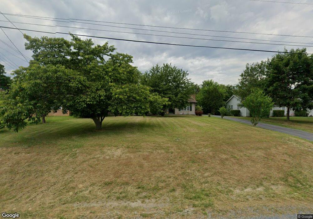
107 Maloy Dr Winchester, VA 22602
Estimated Value: $356,000 - $374,000
3
Beds
2
Baths
1,496
Sq Ft
$244/Sq Ft
Est. Value
About This Home
This home is located at 107 Maloy Dr, Winchester, VA 22602 and is currently estimated at $364,290, approximately $243 per square foot. 107 Maloy Dr is a home located in Frederick County with nearby schools including Admiral Richard E. Byrd Middle School, Millbrook High School, and Sharon's Centre.
Ownership History
Date
Name
Owned For
Owner Type
Purchase Details
Closed on
Apr 23, 2001
Sold by
Hines Bruce A
Bought by
Grimes Sylvia M
Current Estimated Value
Home Financials for this Owner
Home Financials are based on the most recent Mortgage that was taken out on this home.
Original Mortgage
$46,000
Outstanding Balance
$16,806
Interest Rate
6.9%
Estimated Equity
$347,484
Create a Home Valuation Report for This Property
The Home Valuation Report is an in-depth analysis detailing your home's value as well as a comparison with similar homes in the area
Home Values in the Area
Average Home Value in this Area
Purchase History
| Date | Buyer | Sale Price | Title Company |
|---|---|---|---|
| Grimes Sylvia M | $119,900 | -- |
Source: Public Records
Mortgage History
| Date | Status | Borrower | Loan Amount |
|---|---|---|---|
| Open | Grimes Sylvia M | $46,000 |
Source: Public Records
Tax History Compared to Growth
Tax History
| Year | Tax Paid | Tax Assessment Tax Assessment Total Assessment is a certain percentage of the fair market value that is determined by local assessors to be the total taxable value of land and additions on the property. | Land | Improvement |
|---|---|---|---|---|
| 2025 | $1,397 | $290,960 | $93,000 | $197,960 |
| 2024 | $608 | $238,500 | $77,000 | $161,500 |
| 2023 | $1,216 | $238,500 | $77,000 | $161,500 |
| 2022 | $1,227 | $201,100 | $72,000 | $129,100 |
| 2021 | $1,227 | $201,100 | $72,000 | $129,100 |
| 2020 | $1,094 | $179,400 | $72,000 | $107,400 |
| 2019 | $1,094 | $179,400 | $72,000 | $107,400 |
| 2018 | $1,030 | $168,900 | $72,000 | $96,900 |
| 2017 | $1,013 | $168,900 | $72,000 | $96,900 |
| 2016 | $911 | $151,900 | $59,500 | $92,400 |
| 2015 | $851 | $151,900 | $59,500 | $92,400 |
| 2014 | $436 | $147,000 | $59,500 | $87,500 |
Source: Public Records
Map
Nearby Homes
- 101 Maloy Dr
- 116 Maloy Dr
- 0 Greenwood Rd
- 2064 Senseny Rd
- 0 Grocery Ave Unit VAFV2015654
- 151 Mccormick Cir Unit 203
- 140 Mccormick Cir Unit 403
- 140 Mccormick Cir Unit 302
- 133 Country Park Dr
- 101 Arthur Ln
- 103 Derrynan Ct
- 0 7 Building Lots In Shawneeland Unit VAFV2032844
- 226 Taggart Dr
- 146 Sunshine Dr
- 229 Taggart Dr
- 219 Taggart Dr
- 128 Teaberry Dr
- 109 Murphy Ct
- Melody Plan at Abrams Pointe
- 101 Abrams Pointe Blvd