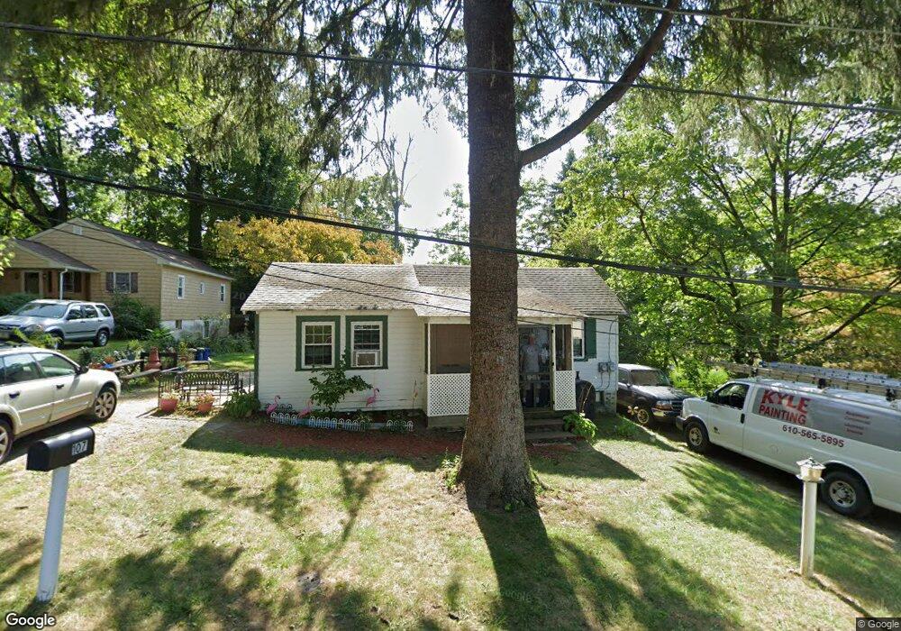
107 Maple Ave Aston, PA 19014
Estimated Value: $202,000 - $266,000
3
Beds
1
Bath
800
Sq Ft
$300/Sq Ft
Est. Value
About This Home
This home is located at 107 Maple Ave, Aston, PA 19014 and is currently estimated at $239,788, approximately $299 per square foot. 107 Maple Ave is a home located in Delaware County with nearby schools including St. Thomas Apostle School and The Christian Academy.
Ownership History
Date
Name
Owned For
Owner Type
Purchase Details
Closed on
Jan 16, 2023
Sold by
Cullison Carolyn F
Bought by
Forsyth William and Forsyth Mary Ellen
Current Estimated Value
Home Financials for this Owner
Home Financials are based on the most recent Mortgage that was taken out on this home.
Original Mortgage
$164,000
Outstanding Balance
$158,616
Interest Rate
6.27%
Mortgage Type
New Conventional
Estimated Equity
$81,172
Purchase Details
Closed on
Apr 19, 1994
Sold by
Cullison Jesse C
Bought by
Cullison Robert and Cullison Carolyn F
Create a Home Valuation Report for This Property
The Home Valuation Report is an in-depth analysis detailing your home's value as well as a comparison with similar homes in the area
Home Values in the Area
Average Home Value in this Area
Purchase History
| Date | Buyer | Sale Price | Title Company |
|---|---|---|---|
| Forsyth William | $205,000 | -- | |
| Cullison Robert | -- | -- |
Source: Public Records
Mortgage History
| Date | Status | Borrower | Loan Amount |
|---|---|---|---|
| Open | Forsyth William | $164,000 |
Source: Public Records
Tax History
| Year | Tax Paid | Tax Assessment Tax Assessment Total Assessment is a certain percentage of the fair market value that is determined by local assessors to be the total taxable value of land and additions on the property. | Land | Improvement |
|---|---|---|---|---|
| 2025 | $3,221 | $124,110 | $46,320 | $77,790 |
| 2024 | $3,221 | $124,110 | $46,320 | $77,790 |
| 2023 | $3,076 | $124,110 | $46,320 | $77,790 |
| 2022 | $2,966 | $124,110 | $46,320 | $77,790 |
| 2021 | $4,578 | $124,110 | $46,320 | $77,790 |
| 2020 | $2,633 | $64,480 | $30,060 | $34,420 |
| 2019 | $2,583 | $64,480 | $30,060 | $34,420 |
| 2018 | $2,473 | $64,480 | $0 | $0 |
| 2017 | $2,421 | $64,480 | $0 | $0 |
| 2016 | $354 | $64,480 | $0 | $0 |
| 2015 | $361 | $64,480 | $0 | $0 |
| 2014 | $361 | $64,480 | $0 | $0 |
Source: Public Records
Map
Nearby Homes
- 29 Hoag Ln
- 4301 Aston Mills Rd
- 411 Highgrove Ln
- 810 Maple Ln
- 222 Spring Valley Way
- 29 Steeplechase Cir
- 3 Victoria Dr
- 179 Nottingham Ct
- 3921 Concord Rd
- 1625 Hillcrest Ln
- 624 Convent Rd
- 51 Lake Dr
- 200 Anderson Ave
- 103 Tuscany Rd
- 8 Travelo Ln
- 189 Moria Place
- 147 Third Ave
- 419 Derry Dr Unit 419
- 239 Bishop Dr
- 184 Fifth Ave
Your Personal Tour Guide
Ask me questions while you tour the home.