107 Maple Ln Denver, IA 50622
Estimated Value: $312,000 - $442,000
4
Beds
4
Baths
2,291
Sq Ft
$167/Sq Ft
Est. Value
About This Home
This home is located at 107 Maple Ln, Denver, IA 50622 and is currently estimated at $382,551, approximately $166 per square foot. 107 Maple Ln is a home located in Bremer County with nearby schools including Denver Elementary School, Denver Middle School, and Denver Senior High School.
Ownership History
Date
Name
Owned For
Owner Type
Purchase Details
Closed on
Mar 25, 2010
Sold by
Henry Kirk P and Henry Krystal L
Bought by
Ferson Steven J and Ferson Jennifer L
Current Estimated Value
Home Financials for this Owner
Home Financials are based on the most recent Mortgage that was taken out on this home.
Original Mortgage
$168,875
Outstanding Balance
$110,869
Interest Rate
4.87%
Mortgage Type
FHA
Estimated Equity
$271,682
Purchase Details
Closed on
Mar 16, 2005
Sold by
Kuczmarski Bradley A
Bought by
Henry Kirk P and Henry Krystal L
Home Financials for this Owner
Home Financials are based on the most recent Mortgage that was taken out on this home.
Original Mortgage
$145,000
Interest Rate
5.64%
Mortgage Type
Credit Line Revolving
Create a Home Valuation Report for This Property
The Home Valuation Report is an in-depth analysis detailing your home's value as well as a comparison with similar homes in the area
Purchase History
| Date | Buyer | Sale Price | Title Company |
|---|---|---|---|
| Ferson Steven J | $175,000 | None Available | |
| Henry Kirk P | $170,000 | None Available |
Source: Public Records
Mortgage History
| Date | Status | Borrower | Loan Amount |
|---|---|---|---|
| Open | Ferson Steven J | $168,875 | |
| Previous Owner | Henry Kirk P | $145,000 |
Source: Public Records
Tax History
| Year | Tax Paid | Tax Assessment Tax Assessment Total Assessment is a certain percentage of the fair market value that is determined by local assessors to be the total taxable value of land and additions on the property. | Land | Improvement |
|---|---|---|---|---|
| 2025 | $4,446 | $346,700 | $64,800 | $281,900 |
| 2024 | $4,446 | $335,170 | $64,800 | $270,370 |
| 2023 | $4,120 | $337,050 | $52,640 | $284,410 |
| 2022 | $3,960 | $276,580 | $51,440 | $225,140 |
| 2021 | $4,244 | $276,580 | $51,440 | $225,140 |
| 2020 | $4,244 | $286,000 | $51,500 | $234,500 |
| 2019 | $4,090 | $285,720 | $0 | $0 |
| 2018 | $3,816 | $273,640 | $0 | $0 |
| 2017 | $3,816 | $257,900 | $0 | $0 |
| 2016 | $3,256 | $231,160 | $0 | $0 |
| 2015 | $3,256 | $216,030 | $0 | $0 |
| 2014 | $3,042 | $196,590 | $0 | $0 |
Source: Public Records
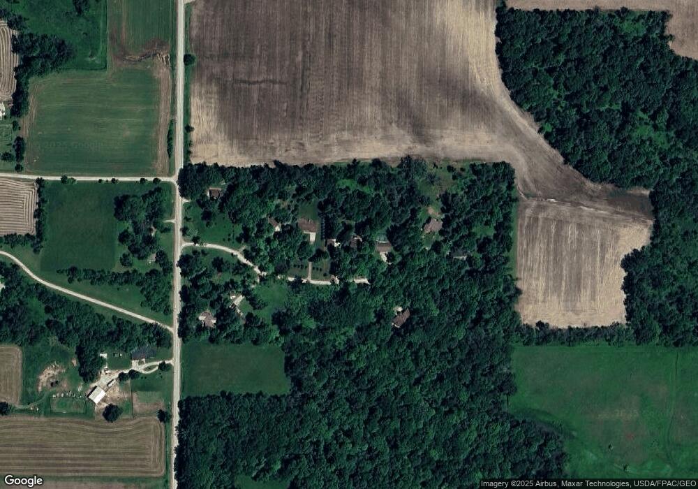
Map
Nearby Homes
- Lot 9 Arrowhead Ridge
- Lot 5 Arrowhead Ridge
- Lot 7 Arrowhead Ridge
- Lot 3 Arrowhead Ridge
- Lot 2 Arrowhead Ridge
- LOT 1 Arrowhead Ridge
- Lot 12 Arrowhead Ridge
- 110 Hidden Meadow Ln
- 112 Winding Ridge Rd
- 11.55 Highway 63
- 308 Arrowhead Ridge
- 230 Washington St
- 235 E Franklin St
- 730 Iowa St
- 201 Lincoln St
- 711 Washington St
- 760 S Mill St
- 541 E Fayette St
- 0 State St Unit NBR20252861
- 221 Prestien Dr
- 109 Maple Ln
- 105 Maple Ln
- 108 Maple Ln
- 104 Maple Ln
- 111 Maple Ln
- 103 Maple Ln
- 112 Maple Ln
- 102 Maple Ln
- 2519 Killdeer Ave
- 2529 Killdeer Ave
- 2524 Killdeer Ave
- 2534 Killdeer Ave
- 109 Doe Ln
- 310 Hillside Dr
- 113 Doe Ln
- 2526 Killdeer Ave
- 115 Doe Ln
- 106 Arrowhead Ridge Rd
- 104 Arrowhead Ridge Rd
- 102 Arrowhead Ridge Rd
Your Personal Tour Guide
Ask me questions while you tour the home.