107 Maysville Cem Rd Maysville, WV 26833
Estimated Value: $166,719 - $434,000
6
Beds
3
Baths
1,104
Sq Ft
$281/Sq Ft
Est. Value
About This Home
This home is located at 107 Maysville Cem Rd, Maysville, WV 26833 and is currently estimated at $310,680, approximately $281 per square foot. 107 Maysville Cem Rd is a home located in Grant County with nearby schools including Maysville Elementary School and Petersburg High School.
Ownership History
Date
Name
Owned For
Owner Type
Purchase Details
Closed on
Oct 16, 2020
Sold by
Lough Scott B
Bought by
Hall Timmy J and Hall Jessica M
Current Estimated Value
Home Financials for this Owner
Home Financials are based on the most recent Mortgage that was taken out on this home.
Original Mortgage
$166,155
Outstanding Balance
$146,839
Interest Rate
2.8%
Mortgage Type
New Conventional
Estimated Equity
$163,841
Purchase Details
Closed on
Feb 23, 2018
Sold by
Lough Freda L
Bought by
Lough Scott B
Home Financials for this Owner
Home Financials are based on the most recent Mortgage that was taken out on this home.
Original Mortgage
$110,000
Interest Rate
4.15%
Mortgage Type
Closed End Mortgage
Create a Home Valuation Report for This Property
The Home Valuation Report is an in-depth analysis detailing your home's value as well as a comparison with similar homes in the area
Home Values in the Area
Average Home Value in this Area
Purchase History
| Date | Buyer | Sale Price | Title Company |
|---|---|---|---|
| Hall Timmy J | $174,900 | None Available | |
| Lough Scott B | -- | None Available |
Source: Public Records
Mortgage History
| Date | Status | Borrower | Loan Amount |
|---|---|---|---|
| Open | Hall Timmy J | $166,155 | |
| Previous Owner | Lough Scott B | $110,000 |
Source: Public Records
Tax History Compared to Growth
Tax History
| Year | Tax Paid | Tax Assessment Tax Assessment Total Assessment is a certain percentage of the fair market value that is determined by local assessors to be the total taxable value of land and additions on the property. | Land | Improvement |
|---|---|---|---|---|
| 2025 | $431 | $55,380 | $19,080 | $36,300 |
| 2024 | $448 | $55,860 | $19,080 | $36,780 |
| 2023 | $439 | $54,660 | $19,080 | $35,580 |
| 2022 | $438 | $54,540 | $19,080 | $35,460 |
| 2021 | $363 | $45,240 | $19,080 | $26,160 |
| 2020 | $360 | $44,880 | $19,080 | $25,800 |
| 2019 | $305 | $44,880 | $19,080 | $25,800 |
| 2018 | $282 | $41,520 | $19,080 | $22,440 |
| 2017 | $282 | $41,520 | $19,080 | $22,440 |
| 2016 | $284 | $41,820 | $19,080 | $22,740 |
| 2015 | $284 | $41,820 | $19,080 | $22,740 |
| 2014 | $310 | $45,720 | $19,080 | $26,640 |
Source: Public Records
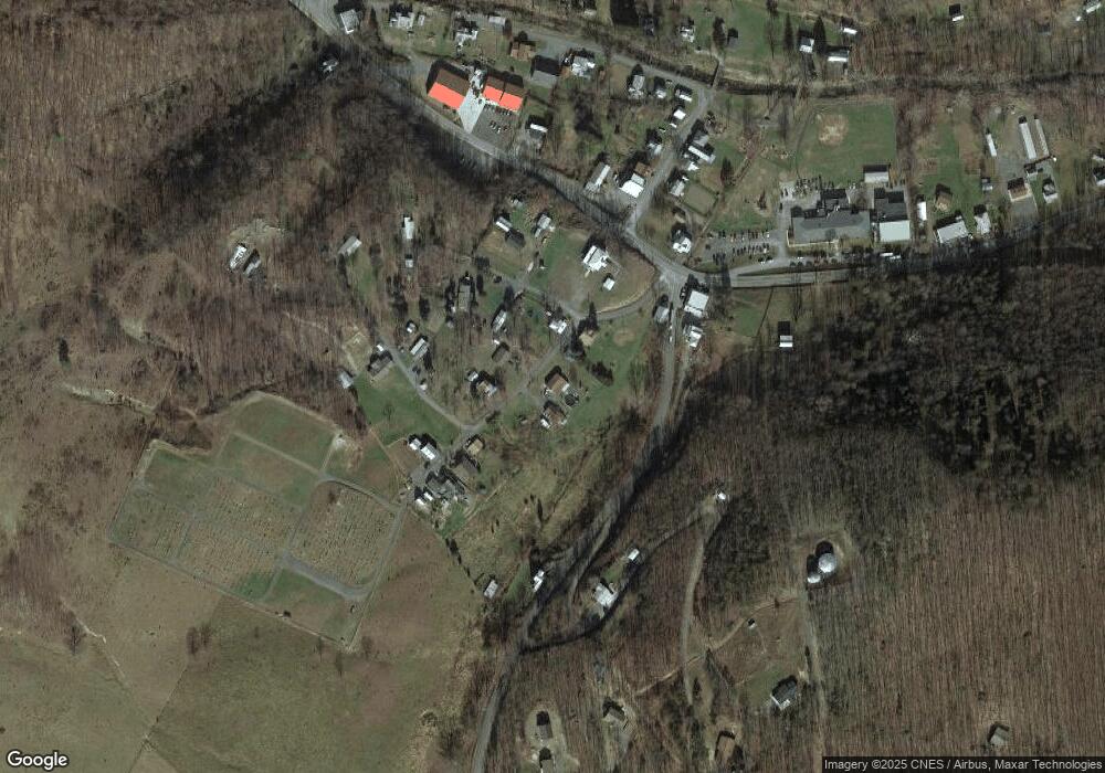
Map
Nearby Homes
- 2467 Roby Rd
- 0 Roby Rd
- 7652 Morgantown Rd
- 547 Haven Farms Cir
- 13 Hunrish Ln
- 1294 Winding Ln
- 4645 Lower Knobley Rd
- 230 Polar Bear Rd
- 1039 High Point Dr
- 19 Swan Rd
- 7642 Jordan Run Rd
- 0 Intimidators Rd
- 93 Adare Ln
- 401 Nighthawk Dr
- 641 Paul Stahl Rd
- 523 Gloryridge Dr
- 133 Upper Hawk Ridge Rd
- 0 Mt Lakeside Sub Divide Meadows Unit WVGT2000244
- 228 Meadow Ridge Dr
- 2381 Powers Hollow Rd
- 107 Maysville Cemetery Rd
- 122 Maysville Cemetery Rd
- 104 Maysville Cemetery Rd
- 72 Maysville Cemetery Rd
- 161 Maysville Cemetery Rd
- 67 Maysville Cemetery Rd
- 169 Maysville Cemetery Rd
- 63 Buckfever Dr
- 3646 Country Rd
- 3553 Country Rd
- 38 Red Cedar Ln
- 97 Smith Family Ln
- 10202 Lunice Creek Hwy
- 1206 Hc 80
- 14 Hc 80
- 120 Buckfever Dr
- 19 Main St
- 26 Main St
- 1 42 10 Maysville
- 33 Main St