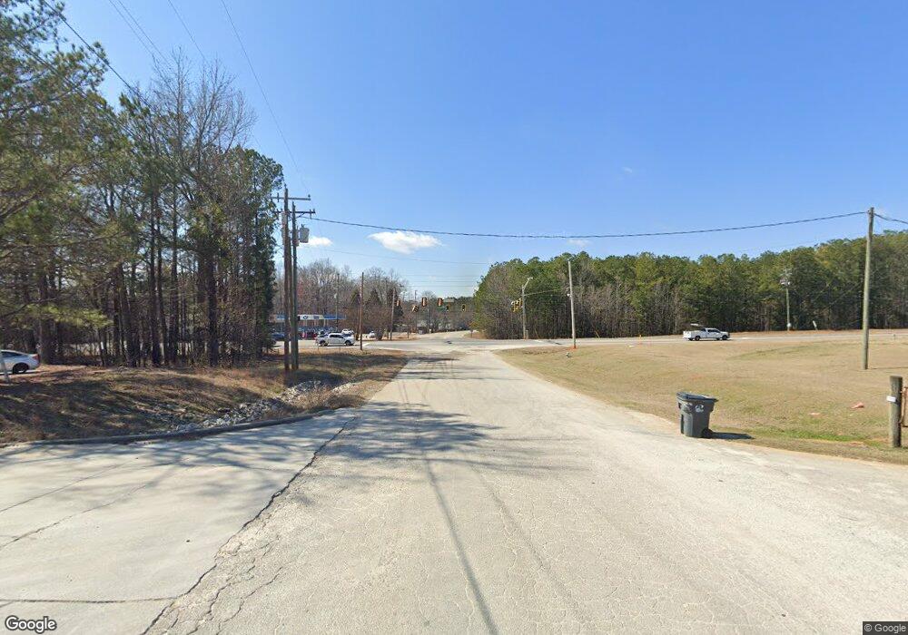
107 Michaels Dr Locust Grove, GA 30248
Estimated Value: $257,657 - $290,000
3
Beds
2
Baths
1,572
Sq Ft
$174/Sq Ft
Est. Value
About This Home
This home is located at 107 Michaels Dr, Locust Grove, GA 30248 and is currently estimated at $273,914, approximately $174 per square foot. 107 Michaels Dr is a home located in Henry County with nearby schools including Tussahaw Elementary School, Locust Grove Middle School, and Locust Grove High School.
Ownership History
Date
Name
Owned For
Owner Type
Purchase Details
Closed on
Sep 16, 2022
Sold by
107 Michael Lane Llc
Bought by
Farmer Jesse Franklin and Farmer Howard Franklin
Current Estimated Value
Home Financials for this Owner
Home Financials are based on the most recent Mortgage that was taken out on this home.
Original Mortgage
$167,500
Outstanding Balance
$159,871
Interest Rate
5.13%
Mortgage Type
New Conventional
Estimated Equity
$114,043
Purchase Details
Closed on
Feb 5, 2003
Sold by
Ihj Properties Llc
Bought by
107 Michael Lane Llc
Purchase Details
Closed on
Apr 10, 2001
Sold by
Joyner Isaac H
Bought by
Joyner I Houston I and Joyner Jane E
Home Financials for this Owner
Home Financials are based on the most recent Mortgage that was taken out on this home.
Original Mortgage
$99,600
Interest Rate
6.99%
Mortgage Type
New Conventional
Purchase Details
Closed on
Feb 28, 2001
Sold by
Joyner Isaac H
Bought by
Ihj Properties Llc
Home Financials for this Owner
Home Financials are based on the most recent Mortgage that was taken out on this home.
Original Mortgage
$99,600
Interest Rate
6.99%
Mortgage Type
New Conventional
Purchase Details
Closed on
Sep 30, 1999
Sold by
Jones Jackie G and Jones Kimberly W
Bought by
Joyner Isaac H
Home Financials for this Owner
Home Financials are based on the most recent Mortgage that was taken out on this home.
Original Mortgage
$96,210
Interest Rate
7.79%
Mortgage Type
New Conventional
Purchase Details
Closed on
Feb 19, 1997
Sold by
Chamlee Claude
Bought by
Jones Jackie Kimberly
Create a Home Valuation Report for This Property
The Home Valuation Report is an in-depth analysis detailing your home's value as well as a comparison with similar homes in the area
Home Values in the Area
Average Home Value in this Area
Purchase History
| Date | Buyer | Sale Price | Title Company |
|---|---|---|---|
| Farmer Jesse Franklin | $217,000 | -- | |
| 107 Michael Lane Llc | $30,000 | -- | |
| Joyner I Houston I | -- | -- | |
| Ihj Properties Llc | $17,000 | -- | |
| Joyner Isaac H | $106,900 | -- | |
| Jones Jackie Kimberly | $96,900 | -- |
Source: Public Records
Mortgage History
| Date | Status | Borrower | Loan Amount |
|---|---|---|---|
| Open | Farmer Jesse Franklin | $167,500 | |
| Previous Owner | Joyner I Houston I | $99,600 | |
| Previous Owner | Joyner Isaac H | $96,210 | |
| Closed | Jones Jackie Kimberly | $0 |
Source: Public Records
Tax History Compared to Growth
Tax History
| Year | Tax Paid | Tax Assessment Tax Assessment Total Assessment is a certain percentage of the fair market value that is determined by local assessors to be the total taxable value of land and additions on the property. | Land | Improvement |
|---|---|---|---|---|
| 2025 | $4,441 | $111,320 | $14,000 | $97,320 |
| 2024 | $4,441 | $110,360 | $14,000 | $96,360 |
| 2023 | $3,370 | $86,800 | $11,197 | $75,603 |
| 2022 | $3,011 | $91,120 | $14,000 | $77,120 |
| 2021 | $2,635 | $67,640 | $14,000 | $53,640 |
| 2020 | $2,477 | $63,520 | $12,000 | $51,520 |
| 2019 | $2,345 | $60,080 | $12,000 | $48,080 |
| 2018 | $0 | $56,200 | $10,800 | $45,400 |
| 2016 | $1,837 | $46,840 | $10,000 | $36,840 |
| 2015 | $1,688 | $41,680 | $8,000 | $33,680 |
| 2014 | $1,678 | $40,920 | $10,000 | $30,920 |
Source: Public Records
Map
Nearby Homes
- 5009 Yankee Doodle Dr
- 3305 Hancock Point
- 3227 Puritan Way
- 5120 Redcoat Ln
- 167 Classica Dr
- 340 Colvin Dr
- 75 Price Dr W
- 8008 Revere Dr Unit 1
- 308 Jade Laurel Ln
- 825 S Bethany Rd
- 104 Waratah Dr
- 153 Fresh Laurel Ln
- 170 Fresh Laurel Ln
- 9054 Dawes Crossing
- 390 Coan Dr
- 1579 S Bethany Rd
- 6013 Linda Way
- 0 Lester Mill Rd Unit 10126503
- 2630 Highway 42 S Unit 248
- 2650 Georgia 42
- 135 Bethlehem Rd
- 109 Bethlehem Rd
- 2678 Highway 42
- 2678 Highway 42
- 439 Vermeer Ct
- 427 Vermeer Ct
- 435 Vermeer Ct
- 419 Vermeer Ct
- 408 Vermeer Ct
- 408 Vermeer Ct Unit 328
- 301 Park 42 Dr
- 120 Park 42 Dr
- 145 Pine Grove Dr
- 155 Pine Grove Rd
- 0 Pine Grove Rd Unit 7426829
- 0 Pine Grove Rd Unit 7365323
- 0 Pine Grove Rd Unit 8268412
- 0 Pine Grove Rd Unit 8320743
