107 N Carter St Colfax, IN 46035
Estimated Value: $108,000 - $134,000
2
Beds
1
Bath
984
Sq Ft
$121/Sq Ft
Est. Value
About This Home
This home is located at 107 N Carter St, Colfax, IN 46035 and is currently estimated at $119,030, approximately $120 per square foot. 107 N Carter St is a home located in Clinton County with nearby schools including Clinton Prairie Elementary School and Clinton Prairie Junior/Senior High School.
Ownership History
Date
Name
Owned For
Owner Type
Purchase Details
Closed on
Nov 3, 2022
Sold by
Caldwell Mike
Bought by
Caldwell Michael M and Caldwell Jennifer R
Current Estimated Value
Purchase Details
Closed on
Aug 4, 2005
Sold by
Chase Home Finance Llc
Bought by
Caldwell Mike
Purchase Details
Closed on
Aug 13, 2001
Sold by
Whitlock Susan M and Whitlock Phillip M
Bought by
Ramsey Nathan E and Ramsey Marguerite A
Purchase Details
Closed on
Aug 10, 1998
Sold by
Edward Sheets Steven
Bought by
Neal Dustin J
Purchase Details
Closed on
May 30, 1997
Sold by
Schocke Sidney J and Hw Jackie L
Bought by
Whitlock Susan M and Whitlock Phillip M
Create a Home Valuation Report for This Property
The Home Valuation Report is an in-depth analysis detailing your home's value as well as a comparison with similar homes in the area
Home Values in the Area
Average Home Value in this Area
Purchase History
| Date | Buyer | Sale Price | Title Company |
|---|---|---|---|
| Caldwell Michael M | -- | None Listed On Document | |
| Caldwell Mike | -- | None Available | |
| Ramsey Nathan E | -- | -- | |
| Neal Dustin J | $55,000 | -- | |
| Whitlock Susan M | $61,000 | -- |
Source: Public Records
Tax History Compared to Growth
Tax History
| Year | Tax Paid | Tax Assessment Tax Assessment Total Assessment is a certain percentage of the fair market value that is determined by local assessors to be the total taxable value of land and additions on the property. | Land | Improvement |
|---|---|---|---|---|
| 2024 | $780 | $83,100 | $8,400 | $74,700 |
| 2023 | $720 | $83,100 | $8,400 | $74,700 |
| 2022 | $570 | $70,100 | $8,400 | $61,700 |
| 2021 | $481 | $48,300 | $8,400 | $39,900 |
| 2020 | $479 | $46,500 | $8,400 | $38,100 |
| 2019 | $462 | $46,500 | $8,400 | $38,100 |
| 2018 | $441 | $46,500 | $8,400 | $38,100 |
| 2017 | $414 | $46,200 | $8,400 | $37,800 |
| 2016 | $389 | $43,000 | $8,700 | $34,300 |
| 2014 | $264 | $38,900 | $8,700 | $30,200 |
Source: Public Records
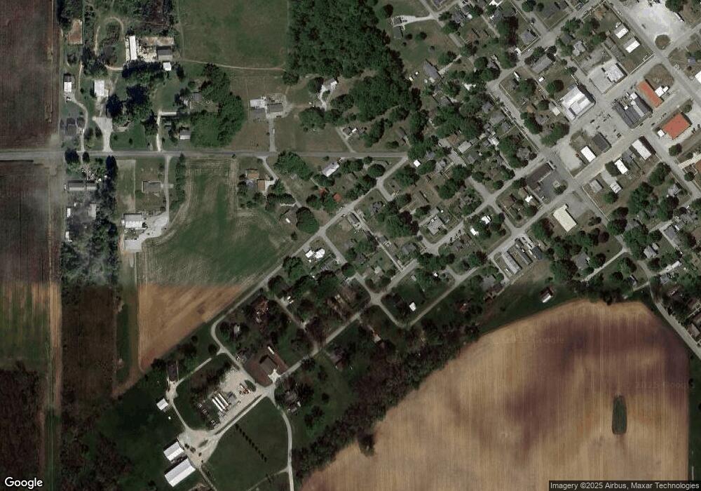
Map
Nearby Homes
- 108 N Carter St
- 404 W Franklin St
- 304 W Jefferson St
- 208 E Midway St
- 7001 N 1075 W
- 7706 N 1000 E
- 7279 N 950 E
- 7018 S County Road 430 W
- 9322 Main St
- 11816 Orange St
- 5778 W County Road 300 S
- 11818 Madison St
- Juniper Plan at Westfall Place
- Chestnut Plan at Westfall Place
- Walnut Plan at Westfall Place
- Ironwood Plan at Westfall Place
- Empress Plan at Westfall Place
- Ashton Plan at Westfall Place
- Spruce Plan at Westfall Place
- Palmetto Plan at Westfall Place
- 108 N Mitchell St
- 504 W Franklin St
- 106 N Carter St
- 502 W Jefferson St
- 104 N Carter St
- 504 W Jefferson St
- 500 W Franklin St
- 100 N Carter St
- 500 W Jefferson St
- 104 S Carter St
- 602 W Franklin St
- 202 N Carter St
- 105 N Mitchell St
- 109 N Mitchell St
- 109 N Weaver St
- 501 W Linden St
- 509 W Franklin St
- 406 W Jefferson St
- 404 W Linden St
- 106 N College St