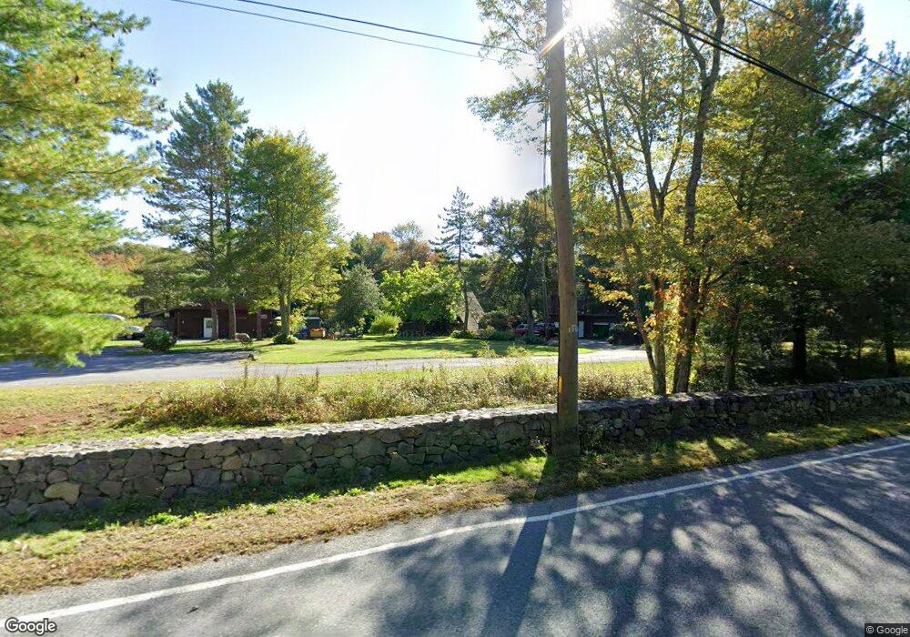
107 New St Rehoboth, MA 02769
Estimated Value: $594,418 - $633,000
2
Beds
2
Baths
1,848
Sq Ft
$335/Sq Ft
Est. Value
About This Home
This home is located at 107 New St, Rehoboth, MA 02769 and is currently estimated at $619,855, approximately $335 per square foot. 107 New St is a home located in Bristol County with nearby schools including Dighton-Rehoboth Regional High School and Cedar Brook School.
Ownership History
Date
Name
Owned For
Owner Type
Purchase Details
Closed on
Jun 18, 2024
Sold by
Seaman-Grenier Robin L
Bought by
Grenier Norman J and Seaman-Grenier Robin L
Current Estimated Value
Purchase Details
Closed on
Jun 11, 1991
Sold by
Coia Arthur
Bought by
Classic Breeding Inc
Create a Home Valuation Report for This Property
The Home Valuation Report is an in-depth analysis detailing your home's value as well as a comparison with similar homes in the area
Home Values in the Area
Average Home Value in this Area
Purchase History
| Date | Buyer | Sale Price | Title Company |
|---|---|---|---|
| Grenier Norman J | -- | None Available | |
| Grenier Norman J | -- | None Available | |
| Classic Breeding Inc | $158,000 | -- | |
| Classic Breeding Inc | $158,000 | -- |
Source: Public Records
Mortgage History
| Date | Status | Borrower | Loan Amount |
|---|---|---|---|
| Previous Owner | Classic Breeding Inc | $75,482 | |
| Previous Owner | Classic Breeding Inc | $34,000 | |
| Previous Owner | Classic Breeding Inc | $142,200 |
Source: Public Records
Tax History Compared to Growth
Tax History
| Year | Tax Paid | Tax Assessment Tax Assessment Total Assessment is a certain percentage of the fair market value that is determined by local assessors to be the total taxable value of land and additions on the property. | Land | Improvement |
|---|---|---|---|---|
| 2025 | $5,606 | $502,800 | $216,900 | $285,900 |
| 2024 | $5,353 | $471,200 | $216,900 | $254,300 |
| 2023 | $5,389 | $465,400 | $212,900 | $252,500 |
| 2022 | $5,367 | $423,600 | $204,500 | $219,100 |
| 2021 | $5,473 | $413,400 | $188,200 | $225,200 |
| 2020 | $3,806 | $406,100 | $188,200 | $217,900 |
| 2018 | $4,421 | $369,300 | $180,400 | $188,900 |
| 2017 | $4,893 | $343,700 | $180,400 | $163,300 |
| 2016 | $4,176 | $343,700 | $180,400 | $163,300 |
| 2015 | $4,023 | $326,800 | $173,200 | $153,600 |
| 2014 | $3,976 | $319,600 | $166,000 | $153,600 |
Source: Public Records
Map
Nearby Homes
- 24 New St
- 0 Horton St Unit 73333337
- 1030 Oak St
- 2661 Horton St
- 2713 Horton St
- 133 Winthrop St
- 2045 Winthrop St
- 29 & 43 Francis St
- 1240 Smith St
- 257 Anawan St
- 10 Muriel Way
- 225 Winthrop St
- 701 Winthrop St Unit 312
- 23 Bay State Rd
- 246 Winthrop St
- 0 Winthrop St Unit 73180872
- 0 Monteiro Unit 71870472
- 1421 Tremont St
- 15 Carpenter St
- 826 Williams St