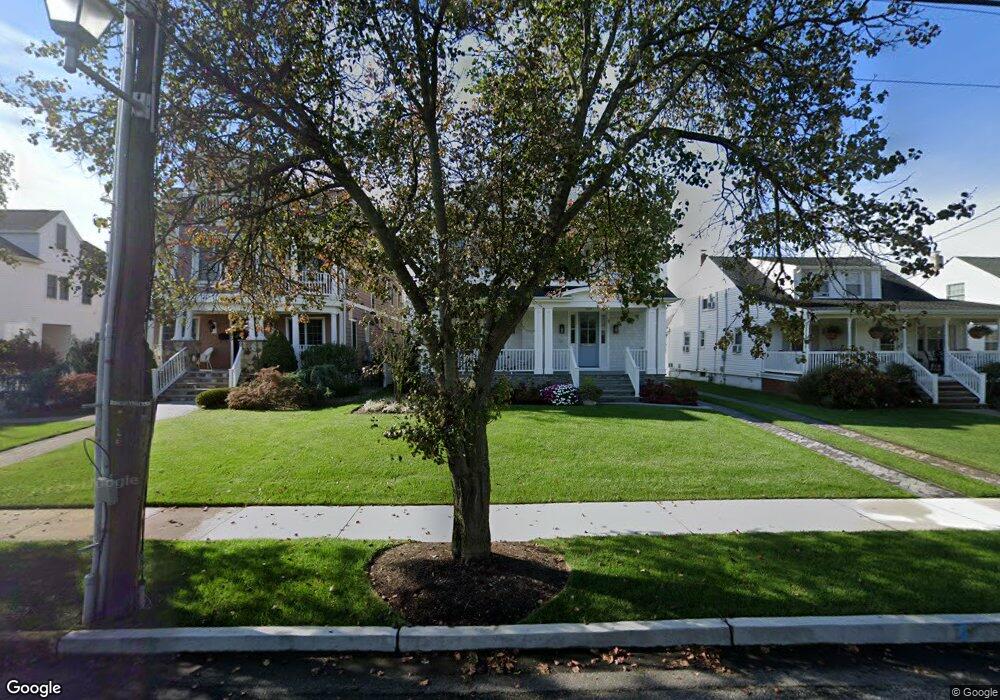
107 Pennsylvania Ave Spring Lake, NJ 07762
Estimated Value: $2,217,000 - $3,541,000
4
Beds
2
Baths
2,044
Sq Ft
$1,360/Sq Ft
Est. Value
About This Home
This home is located at 107 Pennsylvania Ave, Spring Lake, NJ 07762 and is currently estimated at $2,780,093, approximately $1,360 per square foot. 107 Pennsylvania Ave is a home located in Monmouth County with nearby schools including St. Catharine School.
Ownership History
Date
Name
Owned For
Owner Type
Purchase Details
Closed on
Apr 15, 2011
Sold by
Burke T Joseph and Burke Laurice D
Bought by
Holt Christopher A and Holt Carolyn C
Current Estimated Value
Home Financials for this Owner
Home Financials are based on the most recent Mortgage that was taken out on this home.
Original Mortgage
$999,000
Outstanding Balance
$687,930
Interest Rate
4.76%
Mortgage Type
Stand Alone First
Estimated Equity
$2,092,163
Purchase Details
Closed on
Jan 7, 1997
Sold by
Hazard John
Bought by
Burke T Joseph and Burke Laurice
Create a Home Valuation Report for This Property
The Home Valuation Report is an in-depth analysis detailing your home's value as well as a comparison with similar homes in the area
Home Values in the Area
Average Home Value in this Area
Purchase History
| Date | Buyer | Sale Price | Title Company |
|---|---|---|---|
| Holt Christopher A | $1,290,000 | Fidelity Natl Title Ins Co | |
| Burke T Joseph | $320,000 | -- |
Source: Public Records
Mortgage History
| Date | Status | Borrower | Loan Amount |
|---|---|---|---|
| Open | Holt Christopher A | $999,000 |
Source: Public Records
Tax History Compared to Growth
Tax History
| Year | Tax Paid | Tax Assessment Tax Assessment Total Assessment is a certain percentage of the fair market value that is determined by local assessors to be the total taxable value of land and additions on the property. | Land | Improvement |
|---|---|---|---|---|
| 2025 | $10,440 | $2,460,000 | $2,460,000 | -- |
| 2024 | $10,092 | $2,135,000 | $2,135,000 | $0 |
| 2023 | $10,092 | $2,006,300 | $1,923,200 | $83,100 |
| 2022 | $9,019 | $1,827,100 | $1,747,900 | $79,200 |
| 2021 | $9,019 | $1,503,100 | $1,431,500 | $71,600 |
| 2020 | $9,018 | $1,459,300 | $1,390,500 | $68,800 |
| 2019 | $8,964 | $1,422,800 | $1,356,000 | $66,800 |
| 2018 | $8,925 | $1,421,200 | $1,356,000 | $65,200 |
| 2017 | $8,524 | $1,361,700 | $1,300,000 | $61,700 |
| 2016 | $8,305 | $1,215,900 | $1,030,000 | $185,900 |
| 2015 | $8,382 | $1,200,900 | $1,015,000 | $185,900 |
| 2014 | $8,692 | $1,267,100 | $1,081,200 | $185,900 |
Source: Public Records
Map
Nearby Homes
- 11 Union Ave
- 306 Ocean Rd
- 200 Monmouth Ave Unit 21
- 200 Monmouth Ave Unit 19
- 200 Monmouth Ave Unit 27
- 200 Monmouth Ave Unit 23
- 200 Monmouth Ave Unit 5
- 305 4th Ave
- 2 The Terrace
- 16 Sussex Ave
- 20 Sussex Ave
- 418 Salem Ave
- 103 Ocean Ave
- 418 Monmouth Ave
- 118 Warren Ave
- 601 Central Ave
- 510 Beacon Blvd
- 513 Mercer Ave
- 417 Brooklyn Blvd
- 102 Baltimore Blvd
- 105 Pennsylvania Ave
- 109 Pennsylvania Ave
- 111 Pennsylvania Ave
- 103 Pennsylvania Ave
- 113 Pennsylvania Ave
- 112 Union Ave
- 108 Union Ave
- 110 Union Ave
- 114 Union Ave
- 106 Union Ave
- 206 2nd Ave
- 209 1st Ave
- 209 1st Ave Unit SUMMER
- 209 1st Ave Unit WINTER
- 114 Pennsylvania Ave
- 204 2nd Ave
- 202 2nd Ave
- 211 1st Ave
- 207 1st Ave
- 205 1st Ave