107 Pheasant Dr Mankato, MN 56001
Mankato AreaEstimated Value: $666,000 - $813,466
About This Home
This home is located at 107 Pheasant Dr, Mankato, MN 56001 and is currently estimated at $743,117, approximately $210 per square foot. 107 Pheasant Dr is a home located in Blue Earth County with nearby schools including Washington Elementary School, Prairie Winds Middle School, and Mankato East Senior High School.
Ownership History
We collect this data history from publicly available records. To have your information removed, we recommend requesting removal directly through your county’s website.
Purchase Details
Home Financials for this Owner
Home Financials are based on the most recent Mortgage that was taken out on this home.Purchase History
We collect this data history from publicly available records. To have your information removed, we recommend requesting removal directly through your county’s website.
| Date | Buyer | Sale Price | Title Company |
|---|---|---|---|
| $418,000 | -- |
Mortgage History
We collect this data history from publicly available records. To have your information removed, we recommend requesting removal directly through your county’s website.
| Date | Status | Borrower | Loan Amount |
|---|---|---|---|
| Open | $205,883 | ||
| Closed | $216,500 | ||
| Open | $423,000 | ||
| Closed | $423,000 | ||
| Previous Owner | $329,000 | ||
| Previous Owner | $72,000 | ||
| Previous Owner | $24,500 | ||
| Previous Owner | $286,000 | ||
| Previous Owner | $127,976 | ||
| Previous Owner | $76,420 | ||
| Previous Owner | $50,000 |
Tax History
We collect this data history from publicly available records. To have your information removed, we recommend requesting removal directly through your county’s website.
| Year | Tax Paid | Tax Assessment Tax Assessment Total Assessment is a certain percentage of the fair market value that is determined by local assessors to be the total taxable value of land and additions on the property. | Land | Improvement |
|---|---|---|---|---|
| 2026 | $7,084 | $802,000 | $86,400 | $715,600 |
| 2025 | $7,084 | $745,300 | $86,400 | $658,900 |
| 2024 | $6,184 | $699,900 | $86,400 | $613,500 |
| 2023 | $5,640 | $696,300 | $86,400 | $609,900 |
| 2022 | $5,166 | $637,600 | $86,400 | $551,200 |
| 2021 | $4,250 | $542,000 | $86,400 | $455,600 |
| 2020 | $4,244 | $443,600 | $76,200 | $367,400 |
| 2019 | $4,400 | $443,600 | $76,200 | $367,400 |
| 2018 | $4,068 | $464,200 | $76,200 | $388,000 |
| 2017 | $3,528 | $430,500 | $76,200 | $354,300 |
| 2016 | $2,872 | $396,600 | $76,200 | $320,400 |
| 2015 | $25 | $325,900 | $60,900 | $265,000 |
| 2014 | $2,724 | $290,400 | $60,900 | $229,500 |
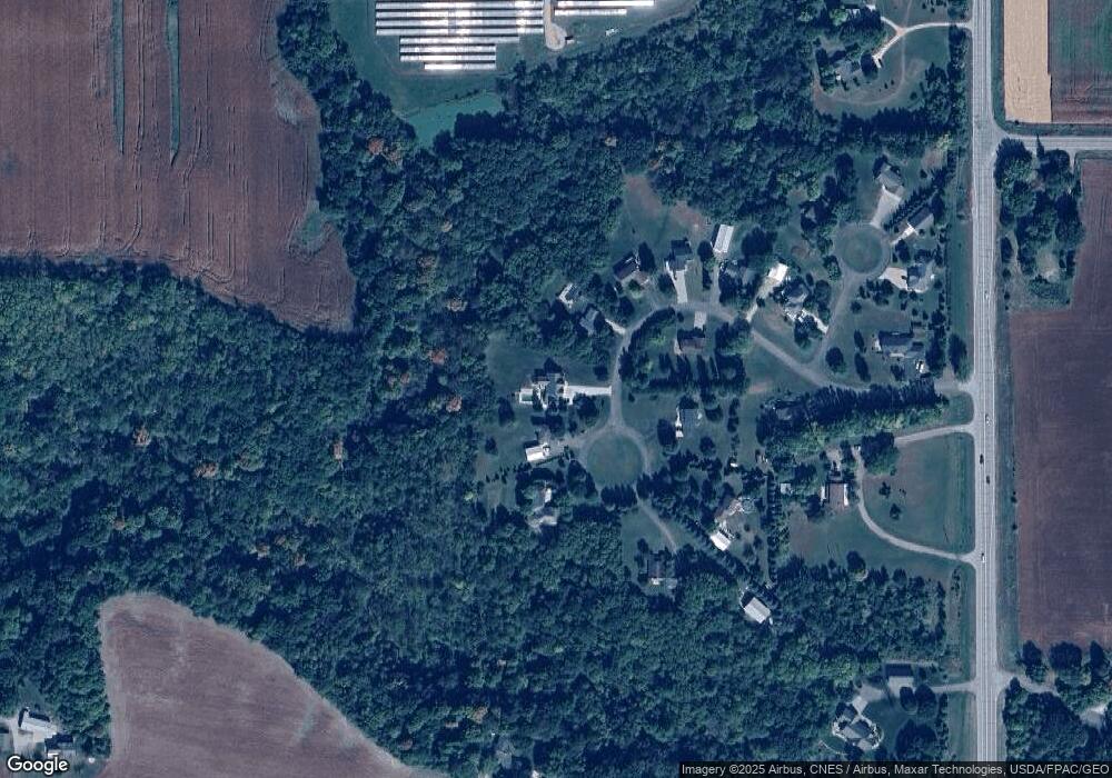
Map
- 24100 577th Ln
- 23955 Lime Valley Rd
- 58369 240th St
- 35425 Shakpays Cove Rd
- 35086 Primrose Ln
- TBD Lime Valley Rd
- 583rd Street
- 180 Joray Dr
- 133 Maple Dr Unit 59
- 126 Maple Dr Unit 62
- 130 Maple Dr Unit 64
- 25 Wood Dr Unit 9
- 413 Elm Dr Unit 111
- 304 Oak Ln Unit 109
- 23 Wood Dr Unit 8
- 305 Oak Ln Unit 100
- 47 Wood Dr Unit 20
- 110 Maple Dr Unit 74
- 212 Spruce Ln Unit 89
- 407 Elm Dr Unit 114
- 107 Pheasant Dr Unit Pheasant Run
- 108 Pheasant Dr
- 106 Pheasant Dr
- 110 Pheasant Dr
- 113 Pheasant Dr
- 113 Pheasant Dr Unit 113 Pheasant Drive
- 113 113 Pheasant Dr
- 105 Pheasant Dr
- 104 Pheasant Dr
- 103 Pheasant Dr
- 111 Pheasant Dr
- 115 Pheasant Dr
- 205 Pheasant Ct
- 204 Pheasant Ct
- 101 Pheasant Dr
- 24210 State Highway 22
- 203 Pheasant Ct
- 202 Pheasant Ct
- 57966 Jayhawk Rd
- 48940 State Highway 22
Ask me questions while you tour the home.