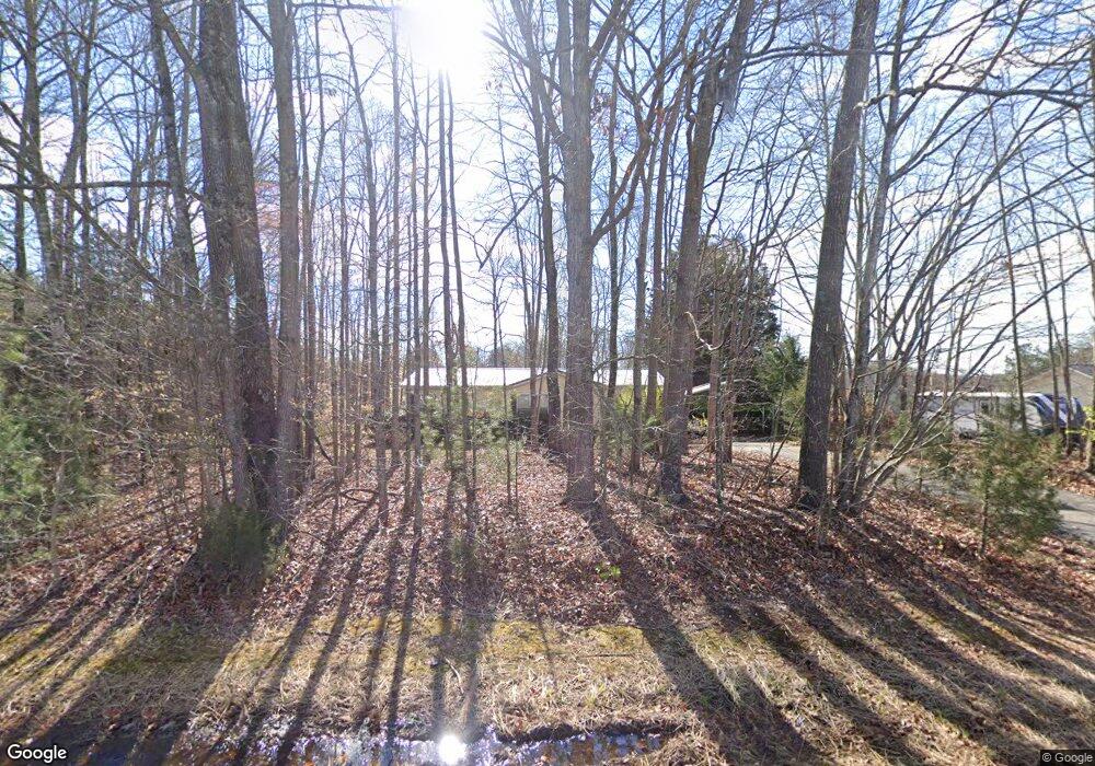
107 Powell Rd Mocksville, NC 27028
Estimated Value: $149,756 - $214,000
3
Beds
2
Baths
1,160
Sq Ft
$165/Sq Ft
Est. Value
About This Home
This home is located at 107 Powell Rd, Mocksville, NC 27028 and is currently estimated at $191,439, approximately $165 per square foot. 107 Powell Rd is a home located in Davie County with nearby schools including William R. Davie Elementary School, North Davie Middle School, and Davie County High School.
Ownership History
Date
Name
Owned For
Owner Type
Purchase Details
Closed on
Apr 15, 2005
Sold by
Russ John Z and Russ Katie L
Bought by
Kruelski Kent A
Current Estimated Value
Home Financials for this Owner
Home Financials are based on the most recent Mortgage that was taken out on this home.
Original Mortgage
$75,050
Outstanding Balance
$38,628
Interest Rate
5.74%
Mortgage Type
FHA
Estimated Equity
$152,811
Purchase Details
Closed on
Jan 1, 2004
Purchase Details
Closed on
Sep 1, 2003
Purchase Details
Closed on
Oct 1, 1998
Create a Home Valuation Report for This Property
The Home Valuation Report is an in-depth analysis detailing your home's value as well as a comparison with similar homes in the area
Home Values in the Area
Average Home Value in this Area
Purchase History
| Date | Buyer | Sale Price | Title Company |
|---|---|---|---|
| Kruelski Kent A | $76,500 | -- | |
| -- | -- | -- | |
| -- | $56,500 | -- | |
| -- | $70,500 | -- |
Source: Public Records
Mortgage History
| Date | Status | Borrower | Loan Amount |
|---|---|---|---|
| Open | Kruelski Kent A | $75,050 |
Source: Public Records
Tax History Compared to Growth
Tax History
| Year | Tax Paid | Tax Assessment Tax Assessment Total Assessment is a certain percentage of the fair market value that is determined by local assessors to be the total taxable value of land and additions on the property. | Land | Improvement |
|---|---|---|---|---|
| 2025 | $941 | $136,600 | $15,560 | $121,040 |
| 2024 | $568 | $73,480 | $25,000 | $48,480 |
| 2023 | $568 | $73,480 | $25,000 | $48,480 |
| 2022 | $568 | $73,480 | $25,000 | $48,480 |
| 2021 | $568 | $73,480 | $25,000 | $48,480 |
| 2020 | $550 | $70,730 | $25,000 | $45,730 |
| 2019 | $550 | $70,730 | $25,000 | $45,730 |
| 2018 | $550 | $70,730 | $25,000 | $45,730 |
| 2017 | $543 | $70,730 | $0 | $0 |
| 2016 | $583 | $75,870 | $0 | $0 |
| 2015 | $583 | $75,870 | $0 | $0 |
| 2014 | $501 | $75,870 | $0 | $0 |
| 2013 | -- | $75,870 | $0 | $0 |
Source: Public Records
Map
Nearby Homes
- 2082 US Highway 64 W
- 567 Godbey Rd
- 192 Culloden Dr
- 172 Murphy Meadow Rd
- 168 Murphy Rd
- 171 Murphy Meadow Rd
- 167 Murphy Meadow Rd
- 165 Murphy Meadow Rd
- 187 Caravan Ln
- 161 Murphy Meadow Rd
- 114 Danner Rd
- 119 Heritage Valley Ct
- 120 Heritage Valley Ct
- 111 Heritage Valley Ct
- 0 Ralph Ratledge Rd
- 107 Heritage Valley Ct
- 119 Powell Rd
- 2131 Us Highway 64 W
- 2152 Us Highway 64 W
- 2167 Us Highway 64 W
- 2117 Us Highway 64 W
- 2164 U S 64
- 2164 Us Highway 64 W
- 135 Powell Rd
- 2171 Us Highway 64 W
- 126 Powell Rd
- 2170 Us Highway 64 W
- 2105 Us Highway 64 W
- 2173 Us Highway 64 W
- 134 Powell Rd
- 8.129 AC Us Highway 64 Hwy W
- Lot Bryant Ln
- 0 Bryant Ln
- 00 Bryant Ln
- 2180 Us Highway 64 W
- 2095 Us Highway 64 W