107 Runway Cir Cleveland, GA 30528
Estimated Value: $364,000 - $739,000
3
Beds
3
Baths
1,860
Sq Ft
$282/Sq Ft
Est. Value
About This Home
This home is located at 107 Runway Cir, Cleveland, GA 30528 and is currently estimated at $524,545, approximately $282 per square foot. 107 Runway Cir is a home located in White County with nearby schools including White County 9th Grade Academy, Tesnatee Gap Elementary (Old White County Intermediate), and Jack P. Nix Elementary School.
Ownership History
Date
Name
Owned For
Owner Type
Purchase Details
Closed on
Jun 29, 2005
Sold by
Goss Kelly Ann
Bought by
Walls Susan J and Walls Christian K
Current Estimated Value
Home Financials for this Owner
Home Financials are based on the most recent Mortgage that was taken out on this home.
Original Mortgage
$27,000
Outstanding Balance
$13,895
Interest Rate
5.54%
Mortgage Type
New Conventional
Estimated Equity
$510,650
Create a Home Valuation Report for This Property
The Home Valuation Report is an in-depth analysis detailing your home's value as well as a comparison with similar homes in the area
Home Values in the Area
Average Home Value in this Area
Purchase History
| Date | Buyer | Sale Price | Title Company |
|---|---|---|---|
| Walls Susan J | $200,000 | -- |
Source: Public Records
Mortgage History
| Date | Status | Borrower | Loan Amount |
|---|---|---|---|
| Open | Walls Susan J | $27,000 | |
| Closed | Walls Susan J | $144,000 |
Source: Public Records
Tax History Compared to Growth
Tax History
| Year | Tax Paid | Tax Assessment Tax Assessment Total Assessment is a certain percentage of the fair market value that is determined by local assessors to be the total taxable value of land and additions on the property. | Land | Improvement |
|---|---|---|---|---|
| 2025 | $4,406 | $211,512 | $18,720 | $192,792 |
| 2024 | $4,406 | $211,512 | $18,720 | $192,792 |
| 2023 | $4,239 | $186,892 | $16,640 | $170,252 |
| 2022 | $2,849 | $120,060 | $15,600 | $104,460 |
| 2021 | $2,812 | $104,868 | $14,352 | $90,516 |
| 2020 | $2,447 | $95,524 | $14,352 | $81,172 |
| 2019 | $2,455 | $95,524 | $14,352 | $81,172 |
| 2018 | $2,083 | $82,336 | $14,352 | $67,984 |
| 2017 | $2,057 | $80,108 | $14,352 | $65,756 |
| 2016 | $2,057 | $80,108 | $14,352 | $65,756 |
| 2015 | $1,906 | $194,510 | $14,352 | $63,452 |
| 2014 | $1,756 | $176,200 | $0 | $0 |
Source: Public Records
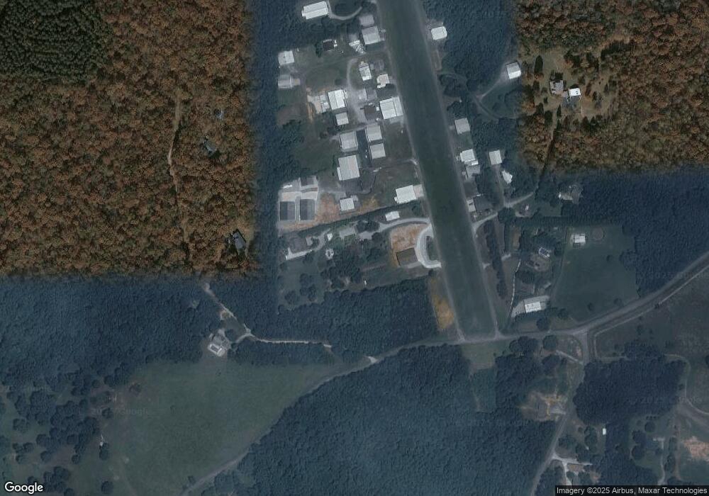
Map
Nearby Homes
- 96 Joyce Dr Unit (OFF AIRPORT ROAD)
- 841 Yonah Meadow Dr
- 82 Tom Teague Rd
- 79 Hampton Hills Ln
- 2011 Lothridge Rd
- 0 Black Rd Unit 7662078
- 0 Black Rd Unit 10620540
- 1021 Black Rd
- 869 Mossy Creek Church Rd
- 176 Westmoreland Meadows Dr
- 229 Samson Way
- 915 Holiness Campground Rd
- 3454 Highway 254
- 0 Highland Forest Rd Unit TRACT "2" 10559371
- 0 Holiness Campground Rd Unit 10629188
- 164 Leatherford Rd
- 338 Black Rd
- 22 Laurel Park Dr
- 0 Highway 115 E Unit 10627896
- 2523 Westmoreland Rd
- 129 Runway Cir
- 65 Runway Dr
- 200 Bee Tree Ln
- 109 Runway Cir
- 1179 Runway Cir
- 1151 Runway Cir
- 86 Taxi Way Ln
- 272 Bee Tree Ln
- 1117 Runway Cir
- 113 Bee Tree Ln
- 1065 Runway Cir
- 76 Taxi Way Ln
- 62 Taxi Way Ln
- 1307 Airport Rd
- 1307 Airport Rd
- 30 Taxi Way Ln
- 275 Runway Cir
- Lot 8, Phase II Runway Cir Unit Lot 8
- 1291 Runway Cir
- 1189 Airport Rd