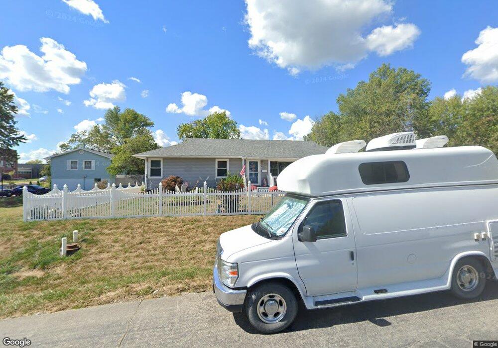
107 S Lincoln Ave Knob Noster, MO 65336
Estimated Value: $130,000 - $183,000
--
Bed
--
Bath
2,309
Sq Ft
$70/Sq Ft
Est. Value
About This Home
This home is located at 107 S Lincoln Ave, Knob Noster, MO 65336 and is currently estimated at $161,262, approximately $69 per square foot. 107 S Lincoln Ave is a home located in Johnson County with nearby schools including Knob Noster High School.
Ownership History
Date
Name
Owned For
Owner Type
Purchase Details
Closed on
Jun 19, 2010
Sold by
West Paulyn and Chatman Paula
Bought by
Babineaux Richard and Babineaux Debbie K
Current Estimated Value
Home Financials for this Owner
Home Financials are based on the most recent Mortgage that was taken out on this home.
Original Mortgage
$74,630
Outstanding Balance
$49,771
Interest Rate
4.87%
Mortgage Type
Future Advance Clause Open End Mortgage
Estimated Equity
$111,491
Purchase Details
Closed on
Jan 22, 2008
Sold by
Declue Elliott R and Declue Elizabeth J
Bought by
Jenkins Deborah K
Create a Home Valuation Report for This Property
The Home Valuation Report is an in-depth analysis detailing your home's value as well as a comparison with similar homes in the area
Home Values in the Area
Average Home Value in this Area
Purchase History
| Date | Buyer | Sale Price | Title Company |
|---|---|---|---|
| Babineaux Richard | -- | None Available | |
| Jenkins Deborah K | -- | -- |
Source: Public Records
Mortgage History
| Date | Status | Borrower | Loan Amount |
|---|---|---|---|
| Open | Babineaux Richard | $74,630 |
Source: Public Records
Tax History Compared to Growth
Tax History
| Year | Tax Paid | Tax Assessment Tax Assessment Total Assessment is a certain percentage of the fair market value that is determined by local assessors to be the total taxable value of land and additions on the property. | Land | Improvement |
|---|---|---|---|---|
| 2024 | $619 | $10,372 | $0 | $0 |
| 2023 | $619 | $10,372 | $0 | $0 |
| 2022 | $594 | $9,955 | $0 | $0 |
| 2021 | $613 | $9,955 | $0 | $0 |
| 2020 | $591 | $9,537 | $0 | $0 |
| 2019 | $576 | $9,537 | $0 | $0 |
| 2017 | $482 | $8,386 | $0 | $0 |
| 2016 | $483 | $8,386 | $0 | $0 |
| 2015 | $488 | $8,386 | $0 | $0 |
| 2014 | -- | $8,386 | $0 | $0 |
Source: Public Records
Map
Nearby Homes
- 610 Elm St
- 201 W Wimer St
- 0 Tba N A Unit HMS2552694
- 501 W Mcpherson St
- 613 Hillcrest Dr
- ??? W 6th Street Terrace
- 601 Westside Dr
- 900 Charles St
- 609 Summit Rd
- 611 Summit Rd
- 106 Division St
- 806 S Washington Ave
- 129 NE 981
- 503 Dogwood Dr
- 1105 Charles St
- 900 Summit Rd
- 1107 Charles St
- 170 NE 1011
- 606 Kendrick St
- TBD 9.57 Acres NE 23 Hwy
- 304 E Wimer St
- 111 S Lincoln Ave
- 105 S Lincoln Ave
- 305 E Mcpherson St
- 106 S Jackson Ave
- 102 S Jackson Ave
- 405 E Mcpherson St
- 111 S Jackson Ave
- 310 E Mcpherson St
- 109 S Jackson Ave
- 107 S Grant Ave
- 410 E Wimer St
- 306 E Mcpherson St
- 411 E Mcpherson St
- 400 E Mcpherson St
- 300 E Mcpherson St
- 206 E Wimer St
- 404 E Mcpherson St
- 107 N Lincoln Ave
- 205 E Mcpherson St