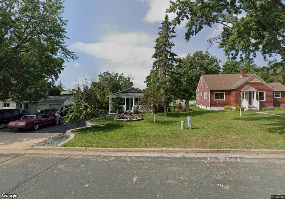
107 S Locust St Roberts, WI 54023
Warren NeighborhoodEstimated Value: $287,000 - $347,000
--
Bed
--
Bath
--
Sq Ft
10,672
Sq Ft Lot
About This Home
This home is located at 107 S Locust St, Roberts, WI 54023 and is currently estimated at $314,307. 107 S Locust St is a home located in St. Croix County with nearby schools including Saint Croix Central Elementary School, Saint Croix Central Middle School, and St. Croix Central High School.
Ownership History
Date
Name
Owned For
Owner Type
Purchase Details
Closed on
Nov 28, 2018
Sold by
Bremer Oreo Wisconsin Inc
Bought by
Radunzel Todd
Current Estimated Value
Purchase Details
Closed on
Jan 29, 2018
Sold by
Bremer Bank Na
Bought by
Bremer Oreo Wisconsin Inc
Purchase Details
Closed on
Jan 3, 2018
Sold by
Rosemary E Hancock Sheriff
Bought by
Bremer Bank Na
Create a Home Valuation Report for This Property
The Home Valuation Report is an in-depth analysis detailing your home's value as well as a comparison with similar homes in the area
Home Values in the Area
Average Home Value in this Area
Purchase History
| Date | Buyer | Sale Price | Title Company |
|---|---|---|---|
| Radunzel Todd | $36,500 | Abstracts & Titles | |
| Bremer Oreo Wisconsin Inc | -- | -- | |
| Bremer Bank Na | -- | -- |
Source: Public Records
Tax History Compared to Growth
Tax History
| Year | Tax Paid | Tax Assessment Tax Assessment Total Assessment is a certain percentage of the fair market value that is determined by local assessors to be the total taxable value of land and additions on the property. | Land | Improvement |
|---|---|---|---|---|
| 2024 | $35 | $275,000 | $32,600 | $242,400 |
| 2023 | $3,384 | $157,000 | $25,300 | $131,700 |
| 2022 | $3,170 | $157,000 | $25,300 | $131,700 |
| 2021 | $2,912 | $157,000 | $25,300 | $131,700 |
| 2020 | $2,627 | $135,800 | $25,300 | $110,500 |
| 2019 | $2,578 | $120,600 | $25,300 | $95,300 |
| 2018 | $3,460 | $122,400 | $25,300 | $97,100 |
| 2017 | $2,891 | $122,400 | $25,300 | $97,100 |
| 2016 | $2,891 | $103,900 | $33,700 | $70,200 |
| 2015 | $2,508 | $103,900 | $33,700 | $70,200 |
| 2014 | $2,372 | $103,900 | $33,700 | $70,200 |
| 2013 | $2,231 | $103,900 | $33,700 | $70,200 |
Source: Public Records
Map
Nearby Homes
- xxx N Division St
- 601 S Division St
- 603 S Division St
- 112 W Brewer St
- 603 Field Point St
- 607 Field Point St
- 628 Franklin St
- 630 Franklin St
- 632 Franklin St
- 613 Field Point St
- 634 Franklin St
- 636 Franklin St
- 615 Field Point St
- 610 Field Point St
- 640 Franklin St
- 642 Franklin St
- 617 Field Point St
- 621 Field Point St
- 622 Field Point St
- 1224 US Highway 12
- 105 S Locust St
- 105 S Locust St
- 306 W Main St
- 301 W Warren St
- 220 W Main St
- 108 S Locust St
- 218 W Main St
- 307 W Warren St
- 308 W Main St
- 213 W Warren St
- 106 West Blvd
- 539 N Knowles Ave
- 211 W Warren St
- 539 N Knowles Ave
- 0 Roberts 58 Unit 7840795-11856471
- 0 Roberts 58 Unit 7840795-11719934
- 209 W Warren St
- 302 W Warren St
- 300 W Warren St
- 308 W Warren St