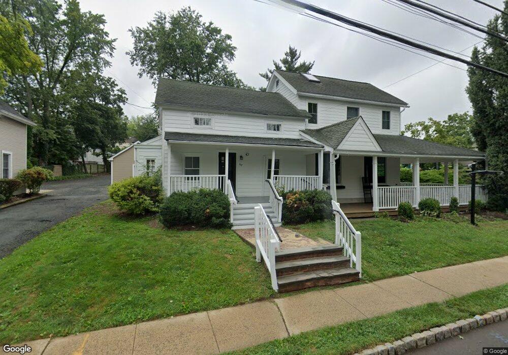
107 S Maple Ave Basking Ridge, NJ 07920
Estimated Value: $1,129,476
4
Beds
3
Baths
3,842
Sq Ft
$294/Sq Ft
Est. Value
About This Home
This home is located at 107 S Maple Ave, Basking Ridge, NJ 07920 and is currently estimated at $1,129,476, approximately $293 per square foot. 107 S Maple Ave is a home located in Somerset County with nearby schools including Oak Street Elementary School, Cedar Hill Elementary School, and William Annin Middle School.
Ownership History
Date
Name
Owned For
Owner Type
Purchase Details
Closed on
Jun 28, 2022
Sold by
Cordasco Ingrid I
Bought by
Dowd Molli R
Current Estimated Value
Purchase Details
Closed on
Feb 7, 1996
Sold by
Wood Chris
Bought by
Cordasco Gregory and Cordasco Ingrid
Home Financials for this Owner
Home Financials are based on the most recent Mortgage that was taken out on this home.
Original Mortgage
$131,000
Interest Rate
6.99%
Mortgage Type
Commercial
Create a Home Valuation Report for This Property
The Home Valuation Report is an in-depth analysis detailing your home's value as well as a comparison with similar homes in the area
Home Values in the Area
Average Home Value in this Area
Purchase History
| Date | Buyer | Sale Price | Title Company |
|---|---|---|---|
| Dowd Molli R | $895,000 | Old Republic Title | |
| Dowd Molli R | $895,000 | Old Republic Title | |
| Cordasco Gregory | $175,000 | -- |
Source: Public Records
Mortgage History
| Date | Status | Borrower | Loan Amount |
|---|---|---|---|
| Previous Owner | Cordasco Gregory | $131,000 |
Source: Public Records
Tax History Compared to Growth
Tax History
| Year | Tax Paid | Tax Assessment Tax Assessment Total Assessment is a certain percentage of the fair market value that is determined by local assessors to be the total taxable value of land and additions on the property. | Land | Improvement |
|---|---|---|---|---|
| 2025 | $15,036 | $864,500 | $286,400 | $578,100 |
| 2024 | $15,036 | $845,200 | $286,400 | $558,800 |
| 2023 | $15,940 | $845,200 | $286,400 | $558,800 |
| 2022 | $16,997 | $845,200 | $286,400 | $558,800 |
| 2021 | $17,834 | $845,200 | $286,400 | $558,800 |
| 2020 | $17,698 | $845,200 | $286,400 | $558,800 |
| 2019 | $17,191 | $845,200 | $286,400 | $558,800 |
| 2018 | $16,176 | $806,800 | $286,400 | $520,400 |
| 2017 | $15,789 | $793,800 | $286,400 | $507,400 |
| 2016 | $15,370 | $787,800 | $286,400 | $501,400 |
| 2015 | $15,094 | $787,800 | $286,400 | $501,400 |
| 2014 | $15,236 | $787,800 | $286,400 | $501,400 |
Source: Public Records
Map
Nearby Homes
- 19 Juniper Way
- 22 Dayton St
- 117 W Oak St
- 151 Madisonville Rd
- 10 Tysley St
- 16 Dayton Crescent
- 374 S Maple Ave
- 135 Woods End Dr
- 209 Lake Rd
- 12 Tamarisk Ct
- 20 Anderson Hill Rd
- 26 Anderson Hill Rd
- 15 Highview Ave
- 41 Anderson Hill Rd
- 80 Claremont Rd Unit 802
- 80 Claremont Rd Unit 206
- 58 Seney Dr
- 247 Lyons Rd
- 22 Orchard Hill Rd
- 34 Spruce Place
- 127 S Maple Ave
- 36 Lewis St
- 96 S Maple Ave
- 110 S Maple Ave
- 116 S Maple Ave
- 133 S Maple Ave
- 122 S Maple Ave
- 85 S Maple Ave
- 20 Lewis St
- 91 S Maple Ave
- 130 S Maple Ave
- 137 S Maple Ave
- 80 S Maple Ave
- 108 S Finley Ave
- 118 S Finley Ave Unit 1
- 118 S Finley Ave
- 96 S Finley Ave Unit 9999
- 94 S Finley Ave
- 141 S Maple Ave
- 136 S Maple Ave