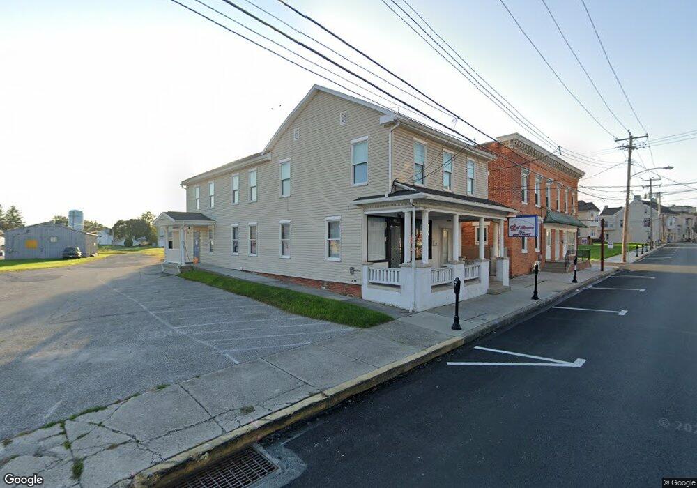
107 S Queen St Littlestown, PA 17340
Estimated Value: $219,000 - $244,000
2
Beds
2
Baths
800
Sq Ft
$291/Sq Ft
Est. Value
About This Home
This home is located at 107 S Queen St, Littlestown, PA 17340 and is currently estimated at $232,489, approximately $290 per square foot. 107 S Queen St is a home located in Adams County with nearby schools including Rolling Acres El School, Maple Avenue Middle School, and Littlestown Senior High School.
Ownership History
Date
Name
Owned For
Owner Type
Purchase Details
Closed on
Jul 24, 2019
Sold by
Reynolds David P
Bought by
Frock Autumn K and Hill Marcus K
Current Estimated Value
Home Financials for this Owner
Home Financials are based on the most recent Mortgage that was taken out on this home.
Original Mortgage
$161,616
Outstanding Balance
$141,327
Interest Rate
3.73%
Mortgage Type
New Conventional
Estimated Equity
$91,162
Purchase Details
Closed on
Dec 2, 2013
Sold by
Smith Larry W and Smith Mary K
Bought by
Reynolds David P
Home Financials for this Owner
Home Financials are based on the most recent Mortgage that was taken out on this home.
Original Mortgage
$107,015
Interest Rate
4.25%
Mortgage Type
FHA
Create a Home Valuation Report for This Property
The Home Valuation Report is an in-depth analysis detailing your home's value as well as a comparison with similar homes in the area
Home Values in the Area
Average Home Value in this Area
Purchase History
| Date | Buyer | Sale Price | Title Company |
|---|---|---|---|
| Frock Autumn K | $160,000 | -- | |
| Reynolds David P | $109,000 | None Available |
Source: Public Records
Mortgage History
| Date | Status | Borrower | Loan Amount |
|---|---|---|---|
| Open | Frock Autumn K | $161,616 | |
| Previous Owner | Reynolds David P | $107,015 |
Source: Public Records
Tax History Compared to Growth
Tax History
| Year | Tax Paid | Tax Assessment Tax Assessment Total Assessment is a certain percentage of the fair market value that is determined by local assessors to be the total taxable value of land and additions on the property. | Land | Improvement |
|---|---|---|---|---|
| 2025 | $3,453 | $150,200 | $36,900 | $113,300 |
| 2024 | $3,327 | $150,200 | $36,900 | $113,300 |
| 2023 | $3,198 | $150,200 | $36,900 | $113,300 |
| 2022 | $3,179 | $150,200 | $36,900 | $113,300 |
| 2021 | $3,085 | $150,200 | $36,900 | $113,300 |
| 2020 | $3,048 | $150,200 | $36,900 | $113,300 |
| 2019 | $2,967 | $150,700 | $36,900 | $113,800 |
| 2018 | $2,912 | $150,700 | $36,900 | $113,800 |
| 2017 | $2,838 | $150,700 | $36,900 | $113,800 |
| 2016 | -- | $150,700 | $36,900 | $113,800 |
| 2015 | -- | $150,700 | $36,900 | $113,800 |
| 2014 | -- | $149,800 | $36,900 | $112,900 |
Source: Public Records
Map
Nearby Homes
- 115 Charles St
- 61 E King St
- 117 Charles St
- 129 W King St
- 211 E King St
- 22 Rita Marie Ave
- 140 Apple Grove Ln Unit 425
- 135 Apple Grove Ln Unit 438
- 28 Gettysburg Ct Unit 60
- 52 Stayman Way Unit 81
- 440 N Queen St
- 449 Glenwyn Dr
- 162 Newark St
- 41 Smith Cir
- 535 Lumber St
- 15 Yorktowne Ct Unit 97
- 559 Lumber St
- 567 Lumber St
- 161 Stoners Cir
- 5 Manor Cir Unit 103
- 50 S Queen St
- 100 S Queen St
- 40 S Queen St
- 10 Lumber St
- 36 S Queen St
- 14 Lumber St
- 34 S Queen St
- 29 S Queen St
- 19 Lumber St Unit 7
- 201 S Queen St
- 28 S Queen St
- 21 Lumber St Unit 6
- 23 Lumber St Unit 5
- 8 Cemetery St Unit 5
- 8 Cemetery St Unit 2
- 8 Cemetery St
- 3 E King St
- 3 E King St Unit MIXED USE PORTFOLIO
- 124 M St
- 24 Lumber St Unit 1