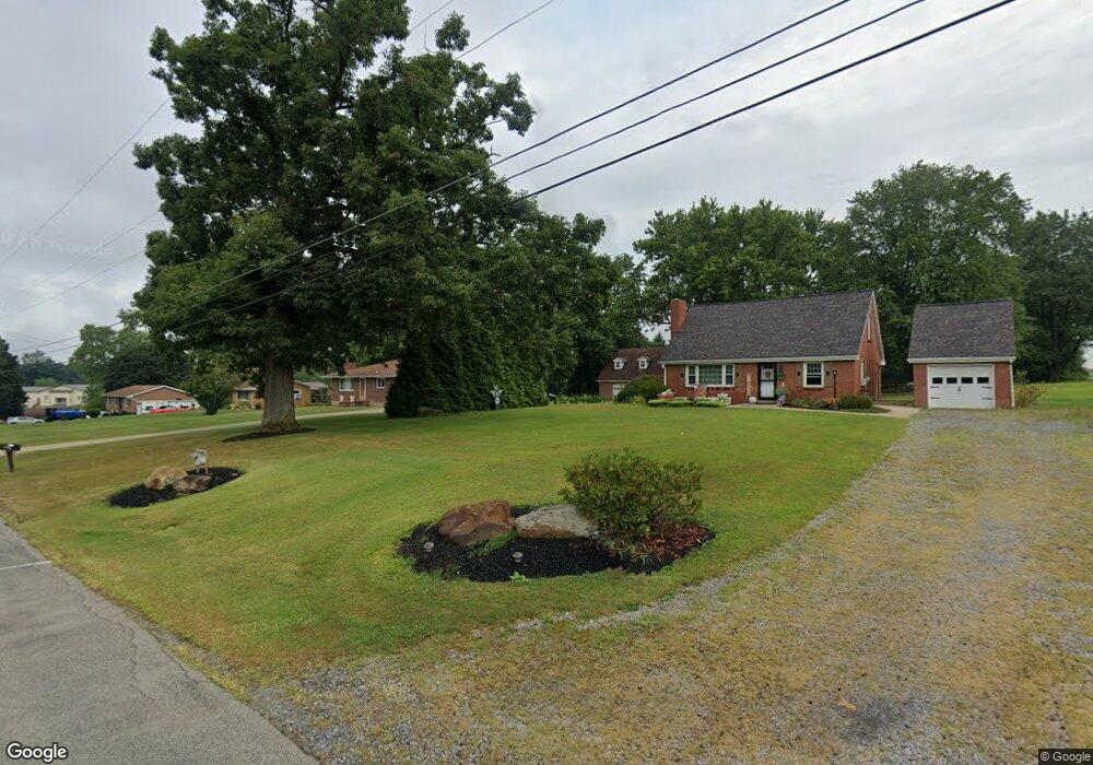
107 Srader Grove Rd Freeport, PA 16229
South Buffalo Township NeighborhoodEstimated Value: $201,493 - $216,000
2
Beds
2
Baths
1,080
Sq Ft
$194/Sq Ft
Est. Value
About This Home
This home is located at 107 Srader Grove Rd, Freeport, PA 16229 and is currently estimated at $209,873, approximately $194 per square foot. 107 Srader Grove Rd is a home with nearby schools including South Buffalo Elementary School and Freeport Area Senior High School.
Ownership History
Date
Name
Owned For
Owner Type
Purchase Details
Closed on
Sep 29, 2009
Sold by
Hoover Linda
Bought by
Mccorkle Herbert Edward
Current Estimated Value
Create a Home Valuation Report for This Property
The Home Valuation Report is an in-depth analysis detailing your home's value as well as a comparison with similar homes in the area
Home Values in the Area
Average Home Value in this Area
Purchase History
| Date | Buyer | Sale Price | Title Company |
|---|---|---|---|
| Mccorkle Herbert Edward | $102,000 | None Available |
Source: Public Records
Tax History Compared to Growth
Tax History
| Year | Tax Paid | Tax Assessment Tax Assessment Total Assessment is a certain percentage of the fair market value that is determined by local assessors to be the total taxable value of land and additions on the property. | Land | Improvement |
|---|---|---|---|---|
| 2025 | $4,185 | $45,720 | $26,410 | $19,310 |
| 2024 | $4,193 | $45,720 | $26,410 | $19,310 |
| 2023 | $3,418 | $45,720 | $26,410 | $19,310 |
| 2022 | $3,418 | $45,720 | $26,410 | $19,310 |
| 2021 | $3,358 | $45,720 | $26,410 | $19,310 |
| 2020 | $3,358 | $45,720 | $26,410 | $19,310 |
| 2019 | $3,286 | $45,720 | $26,410 | $19,310 |
| 2018 | $3,286 | $37,730 | $10,145 | $27,585 |
| 2017 | $3,241 | $45,720 | $26,410 | $19,310 |
| 2016 | $3,150 | $45,720 | $26,410 | $19,310 |
| 2015 | $2,570 | $45,720 | $26,410 | $19,310 |
| 2014 | $2,570 | $45,720 | $26,410 | $19,310 |
Source: Public Records
Map
Nearby Homes
- 129 Ridgecrest Dr
- 1146 Sarver Rd
- 170 Ralston Rd
- 214 Cadogan Slate Lick Rd
- 542 Franklin St
- 29 Main St
- 446 Monroe Rd
- 107 Silverview Dr
- 1261 Sandy Ridge Dr
- 1283 Sandy Ridge Dr
- 1282 Sandy Ridge Dr
- 1071 Sandy Ridge Dr
- Lot #1 Woodhaven Dr
- Lot #2 Woodhaven Dr
- 136 Stratford Dr
- 325 Primrose Dr
- 124 Woodland Dr
- 0 Jack Rd
- 191 Bear Creek Rd
- Lot 4 Sober Rd
- 105 Srader Grove Rd
- 109 Srader Grove Rd
- 103 Srader Grove Rd
- 111 Srader Grove Rd
- 113 Srader Grove Rd
- 110 Srader Grove Rd
- 710 Freeport Rd
- 102 Srader Grove Rd
- 101 Srader Grove Rd
- 704 Freeport Rd
- 708 Freeport Rd
- 100 Srader Grove Rd
- 112 Srader Grove Rd
- 712 Freeport Rd
- 115 Srader Grove Rd
- 200 Noroski Ln
- 112 Rhea Ln
- 714 Freeport Rd
- 114 Srader Grove Rd
- 707 Freeport Rd