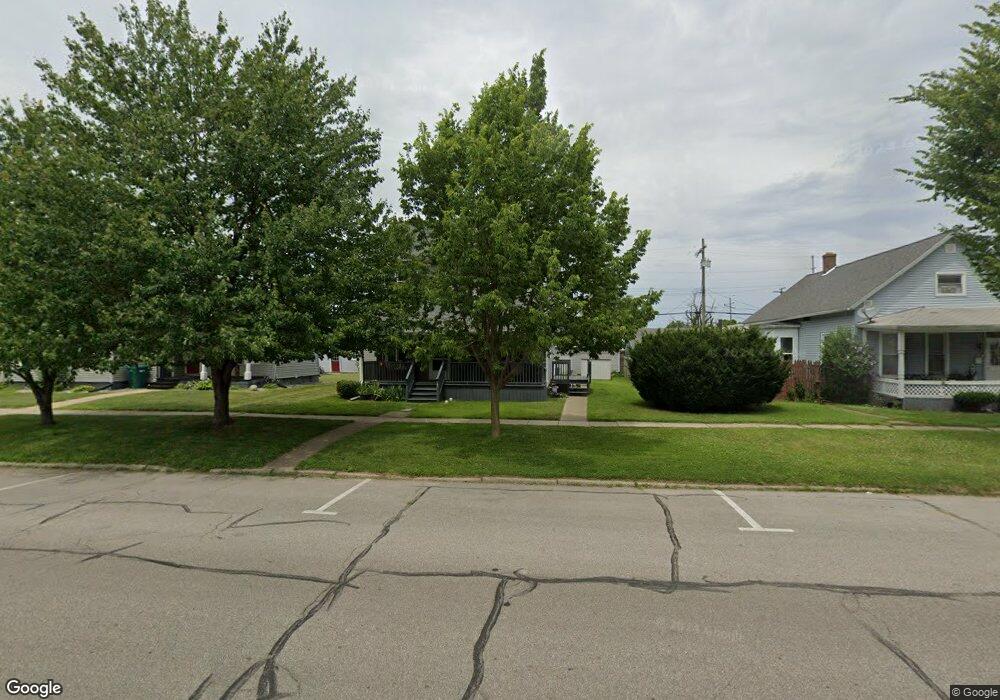
107 State St Unit 2 La Porte, IN 46350
Estimated Value: $139,000 - $179,880
3
Beds
2
Baths
1,720
Sq Ft
$93/Sq Ft
Est. Value
About This Home
This home is located at 107 State St Unit 2, La Porte, IN 46350 and is currently estimated at $160,220, approximately $93 per square foot. 107 State St Unit 2 is a home located in LaPorte County with nearby schools including Lincoln Elementary School, La Porte High School, and Dunkerton High School.
Ownership History
Date
Name
Owned For
Owner Type
Purchase Details
Closed on
Oct 9, 2017
Sold by
Brown Thomas F
Bought by
Pepple Stephen M
Current Estimated Value
Home Financials for this Owner
Home Financials are based on the most recent Mortgage that was taken out on this home.
Original Mortgage
$75,605
Outstanding Balance
$63,033
Interest Rate
3.75%
Mortgage Type
FHA
Estimated Equity
$97,187
Purchase Details
Closed on
Oct 1, 2008
Sold by
Smith Rentals Llc
Bought by
Brown Thomas F
Create a Home Valuation Report for This Property
The Home Valuation Report is an in-depth analysis detailing your home's value as well as a comparison with similar homes in the area
Home Values in the Area
Average Home Value in this Area
Purchase History
| Date | Buyer | Sale Price | Title Company |
|---|---|---|---|
| Pepple Stephen M | -- | None Available | |
| Brown Thomas F | -- | Ticor Title Insurance Co | |
| Smith Rentals Llc | -- | Ticor Title Insurance Co |
Source: Public Records
Mortgage History
| Date | Status | Borrower | Loan Amount |
|---|---|---|---|
| Open | Pepple Stephen M | $75,605 |
Source: Public Records
Tax History Compared to Growth
Tax History
| Year | Tax Paid | Tax Assessment Tax Assessment Total Assessment is a certain percentage of the fair market value that is determined by local assessors to be the total taxable value of land and additions on the property. | Land | Improvement |
|---|---|---|---|---|
| 2024 | $1,234 | $108,600 | $11,700 | $96,900 |
| 2022 | $1,042 | $111,200 | $11,700 | $99,500 |
| 2021 | $1,042 | $104,200 | $11,700 | $92,500 |
| 2020 | $1,112 | $104,200 | $11,700 | $92,500 |
| 2019 | $1,208 | $111,200 | $17,800 | $93,400 |
| 2018 | $1,110 | $101,400 | $15,600 | $85,800 |
| 2017 | $856 | $38,000 | $5,800 | $32,200 |
| 2016 | $1,592 | $74,800 | $15,600 | $59,200 |
| 2014 | $1,340 | $67,000 | $15,600 | $51,400 |
Source: Public Records
Map
Nearby Homes
- 107 Lincolnway
- 202 Jefferson Ave
- 706 Detroit St
- 0 Brighton St Unit NRA542345
- 413 Jefferson Ave
- 906 Linwood Ave
- 161 W Mcclung Rd
- 506 Pulaski St
- 503 Grove St
- 403 Rose St
- 206 Ohio St
- 330 Virginia Ave
- 414 Allen St
- 910 Scott St
- 222 Roosevelt St
- 208 Norton St
- 205 Lawrence St
- 1025 Indiana Ave
- 0 N State Road 39 Unit 202541633
- 0 N State Road 39 Unit 202541606