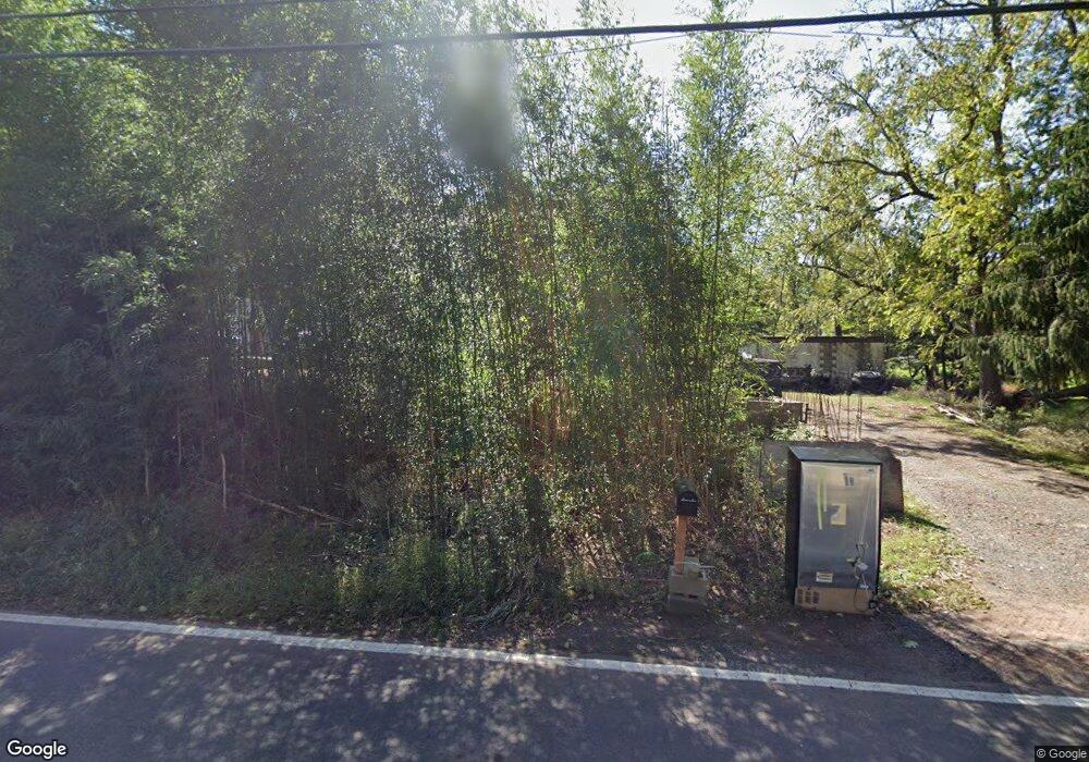
107 Station Rd Branchburg, NJ 08876
Branchburg Township NeighborhoodEstimated Value: $397,737 - $492,000
--
Bed
--
Bath
1,035
Sq Ft
$422/Sq Ft
Est. Value
About This Home
This home is located at 107 Station Rd, Branchburg, NJ 08876 and is currently estimated at $436,684, approximately $421 per square foot. 107 Station Rd is a home located in Somerset County with nearby schools including Whiton Elementary School, Stony Brook School, and Branchburg Central Middle School.
Ownership History
Date
Name
Owned For
Owner Type
Purchase Details
Closed on
Jan 18, 2010
Sold by
Mckee Thomas
Bought by
Carles Alexander J and Jordan Maria Isabel Carles
Current Estimated Value
Purchase Details
Closed on
Mar 6, 2009
Sold by
Marotti Thomas
Bought by
Mckee Thomas
Home Financials for this Owner
Home Financials are based on the most recent Mortgage that was taken out on this home.
Original Mortgage
$150,000
Interest Rate
4%
Mortgage Type
Seller Take Back
Purchase Details
Closed on
Sep 16, 1993
Sold by
Murphy Ruth
Bought by
Marotti Lisa
Home Financials for this Owner
Home Financials are based on the most recent Mortgage that was taken out on this home.
Original Mortgage
$95,000
Interest Rate
6.87%
Create a Home Valuation Report for This Property
The Home Valuation Report is an in-depth analysis detailing your home's value as well as a comparison with similar homes in the area
Home Values in the Area
Average Home Value in this Area
Purchase History
| Date | Buyer | Sale Price | Title Company |
|---|---|---|---|
| Carles Alexander J | $177,000 | Coastal Title Agency Inc | |
| Mckee Thomas | $300,000 | Chicago Title Insurance Co | |
| Marotti Lisa | $95,000 | -- |
Source: Public Records
Mortgage History
| Date | Status | Borrower | Loan Amount |
|---|---|---|---|
| Previous Owner | Mckee Thomas | $150,000 | |
| Previous Owner | Marotti Lisa | $95,000 |
Source: Public Records
Tax History Compared to Growth
Tax History
| Year | Tax Paid | Tax Assessment Tax Assessment Total Assessment is a certain percentage of the fair market value that is determined by local assessors to be the total taxable value of land and additions on the property. | Land | Improvement |
|---|---|---|---|---|
| 2025 | $4,869 | $296,300 | $156,700 | $139,600 |
| 2024 | $4,869 | $269,900 | $156,700 | $113,200 |
| 2023 | $4,745 | $253,600 | $156,700 | $96,900 |
| 2022 | $4,765 | $242,000 | $156,700 | $85,300 |
| 2021 | $4,790 | $226,600 | $156,700 | $69,900 |
| 2020 | $4,708 | $219,700 | $156,700 | $63,000 |
| 2019 | $4,648 | $215,700 | $156,700 | $59,000 |
| 2018 | $4,532 | $209,700 | $151,700 | $58,000 |
| 2017 | $4,435 | $203,800 | $146,700 | $57,100 |
| 2016 | $4,408 | $201,300 | $144,200 | $57,100 |
| 2015 | $4,394 | $201,000 | $142,200 | $58,800 |
| 2014 | $4,272 | $197,800 | $139,200 | $58,600 |
Source: Public Records
Map
Nearby Homes
- 1114 State Route 28
- 61 Waugh Ct
- 1135 State Route 28
- 507 Dunn Cir
- 5 Walnut Dr
- 48 Reinhart Way
- 19 Craft Farm Dr
- 4101 Dilts Ln
- 319 Hannah Way
- 215 Readington Rd
- 6 Heritage Ct
- 4703 Patterson St Unit 47
- 3010 Doolittle Dr
- 2104 Doolittle Dr
- 2801 Doolittle Dr
- 2008 Ackmen Ct
- 2512 Lindsley Rd
- 33 Iroquois Trail
- 3366 Us Highway 22
- 43 Wexford Way