Estimated Value: $321,000 - $1,233,000
3
Beds
1
Bath
1,058
Sq Ft
$865/Sq Ft
Est. Value
About This Home
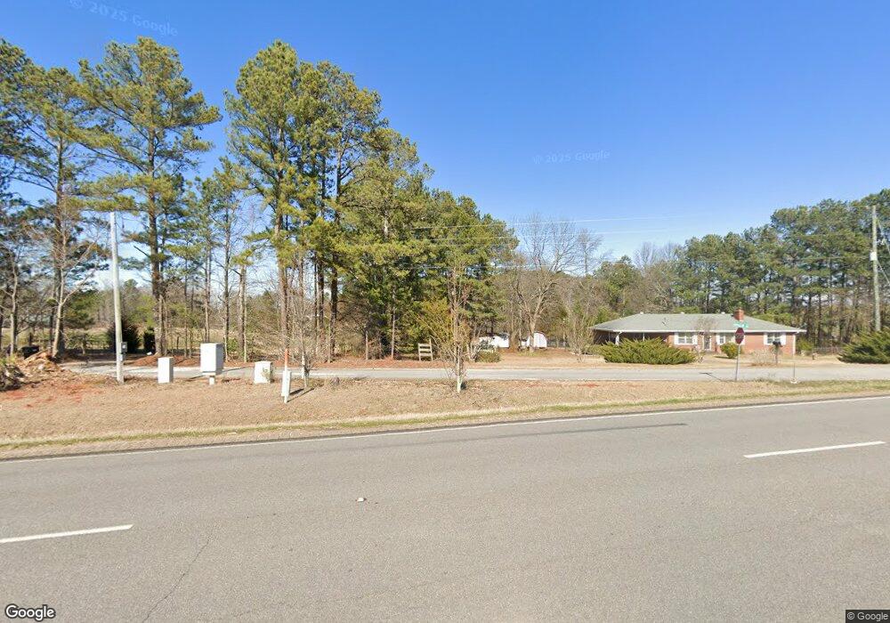
This home is located at 107 Steele Rd, Comer, GA 30629 and is currently estimated at $915,153, approximately $864 per square foot. 107 Steele Rd is a home located in Madison County with nearby schools including Madison County High School.
Ownership History
Date
Name
Owned For
Owner Type
Purchase Details
Closed on
Mar 2, 2020
Sold by
Steele Linda
Bought by
Roxburgh Acres Llc
Current Estimated Value
Home Financials for this Owner
Home Financials are based on the most recent Mortgage that was taken out on this home.
Original Mortgage
$335,000
Interest Rate
3.5%
Mortgage Type
New Conventional
Purchase Details
Closed on
Sep 2, 2009
Sold by
Steele Charles
Bought by
Steele Vivian
Purchase Details
Closed on
Jul 30, 2009
Sold by
Steele Charles
Bought by
Steele Linda
Purchase Details
Closed on
Mar 10, 2004
Sold by
Steele Richard
Bought by
Steele Charles and Steele Vivian
Purchase Details
Closed on
Oct 8, 2002
Sold by
Steele Charles Everett
Bought by
Steele Richard
Purchase Details
Closed on
Jan 16, 1999
Sold by
Steele Janie
Bought by
Steele George Richar
Create a Home Valuation Report for This Property
The Home Valuation Report is an in-depth analysis detailing your home's value as well as a comparison with similar homes in the area
Purchase History
| Date | Buyer | Sale Price | Title Company |
|---|---|---|---|
| Roxburgh Acres Llc | $750,000 | -- | |
| Steele Vivian | -- | -- | |
| Steele Linda | -- | -- | |
| Steele Charles | -- | -- | |
| Steele Richard | -- | -- | |
| Steele George Richar | -- | -- |
Source: Public Records
Mortgage History
| Date | Status | Borrower | Loan Amount |
|---|---|---|---|
| Closed | Roxburgh Acres Llc | $335,000 |
Source: Public Records
Tax History
| Year | Tax Paid | Tax Assessment Tax Assessment Total Assessment is a certain percentage of the fair market value that is determined by local assessors to be the total taxable value of land and additions on the property. | Land | Improvement |
|---|---|---|---|---|
| 2025 | $2,790 | $144,560 | $43,379 | $101,181 |
| 2024 | $2,823 | $143,351 | $43,379 | $99,972 |
| 2023 | $4,080 | $133,659 | $36,149 | $97,510 |
| 2022 | $2,796 | $118,668 | $24,852 | $93,816 |
| 2021 | $2,640 | $103,888 | $24,852 | $79,036 |
Source: Public Records
Map
Nearby Homes
- 2987 Georgia 72
- 2975 Georgia 72
- 3614 Georgia 72
- 0 Clairmont Ave Unit 10700774
- 1360 Hill St
- 113 Sidetrack Cir
- 540 Sunset Ave
- 130 Shannons Place
- 70 Shannons Ct
- 10 Shannons Ln
- 79 Gholston St
- 2665 Paoli St Unit TRACT 3
- 12 Laurel Ave
- 2633 Paoli St Unit TRACT 1
- 549 Gholston St
- 88 S Railroad Ave
- 640 Gholston St
- 0 Paoli Rd Unit 23882833
- 109 Mill Run
- 670 S Railroad Ave
- 171 Steele Rd
- 219 Steele Rd
- 315 Steele Rd
- 47 Steele Rd
- 385 Steele Rd
- 385 Steel Rd
- 0 Steele Rd Unit CM400405
- 2365 Georgia 72
- 2365 Hwy 72e
- 2365 Highway 72 E
- 2198 Georgia 72
- 2489 Highway 72 E
- 2489 Highway 72 E
- 2451 Highway 72 E
- 2489 Hwy 72e
- 3221 Highway 72 E
- 820 Highway 72 E
- 2713 Highway 72 E
- 515 Kathleen Ct
- 2252 Pine Valley Farm Rd
Your Personal Tour Guide
Ask me questions while you tour the home.