107 Sucker Brook Rd Winsted, CT 06098
Estimated Value: $556,000
--
Bed
2
Baths
--
Sq Ft
4
Acres
About This Home
This home is located at 107 Sucker Brook Rd, Winsted, CT 06098 and is currently priced at $556,000. 107 Sucker Brook Rd is a home located in Litchfield County with nearby schools including Explorations Charter School, St Anthony School, and The Gilbert School.
Ownership History
Date
Name
Owned For
Owner Type
Purchase Details
Closed on
Jul 27, 2021
Sold by
Campbell David and Campbell Paul
Bought by
Campbell Paul and Campbell Suzabbe
Current Estimated Value
Purchase Details
Closed on
Sep 15, 2016
Sold by
Campbell Shirley C
Bought by
Campbell David and Campbell Paul
Create a Home Valuation Report for This Property
The Home Valuation Report is an in-depth analysis detailing your home's value as well as a comparison with similar homes in the area
Home Values in the Area
Average Home Value in this Area
Purchase History
| Date | Buyer | Sale Price | Title Company |
|---|---|---|---|
| Campbell Paul | -- | None Available | |
| Campbell David | -- | -- |
Source: Public Records
Tax History Compared to Growth
Tax History
| Year | Tax Paid | Tax Assessment Tax Assessment Total Assessment is a certain percentage of the fair market value that is determined by local assessors to be the total taxable value of land and additions on the property. | Land | Improvement |
|---|---|---|---|---|
| 2022 | $7,238 | $215,810 | $41,370 | $174,440 |
| 2021 | $7,238 | $215,810 | $41,370 | $174,440 |
Source: Public Records
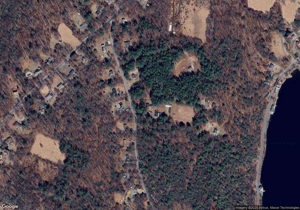
Map
Nearby Homes
- 393 Winchester Rd
- 431 W Wakefield Blvd
- 119 W Wakefield Blvd
- 156 Lincoln Ave
- 843-845 (lots - 10A, E Wakefield Blvd
- 605 E Wakefield Blvd
- 124 Rockwell St
- 106 Rockwell St
- 77 Hubbard St
- 9 John St
- 720 Main St
- 99 Hubbard St
- 118 Meadow St
- 00 Chapel Rd
- 436 Main St
- 440 Platt Hill Rd
- 48 Bridge St
- 722 Lake Dr
- 32 Charles St
- 38 Upland Rd
- 105 Sucker Brook Rd
- 106 Sucker Brook Rd
- 112 Sucker Brook Rd
- 104 Sucker Brook Rd
- 105 1/2 Sucker Brook Rd
- 114 Sucker Brook Rd
- 109 Sucker Brook Rd
- 103 1/2 Sucker Brook Rd
- 102 Sucker Brook Rd
- 103 Sucker Brook Rd
- 116 Sucker Brook Rd
- 118 Sucker Brook Rd
- 100 Sucker Brook Rd
- 120 Sucker Brook Rd
- 101 Sucker Brook Rd
- 359 Platt Hill Rd
- 301 W Wakefield Blvd
- 363 Platt Hill Rd
- 361 Platt Hill Rd
- 306 W Wakefield Blvd