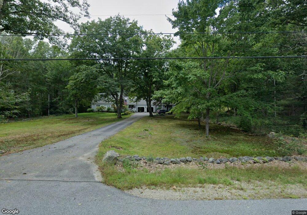
107 Upper Tarbox Rd Hollis Center, ME 04042
Hollis NeighborhoodEstimated Value: $476,720 - $827,000
--
Bed
3
Baths
--
Sq Ft
6.14
Acres
About This Home
This home is located at 107 Upper Tarbox Rd, Hollis Center, ME 04042 and is currently estimated at $651,860. 107 Upper Tarbox Rd is a home located in York County with nearby schools including Bonny Eagle High School.
Ownership History
Date
Name
Owned For
Owner Type
Purchase Details
Closed on
Jul 1, 2005
Sold by
Howard Sharon A and Howard Richard K
Bought by
Hess Nancy W and Hess John F
Current Estimated Value
Home Financials for this Owner
Home Financials are based on the most recent Mortgage that was taken out on this home.
Original Mortgage
$150,000
Outstanding Balance
$78,656
Interest Rate
5.73%
Mortgage Type
Purchase Money Mortgage
Estimated Equity
$573,204
Create a Home Valuation Report for This Property
The Home Valuation Report is an in-depth analysis detailing your home's value as well as a comparison with similar homes in the area
Home Values in the Area
Average Home Value in this Area
Purchase History
| Date | Buyer | Sale Price | Title Company |
|---|---|---|---|
| Hess Nancy W | -- | -- |
Source: Public Records
Mortgage History
| Date | Status | Borrower | Loan Amount |
|---|---|---|---|
| Open | Hess Nancy W | $150,000 |
Source: Public Records
Tax History Compared to Growth
Tax History
| Year | Tax Paid | Tax Assessment Tax Assessment Total Assessment is a certain percentage of the fair market value that is determined by local assessors to be the total taxable value of land and additions on the property. | Land | Improvement |
|---|---|---|---|---|
| 2024 | $4,837 | $322,480 | $97,270 | $225,210 |
| 2023 | $4,676 | $322,480 | $97,270 | $225,210 |
| 2022 | $4,837 | $322,480 | $97,270 | $225,210 |
| 2021 | $4,595 | $322,480 | $97,270 | $225,210 |
| 2020 | $4,515 | $322,480 | $97,270 | $225,210 |
| 2019 | $4,434 | $322,480 | $97,270 | $225,210 |
| 2018 | $4,273 | $322,480 | $97,270 | $225,210 |
| 2017 | $4,031 | $322,480 | $97,270 | $225,210 |
| 2016 | $3,854 | $322,480 | $97,270 | $225,210 |
| 2015 | $3,854 | $322,480 | $97,270 | $225,210 |
| 2014 | $3,709 | $322,480 | $97,270 | $225,210 |
| 2013 | $3,547 | $322,480 | $97,270 | $225,210 |
Source: Public Records
Map
Nearby Homes
- 19 Frank Savage Rd
- 57 Landry Dr
- 47 Landry Dr
- 24 Caroline Crossing
- 252 Plains Rd
- TBD Green Acres
- 25 Adirondack Dr
- 1102 Cape Rd
- 18 Linda Ln
- 23 Old Limerick Rd
- Lot # 0 Meadowbrook Dr
- 103 Hardscrabble Rd
- Lot 44A Hanson Ln
- Lot 44C Hanson Ln
- 1 Leona Dr
- M11L29-006 Joseph Way
- 305 River Rd
- 2 Bonny Eagle Rd
- Lot 6 Highland Ridge
- 4 Pelletier Dr
- 106 Upper Tarbox Rd
- 97 Upper Tarbox Rd
- 121 Upper Tarbox Rd
- 116 Upper Tarbox Rd
- 122 Upper Tarbox Rd
- 94 Upper Tarbox Rd
- 137 Upper Tarbox Rd
- 84 Upper Tarbox Rd
- 45 Meserve Ln
- 81 Upper Tarbox Rd
- 78 Upper Tarbox Rd
- 68 Upper Tarbox Rd
- 142 Upper Tarbox Rd
- 744 Cape Rd
- 63 Upper Tarbox Rd
- 62 Upper Tarbox Rd
- 00000 Upper Tarbox Rd
- 3 Meserve Ln
- 29 Meserve Ln
- 17 Murphy Ln