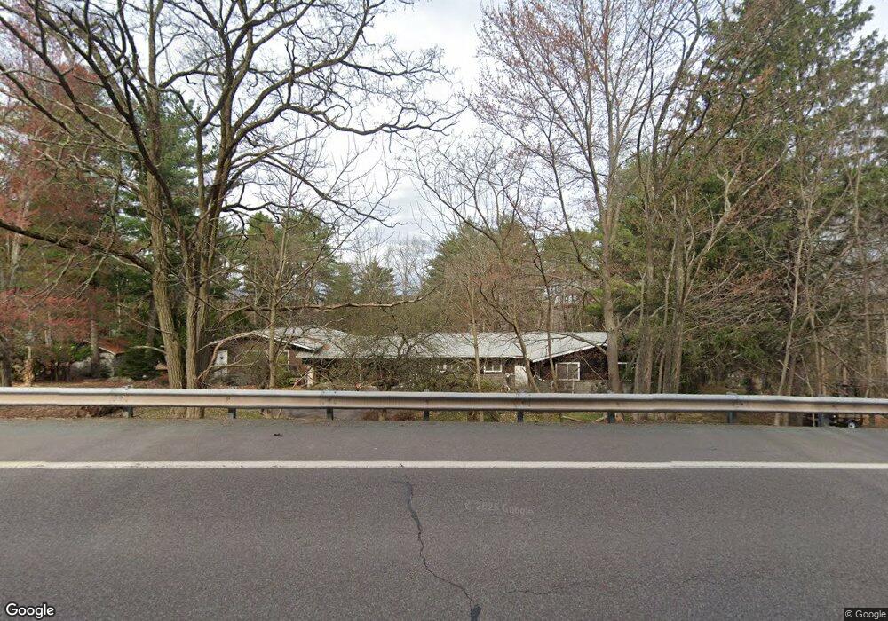
107 Upper Unger Rd Paupack, PA 18451
Estimated Value: $221,794 - $332,000
3
Beds
1
Bath
1,308
Sq Ft
$212/Sq Ft
Est. Value
About This Home
This home is located at 107 Upper Unger Rd, Paupack, PA 18451 and is currently estimated at $276,897, approximately $211 per square foot. 107 Upper Unger Rd is a home with nearby schools including Wallenpaupack Area High School.
Ownership History
Date
Name
Owned For
Owner Type
Purchase Details
Closed on
Dec 21, 2018
Sold by
Mulhern Timothy V and Mulhern Eileen V
Bought by
Dougherty Mark S and Kresge Karen M
Current Estimated Value
Purchase Details
Closed on
Jun 8, 2007
Sold by
Orman Helen M Van and Medulla Sandra
Bought by
Mulhern Timothy V and Mulhern Eileen V
Home Financials for this Owner
Home Financials are based on the most recent Mortgage that was taken out on this home.
Original Mortgage
$191,200
Interest Rate
6.14%
Mortgage Type
New Conventional
Create a Home Valuation Report for This Property
The Home Valuation Report is an in-depth analysis detailing your home's value as well as a comparison with similar homes in the area
Home Values in the Area
Average Home Value in this Area
Purchase History
| Date | Buyer | Sale Price | Title Company |
|---|---|---|---|
| Dougherty Mark S | $165,000 | None Available | |
| Mulhern Timothy V | $239,000 | None Available |
Source: Public Records
Mortgage History
| Date | Status | Borrower | Loan Amount |
|---|---|---|---|
| Previous Owner | Mulhern Timothy V | $191,200 |
Source: Public Records
Tax History
| Year | Tax Paid | Tax Assessment Tax Assessment Total Assessment is a certain percentage of the fair market value that is determined by local assessors to be the total taxable value of land and additions on the property. | Land | Improvement |
|---|---|---|---|---|
| 2025 | $2,330 | $20,860 | $4,500 | $16,360 |
| 2024 | $2,330 | $20,860 | $4,500 | $16,360 |
| 2023 | $2,241 | $20,860 | $4,500 | $16,360 |
| 2022 | $2,189 | $20,860 | $4,500 | $16,360 |
| 2021 | $2,126 | $20,860 | $4,500 | $16,360 |
| 2020 | $2,126 | $20,860 | $4,500 | $16,360 |
| 2019 | $2,058 | $20,860 | $4,500 | $16,360 |
| 2018 | $2,002 | $20,860 | $4,500 | $16,360 |
| 2017 | $1,928 | $20,860 | $4,500 | $16,360 |
| 2016 | $0 | $20,860 | $4,500 | $16,360 |
| 2014 | -- | $20,860 | $4,500 | $16,360 |
Source: Public Records
Map
Nearby Homes
- 105 Leonard Ln
- 104 Lane Ct
- 2 Knollwood Rd
- 0 Watermill Rd Unit PWBPW260415
- 605 Waterview Ln Unit 39
- 112 Waterview Ln Unit 41
- 1007 Starview Terrace
- 20 Glen Rd
- 1011 Salem Place
- 107 Juniper Dr
- 1096 Aquarius Dr
- 134 Laurel Trail
- 62 E Lakeside Dr
- 47 Summit Cir
- 860 Pennsylvania 507
- 537 Route 507
- 32 Ridge Trail
- 1045 Mountain Top Dr
- 531 Rt 507
- 11 Briar Hill Rd S
- 109 Upper Unger Rd
- 4105 Upper Unger Rd
- 107 Upper Unger Rd
- 107 Lower Unger Ln
- 111 Upper Unger Rd
- 109 Lower Unger Ln
- 101 Upper Unger Rd
- 111 Lower Unger Ln
- 702 Circle Green
- 671 Route 507
- 103 Lower Unger Ln
- 101 Lower Unger Rd
- 146 Pellet Rd
- 18 Upper Unger Rd
- E-4 Circle Green
- 148 Pellet Rd
- 112 Green Cir
- Unit G-1 Circle Green
- 111 Green Cir
- 143 Pellet Rd
Your Personal Tour Guide
Ask me questions while you tour the home.