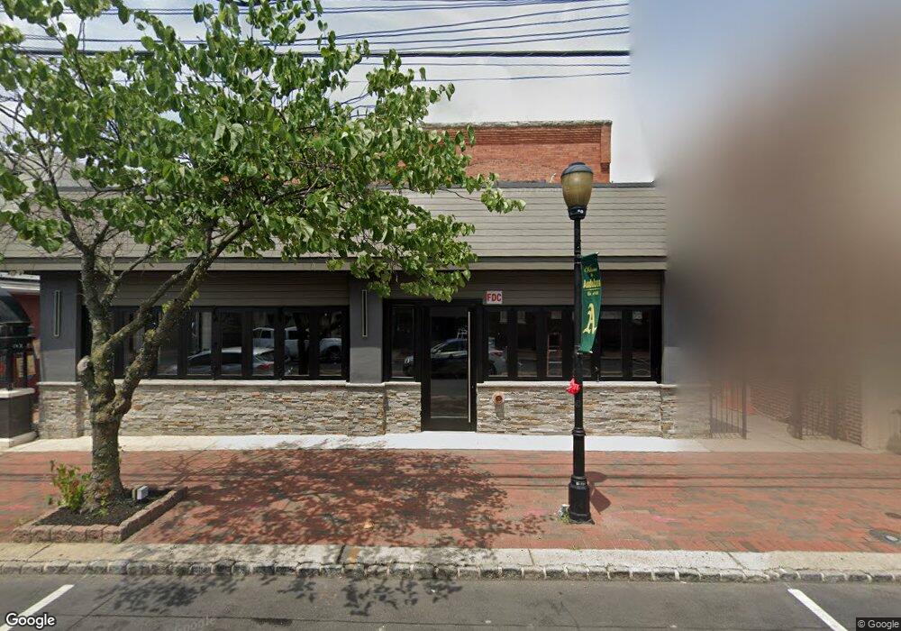
107 W Merchant St Audubon, NJ 08106
Estimated Value: $702,613
--
Bed
--
Bath
--
Sq Ft
6,098
Sq Ft Lot
About This Home
This home is located at 107 W Merchant St, Audubon, NJ 08106 and is currently estimated at $702,613. 107 W Merchant St is a home located in Camden County with nearby schools including Haviland Avenue School, Mansion Avenue School, and Audubon Junior/Senior High School.
Ownership History
Date
Name
Owned For
Owner Type
Purchase Details
Closed on
Apr 7, 2016
Sold by
Mallace Sara
Bought by
Driver Leo
Current Estimated Value
Home Financials for this Owner
Home Financials are based on the most recent Mortgage that was taken out on this home.
Original Mortgage
$215,000
Interest Rate
3.73%
Mortgage Type
Commercial
Purchase Details
Closed on
Mar 26, 2003
Sold by
Mallace Sara
Bought by
Borough Of Audubon
Create a Home Valuation Report for This Property
The Home Valuation Report is an in-depth analysis detailing your home's value as well as a comparison with similar homes in the area
Home Values in the Area
Average Home Value in this Area
Purchase History
| Date | Buyer | Sale Price | Title Company |
|---|---|---|---|
| Driver Leo | $315,000 | None Available | |
| Borough Of Audubon | $7,000 | -- | |
| Mallace Sara | -- | -- |
Source: Public Records
Mortgage History
| Date | Status | Borrower | Loan Amount |
|---|---|---|---|
| Closed | Driver Leo | $215,000 |
Source: Public Records
Tax History Compared to Growth
Tax History
| Year | Tax Paid | Tax Assessment Tax Assessment Total Assessment is a certain percentage of the fair market value that is determined by local assessors to be the total taxable value of land and additions on the property. | Land | Improvement |
|---|---|---|---|---|
| 2025 | $16,790 | $415,900 | $85,500 | $330,400 |
| 2024 | $16,233 | $415,900 | $85,500 | $330,400 |
| 2023 | $16,233 | $415,900 | $85,500 | $330,400 |
| 2022 | $15,800 | $415,900 | $85,500 | $330,400 |
| 2021 | $15,143 | $415,900 | $85,500 | $330,400 |
| 2020 | $14,997 | $415,900 | $85,500 | $330,400 |
| 2019 | $14,798 | $415,900 | $85,500 | $330,400 |
| 2018 | $14,615 | $415,900 | $85,500 | $330,400 |
| 2017 | $14,311 | $415,900 | $85,500 | $330,400 |
| 2016 | $13,937 | $415,900 | $85,500 | $330,400 |
| 2015 | $13,483 | $415,900 | $85,500 | $330,400 |
| 2014 | $13,355 | $415,900 | $85,500 | $330,400 |
Source: Public Records
Map
Nearby Homes
- 112 W Merchant St
- 110 Beloit Ave
- 227 W Graisbury Ave
- 2 Creston Ave
- 241 Mansion Ave
- 332 W Merchant St
- 256 S White Horse Pike
- 138 S Haviland Ave
- 229 S Lecato Ave
- 29 Payson Ave
- 21 N Davis Ave
- 412 W Cedar Ave
- 24 E Holly Ave
- 130 E Cedar Ave
- 300 W Holly Ave
- 249 S Davis Ave
- 114 Walnut St
- 310 Cuthbert Blvd
- 218 Walnut St
- 117 E Holly Ave
- 107 W Merchant St Unit B
- 107 W Merchant St Unit A
- 107 W Merchant St Unit 2-B
- 107 W Merchant St Unit 2-A
- 107 W Merchant St Unit 1-R
- 111 W Merchant St
- 105 W Merchant St
- 105 W Merchant St Unit 2ND FLOOR
- 103 W Merchant St Unit 2ND FLOOR
- 103 W Merchant St
- 50 W Atlantic Ave
- 48 W Atlantic Ave
- 48 W Atlantic Ave Unit A
- 115 W Merchant St
- 46 W Atlantic Ave
- 101 W Merchant St
- 117 W Merchant St Unit 1
- 117 W Merchant St
- 117 W Merchant St Unit B
- 44 W Atlantic Ave