107 W Point Dr Jacksonville, IL 62650
Estimated Value: $233,000 - $298,000
--
Bed
--
Bath
1,678
Sq Ft
$158/Sq Ft
Est. Value
About This Home
This home is located at 107 W Point Dr, Jacksonville, IL 62650 and is currently estimated at $265,145, approximately $158 per square foot. 107 W Point Dr is a home located in Morgan County with nearby schools including Jacksonville High School.
Ownership History
Date
Name
Owned For
Owner Type
Purchase Details
Closed on
Feb 26, 2021
Sold by
Childers Betty and Estate Of Timothy C Childers
Bought by
Drake Paul A and Drake Lynda M
Current Estimated Value
Home Financials for this Owner
Home Financials are based on the most recent Mortgage that was taken out on this home.
Original Mortgage
$154,050
Outstanding Balance
$114,184
Interest Rate
2.7%
Mortgage Type
New Conventional
Estimated Equity
$150,961
Purchase Details
Closed on
Aug 30, 2006
Sold by
Slaton Stuart L and Slaton Helen S
Bought by
Childers Timothy C
Home Financials for this Owner
Home Financials are based on the most recent Mortgage that was taken out on this home.
Original Mortgage
$206,026
Interest Rate
6.77%
Mortgage Type
Future Advance Clause Open End Mortgage
Create a Home Valuation Report for This Property
The Home Valuation Report is an in-depth analysis detailing your home's value as well as a comparison with similar homes in the area
Home Values in the Area
Average Home Value in this Area
Purchase History
| Date | Buyer | Sale Price | Title Company |
|---|---|---|---|
| Drake Paul A | $154,092 | Attorney | |
| Childers Timothy C | $205,000 | None Available |
Source: Public Records
Mortgage History
| Date | Status | Borrower | Loan Amount |
|---|---|---|---|
| Open | Drake Paul A | $154,050 | |
| Previous Owner | Childers Timothy C | $206,026 |
Source: Public Records
Tax History Compared to Growth
Tax History
| Year | Tax Paid | Tax Assessment Tax Assessment Total Assessment is a certain percentage of the fair market value that is determined by local assessors to be the total taxable value of land and additions on the property. | Land | Improvement |
|---|---|---|---|---|
| 2024 | $4,426 | $91,390 | $6,670 | $84,720 |
| 2023 | $3,832 | $63,990 | $6,670 | $57,320 |
| 2022 | $3,886 | $63,990 | $6,670 | $57,320 |
| 2021 | $3,788 | $59,240 | $6,670 | $52,570 |
| 2020 | $4,548 | $68,270 | $6,670 | $61,600 |
| 2019 | $4,155 | $63,050 | $6,670 | $56,380 |
| 2018 | $4,139 | $64,510 | $7,600 | $56,910 |
| 2017 | $3,976 | $62,850 | $7,600 | $55,250 |
| 2016 | $3,800 | $59,860 | $7,240 | $52,620 |
| 2015 | $3,755 | $57,560 | $6,960 | $50,600 |
| 2014 | $3,755 | $56,990 | $6,890 | $50,100 |
| 2013 | $3,595 | $56,990 | $6,890 | $50,100 |
Source: Public Records
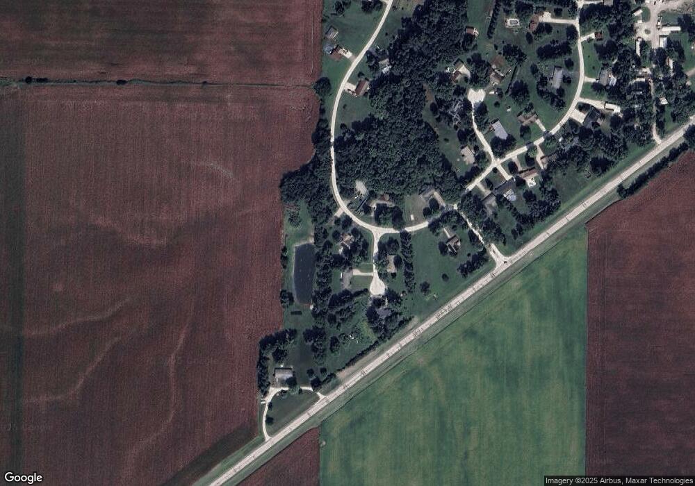
Map
Nearby Homes
- 1640 Old Highway 67
- 1672 Mount Zion Rd
- 307 Westwinds Dr
- 400 Massey Ln
- 1903 Mound Rd
- 1924 Cedar St
- 12 Newland Ln
- 1856 Plum St
- 1835 Mound Rd
- 510 S Westgate Ave
- 207 Mound Place
- 2 Valleyview Rd
- 414 S Westgate Ave
- 1815 Mound Rd
- 1585 Gravel Springs Cir
- 3 Ivywood Dr
- 1 Jones Place
- 1865 Gravel Springs Cir
- 33 Windrush Dr
- 108 Nansarah Dr
- 107 Westpoint N
- 124 Coral Berry Dr
- 111 W Point Dr
- 121 Coral Berry Dr
- 121 Coralberry Dr
- 111 Westpoint N
- 123 Coral Berry Dr
- 128 Coral Berry Dr
- 105 Westpoint N
- 125 Coral Berry Dr
- 110 W Point Dr
- 110 Westpoint N
- 102 W Point Dr
- 1405 Merritt Rd
- 6 N Westpoint
- 1415 Merritt Rd
- 124 W Point Dr
- 126 W Point Dr
- 122 W Point Dr
- 1391 Merritt Rd